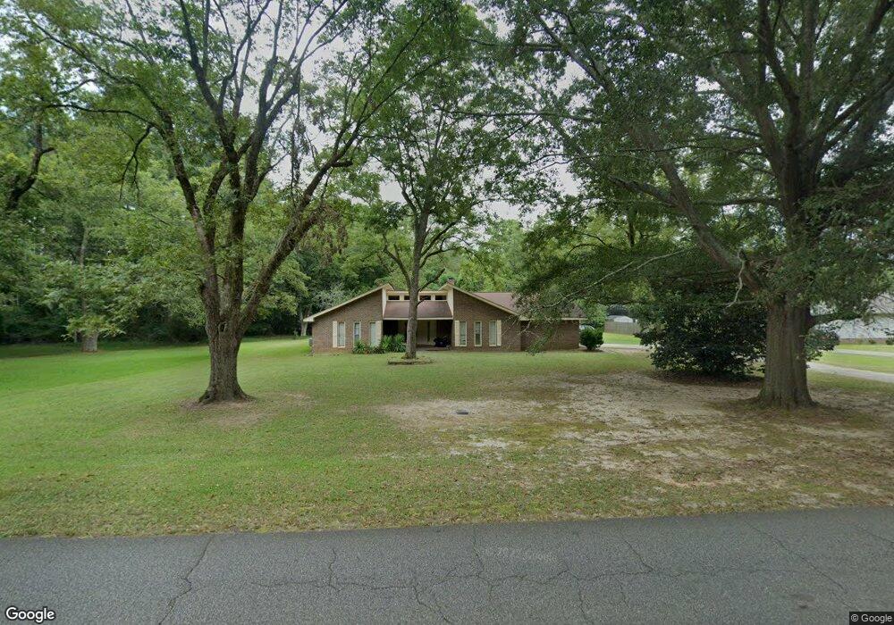
224 Collier Rd Barnesville, GA 30204
Estimated Value: $286,000 - $338,000
3
Beds
2
Baths
1,913
Sq Ft
$160/Sq Ft
Est. Value
About This Home
This home is located at 224 Collier Rd, Barnesville, GA 30204 and is currently estimated at $305,595, approximately $159 per square foot. 224 Collier Rd is a home located in Lamar County with nearby schools including Lamar County Primary School, Lamar County Elementary School, and Lamar County Middle School.
Ownership History
Date
Name
Owned For
Owner Type
Purchase Details
Closed on
Aug 29, 2005
Sold by
Taylor John S
Bought by
Lyons Earl L and Lyons Sonya Denise
Current Estimated Value
Home Financials for this Owner
Home Financials are based on the most recent Mortgage that was taken out on this home.
Original Mortgage
$109,600
Outstanding Balance
$62,589
Interest Rate
7.25%
Mortgage Type
New Conventional
Estimated Equity
$243,006
Purchase Details
Closed on
Jan 1, 1974
Sold by
Boyt Horace
Bought by
Taylor John S
Create a Home Valuation Report for This Property
The Home Valuation Report is an in-depth analysis detailing your home's value as well as a comparison with similar homes in the area
Home Values in the Area
Average Home Value in this Area
Purchase History
| Date | Buyer | Sale Price | Title Company |
|---|---|---|---|
| Lyons Earl L | $137,000 | -- | |
| Taylor John S | -- | -- |
Source: Public Records
Mortgage History
| Date | Status | Borrower | Loan Amount |
|---|---|---|---|
| Open | Lyons Earl L | $109,600 | |
| Closed | Lyons Earl L | $27,400 |
Source: Public Records
Tax History
| Year | Tax Paid | Tax Assessment Tax Assessment Total Assessment is a certain percentage of the fair market value that is determined by local assessors to be the total taxable value of land and additions on the property. | Land | Improvement |
|---|---|---|---|---|
| 2025 | $3,002 | $123,870 | $6,800 | $117,070 |
| 2024 | $2,882 | $102,226 | $6,800 | $95,426 |
| 2023 | $2,832 | $93,436 | $6,800 | $86,636 |
| 2022 | $2,296 | $85,074 | $6,800 | $78,274 |
| 2021 | $2,008 | $68,679 | $6,800 | $61,879 |
| 2020 | $1,873 | $61,062 | $6,800 | $54,262 |
| 2019 | $1,877 | $61,062 | $6,800 | $54,262 |
| 2018 | $1,521 | $51,826 | $6,800 | $45,026 |
| 2017 | $1,513 | $51,826 | $6,800 | $45,026 |
| 2016 | $1,514 | $51,826 | $6,800 | $45,026 |
| 2015 | $1,509 | $51,826 | $6,800 | $45,026 |
| 2014 | $1,462 | $51,826 | $6,800 | $45,026 |
| 2013 | -- | $51,826 | $6,800 | $45,026 |
Source: Public Records
Map
Nearby Homes
- 209 Founders Dr
- 24 Sims St
- 0 Hannah Ct Unit LOT 13 10587187
- 0 Hannah Ct Unit LOT 10 10587183
- 0 Hannah Ct Unit LOT 14 10587190
- 108 Bradley Cir
- 0 Hannah St Unit LOT 1 10587177
- 0 Martin Luther King Junior Pkwy
- 149 Holmes St
- 329 Pine St
- 147 Stafford Ave
- 0 Washington St Unit 10710879
- 114 Stafford Ave
- 7 Jackson St
- 531 Thomaston St
- 0 Roberts Rd Unit 10593586
- 107 1st St
- 0 College Dr Unit 10632977
- 642 Greenwood St
- 0 Yatesville Rd Unit 10650403
- 226 Collier Rd
- 102 Lambdin Cir
- 234 Collier Rd
- 220 Collier Rd
- 112 Founders Dr
- 112 Founders Dr Unit 32
- 112 Founders Dr Unit N/
- 103 Lambdin Cir
- 110 Lambdin Cir
- 204 Founders Dr
- 105 Lambdin Cir
- 312 Collier Rd
- 205 Founders Dr
- 107 Lambdin Cir
- 216 Collier Rd
- 207 Founders Dr
- 112 Lambdin Cir
- 109 Lambdin Cir
- 209 Founders Dr
- 216 Founders Dr
Your Personal Tour Guide
Ask me questions while you tour the home.