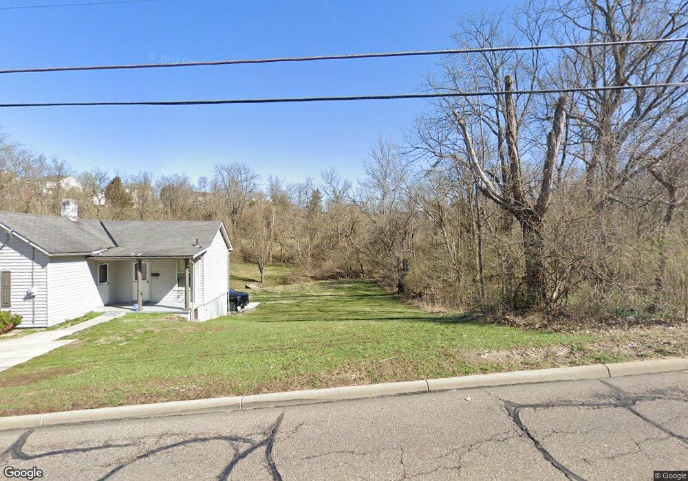
224 E State Rd Cleves, OH 45002
Estimated Value: $179,000 - $559,000
Studio
2
Baths
--
Sq Ft
14,680
Sq Ft
About This Home
This home is located at 224 E State Rd, Cleves, OH 45002 and is currently estimated at $327,000. 224 E State Rd is a home located in Hamilton County with nearby schools including Charles T. Young Elementary School, Taylor Middle School, and Taylor High School.
Ownership History
Date
Name
Owned For
Owner Type
Purchase Details
Closed on
Nov 13, 2024
Sold by
Ferry David A and Ferry Vicki L
Bought by
Ferry David A and Ferry Vicki L
Current Estimated Value
Purchase Details
Closed on
Nov 9, 2011
Sold by
Village Of Cleves
Bought by
Ferry David A and Ferry Vicky L
Purchase Details
Closed on
Jul 7, 2010
Sold by
Himes Michael A
Bought by
Villages Of Cleves
Purchase Details
Closed on
Jun 6, 2010
Sold by
Himes Kathleen J and Ahlstrom Kathleen Jean
Bought by
Himes Michael A
Purchase Details
Closed on
Mar 22, 2010
Sold by
Himes Kathleen J and Ahlstrom Kathleen Jean
Bought by
Himes Michael A
Create a Home Valuation Report for This Property
The Home Valuation Report is an in-depth analysis detailing your home's value as well as a comparison with similar homes in the area
Home Values in the Area
Average Home Value in this Area
Purchase History
| Date | Buyer | Sale Price | Title Company |
|---|---|---|---|
| Ferry David A | -- | None Listed On Document | |
| Ferry David A | -- | None Listed On Document | |
| Ferry David A | -- | Attorney | |
| Villages Of Cleves | -- | Attorney | |
| Himes Michael A | -- | Attorney | |
| Himes Michael A | -- | Attorney |
Source: Public Records
Tax History
| Year | Tax Paid | Tax Assessment Tax Assessment Total Assessment is a certain percentage of the fair market value that is determined by local assessors to be the total taxable value of land and additions on the property. | Land | Improvement |
|---|---|---|---|---|
| 2025 | $143 | $2,639 | $2,639 | -- |
| 2023 | $130 | $2,639 | $2,639 | $0 |
| 2022 | $156 | $2,552 | $2,552 | $0 |
| 2021 | $155 | $2,552 | $2,552 | $0 |
| 2020 | $165 | $2,552 | $2,552 | $0 |
| 2019 | $173 | $2,454 | $2,454 | $0 |
| 2018 | $167 | $2,454 | $2,454 | $0 |
| 2017 | $159 | $2,454 | $2,454 | $0 |
| 2016 | $148 | $2,454 | $2,454 | $0 |
| 2015 | $147 | $2,454 | $2,454 | $0 |
| 2014 | $149 | $2,454 | $2,454 | $0 |
| 2013 | $158 | $2,454 | $2,454 | $0 |
Source: Public Records
Map
Nearby Homes
- 540 Aston View Ln
- 101 E State Rd
- 542 Aston View Ln
- 22 Skidmore St
- 3889 Bear Ln
- TBD Do Not Use
- 3876 Bear Ln
- 310 Spring St
- 23 Ridge Ave
- 221 N Miami Ave
- 21 Wamsley Ave
- 8721 Deer Glen Ct
- 8720 Deer Glen Ct
- 8725 Deer Glen Ct
- 8705 Quietwood Ln
- 8724 Deer Glen Ct
- 8729 Deer Glen Ct
- 401 W Porter St
- 8732 Deer Glen Ct
- 8708 Quietwood Ln
- 220 E State Rd
- 216 E State Rd
- 211 E State Rd
- 235 E State Rd
- 239 E State Rd
- 215 E State Rd
- 205 E State Rd
- 420 E State Rd
- 249 E State Rd
- 250 E State Rd
- 263 E State Rd
- 575 Laurelwood Dr
- 579 Laurelwood Dr
- 571 Laurelwood Dr
- 567 Laurelwood Dr
- 563 Laurelwood Dr
- 110 Pontius Ave
- 277 E State Rd
- 559 Laurelwood Dr
- 157 E State Rd
Your Personal Tour Guide
Ask me questions while you tour the home.