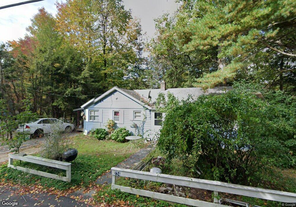
224 E Wakefield Blvd Winsted, CT 06098
Estimated Value: $232,228 - $323,000
3
Beds
1
Bath
880
Sq Ft
$309/Sq Ft
Est. Value
About This Home
This home is located at 224 E Wakefield Blvd, Winsted, CT 06098 and is currently estimated at $271,807, approximately $308 per square foot. 224 E Wakefield Blvd is a home located in Litchfield County with nearby schools including Pearson School, Explorations Charter School, and St Anthony School.
Ownership History
Date
Name
Owned For
Owner Type
Purchase Details
Closed on
Jan 13, 2015
Sold by
Soucy Patricia J
Bought by
Soucy Ct Llc
Current Estimated Value
Purchase Details
Closed on
Jun 1, 1984
Bought by
Soucy Ct Llc
Create a Home Valuation Report for This Property
The Home Valuation Report is an in-depth analysis detailing your home's value as well as a comparison with similar homes in the area
Home Values in the Area
Average Home Value in this Area
Purchase History
| Date | Buyer | Sale Price | Title Company |
|---|---|---|---|
| Soucy Ct Llc | -- | -- | |
| Soucy Ct Llc | -- | -- | |
| Soucy Ct Llc | -- | -- |
Source: Public Records
Mortgage History
| Date | Status | Borrower | Loan Amount |
|---|---|---|---|
| Previous Owner | Soucy Ct Llc | $20,000 |
Source: Public Records
Tax History
| Year | Tax Paid | Tax Assessment Tax Assessment Total Assessment is a certain percentage of the fair market value that is determined by local assessors to be the total taxable value of land and additions on the property. | Land | Improvement |
|---|---|---|---|---|
| 2025 | $3,208 | $109,970 | $31,570 | $78,400 |
| 2024 | $2,996 | $109,970 | $31,570 | $78,400 |
| 2023 | $2,902 | $109,970 | $31,570 | $78,400 |
| 2022 | $2,536 | $75,600 | $22,890 | $52,710 |
| 2021 | $2,536 | $75,600 | $22,890 | $52,710 |
| 2020 | $2,536 | $75,600 | $22,890 | $52,710 |
| 2019 | $2,536 | $75,600 | $22,890 | $52,710 |
| 2018 | $2,536 | $75,600 | $22,890 | $52,710 |
| 2017 | $2,517 | $75,040 | $22,890 | $52,150 |
| 2016 | $2,517 | $75,040 | $22,890 | $52,150 |
| 2015 | $2,454 | $75,040 | $22,890 | $52,150 |
| 2014 | $2,395 | $75,040 | $22,890 | $52,150 |
Source: Public Records
Map
Nearby Homes
- 230 E Wakefield Blvd
- 343 E Wakefield Blvd
- 107 Birdsall St
- 124 Rockwell St
- 106 Rockwell St
- 351 Platt Hill Rd
- 720 Main St
- 44 Lewis St
- 436 Main St
- 48 Bridge St
- 9 John St
- 77 Hubbard St
- 118 Meadow St
- 99 Hubbard St
- 25 Center St
- 843-845 (lots - 10A, E Wakefield Blvd
- 605 E Wakefield Blvd
- 38 Upland Rd
- 157 Elm St
- 8 Oak St
- 222 E Wakefield Blvd
- 219 E Wakefield Blvd
- 215 E Wakefield Blvd
- 207 Perch Rock Trail
- 205 Perch Rock Trail
- 209 Perch Rock Trail
- 232 Jewett St
- 203 Perch Rock Trail
- 207 E Wakefield Blvd
- 201 Birch St
- 200 Birch St
- 211 Perch Rock Trail
- 203 E Wakefield Blvd
- 231 Jewett St
- 206 Perch Rock Trail
- 204 Perch Rock Trail
- 208 Perch Rock Trail
- 210 Perch Rock Trail
- 212 Perch Rock Trail
- 214 Perch Rock Trail
Your Personal Tour Guide
Ask me questions while you tour the home.