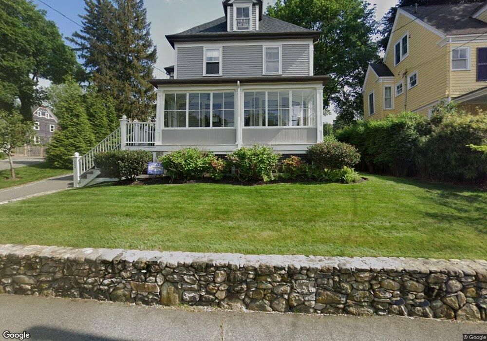
224 Eliot St Milton, MA 02186
Columbine Cliffs NeighborhoodEstimated Value: $956,537 - $1,168,000
3
Beds
2
Baths
1,880
Sq Ft
$570/Sq Ft
Est. Value
About This Home
This home is located at 224 Eliot St, Milton, MA 02186 and is currently estimated at $1,072,134, approximately $570 per square foot. 224 Eliot St is a home located in Norfolk County with nearby schools including Milton High School, Codman Academy Charter Public School, and Conservatory Lab Upper School.
Ownership History
Date
Name
Owned For
Owner Type
Purchase Details
Closed on
Aug 4, 2021
Sold by
Kinnucan Paul F and Granville Frances
Bought by
224 Eliot Street Nt
Current Estimated Value
Purchase Details
Closed on
Feb 13, 1985
Bought by
Kinnucan Paul F and Granville Frances
Create a Home Valuation Report for This Property
The Home Valuation Report is an in-depth analysis detailing your home's value as well as a comparison with similar homes in the area
Home Values in the Area
Average Home Value in this Area
Purchase History
| Date | Buyer | Sale Price | Title Company |
|---|---|---|---|
| 224 Eliot Street Nt | -- | None Available | |
| Kinnucan Paul F | $140,000 | -- |
Source: Public Records
Mortgage History
| Date | Status | Borrower | Loan Amount |
|---|---|---|---|
| Previous Owner | Kinnucan Paul F | $145,000 | |
| Previous Owner | Kinnucan Paul F | $100,000 | |
| Previous Owner | Kinnucan Paul F | $35,000 |
Source: Public Records
Tax History Compared to Growth
Tax History
| Year | Tax Paid | Tax Assessment Tax Assessment Total Assessment is a certain percentage of the fair market value that is determined by local assessors to be the total taxable value of land and additions on the property. | Land | Improvement |
|---|---|---|---|---|
| 2025 | $8,778 | $791,500 | $428,000 | $363,500 |
| 2024 | $8,666 | $793,600 | $407,700 | $385,900 |
| 2023 | $8,673 | $760,800 | $388,500 | $372,300 |
| 2022 | $7,991 | $640,800 | $388,500 | $252,300 |
| 2021 | $7,710 | $587,200 | $346,800 | $240,400 |
| 2020 | $7,431 | $566,400 | $332,300 | $234,100 |
| 2019 | $7,248 | $549,900 | $322,600 | $227,300 |
| 2018 | $6,952 | $503,400 | $279,600 | $223,800 |
| 2017 | $6,505 | $479,700 | $266,200 | $213,500 |
| 2016 | $5,512 | $408,300 | $199,700 | $208,600 |
| 2015 | $5,458 | $391,500 | $183,700 | $207,800 |
Source: Public Records
Map
Nearby Homes
- 131 Eliot St Unit 408
- 131 Eliot St Unit 305
- 67 Idaho St
- 8-14R Temple St
- 20 Herrick Dr
- 32-32R Temple St
- 32 Columbine Rd
- 30 Sanford St
- 1245 Adams St Unit B406
- 10 Briarcliff Terrace
- 23 Maryknoll St
- 36 Oakridge St
- 30 Glenhill Rd
- 30 Pleasant Hill Ave Unit 32
- 15 Fairfax Rd
- 390 Central Ave
- 32 Violet St
- 84-86 Codman Hill Ave
- 22 Branchfield St Unit D4
- 11 French St