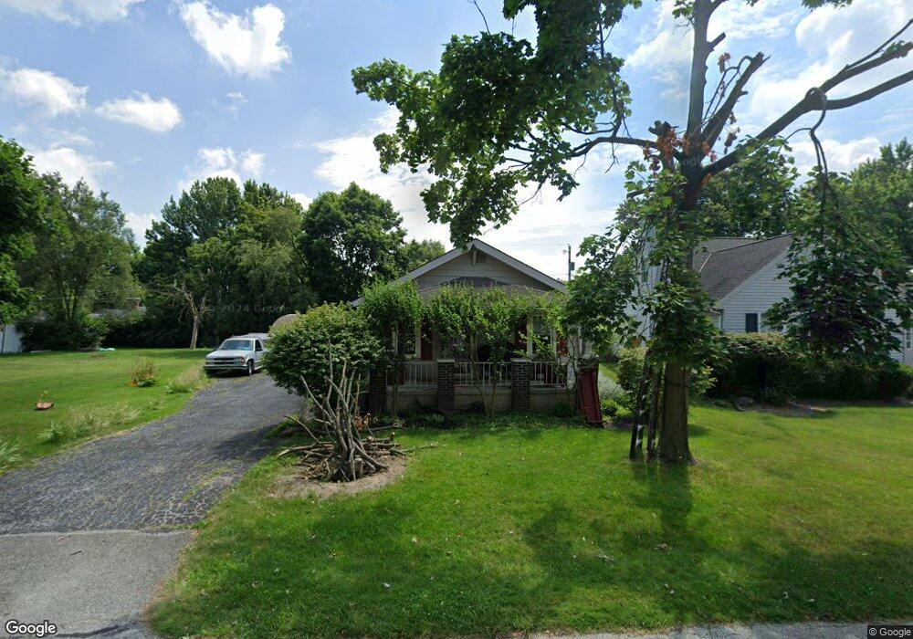
224 Elwood Ave Fostoria, OH 44830
Estimated Value: $84,000 - $128,000
2
Beds
1
Bath
798
Sq Ft
$125/Sq Ft
Est. Value
About This Home
This home is located at 224 Elwood Ave, Fostoria, OH 44830 and is currently estimated at $99,557, approximately $124 per square foot. 224 Elwood Ave is a home located in Hancock County with nearby schools including Fostoria Intermediate Elementary School and Fostoria Junior/Senior High School.
Ownership History
Date
Name
Owned For
Owner Type
Purchase Details
Closed on
Jul 3, 2006
Sold by
Beasley Donna J and Beasley Anson
Bought by
Peebles Bobby Ray
Current Estimated Value
Purchase Details
Closed on
Sep 23, 1998
Sold by
White Dee
Bought by
Posey Donna
Home Financials for this Owner
Home Financials are based on the most recent Mortgage that was taken out on this home.
Original Mortgage
$52,000
Interest Rate
6.99%
Mortgage Type
New Conventional
Purchase Details
Closed on
Apr 7, 1994
Bought by
Zechman Terry E and Zechman Dee A
Create a Home Valuation Report for This Property
The Home Valuation Report is an in-depth analysis detailing your home's value as well as a comparison with similar homes in the area
Home Values in the Area
Average Home Value in this Area
Purchase History
| Date | Buyer | Sale Price | Title Company |
|---|---|---|---|
| Peebles Bobby Ray | $63,000 | None Available | |
| Posey Donna | $49,000 | -- | |
| Zechman Terry E | $37,500 | -- |
Source: Public Records
Mortgage History
| Date | Status | Borrower | Loan Amount |
|---|---|---|---|
| Previous Owner | Posey Donna | $52,000 |
Source: Public Records
Tax History Compared to Growth
Tax History
| Year | Tax Paid | Tax Assessment Tax Assessment Total Assessment is a certain percentage of the fair market value that is determined by local assessors to be the total taxable value of land and additions on the property. | Land | Improvement |
|---|---|---|---|---|
| 2024 | $596 | $21,770 | $5,450 | $16,320 |
| 2023 | $626 | $21,770 | $5,450 | $16,320 |
| 2022 | $704 | $21,770 | $5,450 | $16,320 |
| 2021 | $485 | $17,370 | $5,730 | $11,640 |
| 2020 | $487 | $17,370 | $5,730 | $11,640 |
| 2019 | $484 | $17,370 | $5,730 | $11,640 |
| 2018 | $366 | $15,100 | $4,980 | $10,120 |
| 2017 | $366 | $15,100 | $4,980 | $10,120 |
| 2016 | $322 | $15,100 | $4,980 | $10,120 |
| 2015 | $173 | $12,180 | $4,980 | $7,200 |
| 2014 | $173 | $12,180 | $4,980 | $7,200 |
| 2012 | $698 | $13,760 | $4,980 | $8,780 |
Source: Public Records
Map
Nearby Homes
- 411 Monticello Dr
- 509 College Ave
- 418 W Ridge Dr
- 348 W South St
- 425 W Ridge Dr
- 461 W Lytle St
- 461 W Lytle St Unit 145
- 461 W Lytle St Unit 106
- 1401 Van Buren St
- 603 N Vine St
- 203 N Union St
- 603 Alma Dr
- 0 W South Route 12
- 520 N Union St
- 723 N Union St
- 901 Central Ave
- 211 Summit St
- 435 Park Ave
- 892 N Countyline St
- 931 N Union St
- 220 Elwood Ave
- 228 Elwood Ave
- 228 Elwood Ave
- 218 Elwood Ave
- 231 Elwood Ave
- 238 Elwood Ave
- 301 Independence Ave
- 309 Independence Ave
- 227 Elwood Ave
- 216 Elwood Ave
- 223 Elwood Ave
- 235 Elwood Ave
- 240 Elwood Ave
- 215 Elwood Ave
- 214 Elwood Ave
- 313 Independence Ave
- 239 Elwood Ave
- 215 Independence Ave
- 230 Watson Ave
- 232 Watson Ave