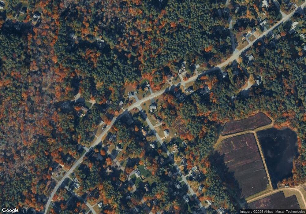
224 Gorwin Dr Hanson, MA 02341
Estimated Value: $626,467 - $724,000
3
Beds
2
Baths
2,112
Sq Ft
$325/Sq Ft
Est. Value
About This Home
This home is located at 224 Gorwin Dr, Hanson, MA 02341 and is currently estimated at $686,117, approximately $324 per square foot. 224 Gorwin Dr is a home located in Plymouth County.
Ownership History
Date
Name
Owned For
Owner Type
Purchase Details
Closed on
Jun 10, 2016
Sold by
Anderson Eric M and Anderson Lisa
Bought by
Anderson Ft
Current Estimated Value
Purchase Details
Closed on
Dec 28, 1990
Sold by
Cohen Joel I
Bought by
Anderson Eric M
Home Financials for this Owner
Home Financials are based on the most recent Mortgage that was taken out on this home.
Original Mortgage
$98,000
Interest Rate
9.96%
Mortgage Type
Purchase Money Mortgage
Create a Home Valuation Report for This Property
The Home Valuation Report is an in-depth analysis detailing your home's value as well as a comparison with similar homes in the area
Home Values in the Area
Average Home Value in this Area
Purchase History
| Date | Buyer | Sale Price | Title Company |
|---|---|---|---|
| Anderson Ft | -- | -- | |
| Anderson Eric M | $146,000 | -- |
Source: Public Records
Mortgage History
| Date | Status | Borrower | Loan Amount |
|---|---|---|---|
| Previous Owner | Anderson Eric M | $50,000 | |
| Previous Owner | Anderson Eric M | $98,000 | |
| Previous Owner | Anderson Eric M | $50,000 |
Source: Public Records
Tax History Compared to Growth
Tax History
| Year | Tax Paid | Tax Assessment Tax Assessment Total Assessment is a certain percentage of the fair market value that is determined by local assessors to be the total taxable value of land and additions on the property. | Land | Improvement |
|---|---|---|---|---|
| 2025 | $6,983 | $521,900 | $181,000 | $340,900 |
| 2024 | $6,784 | $507,000 | $175,800 | $331,200 |
| 2023 | $6,642 | $468,400 | $175,800 | $292,600 |
| 2022 | $6,427 | $425,900 | $159,800 | $266,100 |
| 2021 | $8,452 | $385,600 | $153,700 | $231,900 |
| 2020 | $5,737 | $375,700 | $148,400 | $227,300 |
| 2019 | $8,258 | $352,600 | $145,600 | $207,000 |
| 2018 | $7,134 | $339,200 | $140,000 | $199,200 |
| 2017 | $7,367 | $325,700 | $133,300 | $192,400 |
| 2016 | $5,253 | $317,400 | $133,300 | $184,100 |
| 2015 | $4,981 | $312,900 | $133,300 | $179,600 |
Source: Public Records
Map
Nearby Homes
- 456 Gorwin Dr
- 134 Crescent St
- 26 Stonebridge Dr
- Lot 6 Way
- 269 Lakeside Rd
- 430 Brook Bend Rd
- 418 E Washington St
- 84 Liberty St
- Lot 5 Princeton Way
- 15 Elm Place
- 33 Tavern Way
- 108 Waterford Dr
- 168 Spring St
- 18 Wampatuck St
- 255 Holmes St
- 842 Whitman St
- 22 Howland Trail Unit 34
- 13 Hayford Trail Unit 15
- 12 Hayford Trail Unit 17
- 7 Hayford Trail Unit 12
- 21 Richard Rd
- 225 Gorwin Dr
- 252 Gorwin Dr
- 196 Gorwin Dr
- 207 Gorwin Dr
- 33 Richard Rd
- 22 Richard Rd
- 22 Richard Rd Unit A
- 22 Richard Rd Unit 2
- 22 Richard Rd Unit 22
- 251 Gorwin Dr
- 197 Gorwin Dr
- 266 Gorwin Dr
- 36 Richard Rd
- 263 Gorwin Dr
- 49 Richard Rd
- 174 Gorwin Dr
- 14 George St
- 220 Andrew Ln
- 272 Gorwin Dr
