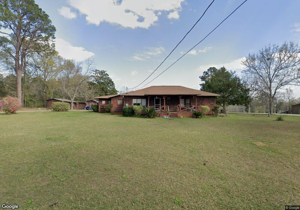
224 Loop Rd Laurel Hill, FL 32567
Estimated Value: $229,000 - $278,000
3
Beds
2
Baths
2,113
Sq Ft
$118/Sq Ft
Est. Value
About This Home
This home is located at 224 Loop Rd, Laurel Hill, FL 32567 and is currently estimated at $249,082, approximately $117 per square foot. 224 Loop Rd is a home located in Walton County with nearby schools including Paxton School.
Ownership History
Date
Name
Owned For
Owner Type
Purchase Details
Closed on
Mar 7, 2016
Sold by
Rhoades Jack T and Rhoades Dolores G
Bought by
Dibartolo Peter
Current Estimated Value
Home Financials for this Owner
Home Financials are based on the most recent Mortgage that was taken out on this home.
Original Mortgage
$108,007
Outstanding Balance
$84,932
Interest Rate
3.62%
Mortgage Type
FHA
Estimated Equity
$164,150
Create a Home Valuation Report for This Property
The Home Valuation Report is an in-depth analysis detailing your home's value as well as a comparison with similar homes in the area
Home Values in the Area
Average Home Value in this Area
Purchase History
| Date | Buyer | Sale Price | Title Company |
|---|---|---|---|
| Dibartolo Peter | $110,000 | Allstate Title & Escrow Nw F |
Source: Public Records
Mortgage History
| Date | Status | Borrower | Loan Amount |
|---|---|---|---|
| Open | Dibartolo Peter | $108,007 |
Source: Public Records
Tax History
| Year | Tax Paid | Tax Assessment Tax Assessment Total Assessment is a certain percentage of the fair market value that is determined by local assessors to be the total taxable value of land and additions on the property. | Land | Improvement |
|---|---|---|---|---|
| 2025 | $146 | $85,259 | -- | -- |
| 2024 | $139 | $82,856 | -- | -- |
| 2023 | $139 | $80,443 | $0 | $0 |
| 2022 | $136 | $78,100 | $0 | $0 |
| 2021 | $136 | $75,825 | $0 | $0 |
| 2020 | $137 | $74,778 | $5,020 | $69,758 |
| 2019 | $136 | $73,904 | $5,020 | $68,884 |
| 2018 | $136 | $73,765 | $0 | $0 |
| 2017 | $136 | $73,815 | $5,020 | $68,795 |
| 2016 | $203 | $38,680 | $0 | $0 |
| 2015 | $183 | $36,405 | $0 | $0 |
| 2014 | $182 | $36,116 | $0 | $0 |
Source: Public Records
Map
Nearby Homes
- 228 Double Bridge Rd
- 523 Landing Ave
- SR-85 Lake Dr
- 938 5th St
- 205 Varnum
- 23622 Fifth Ave
- 56 Lots 10th St
- 23796 Fifth Ave
- 22438 W 6th Ave
- 23447 2nd Ave
- Xxx Co Hwy 147 Unit LotWP001
- 22718 7th Ave
- 000 N 10th St
- XXX Co 147 Hwy
- 22641 Seventh Avanue
- 20 Acres Cannon Dr
- 118 Peach Tree St
- 22594 W 8th Ave
- 62 Bayview Dr
- 75 Blueberry Dr
- 194 Loop Rd
- 622 Loop
- 164 Loop Rd
- 631 State Highway 85
- 520 State Highway 85
- 136 Loop Rd
- 477 State Highway 85
- 104 Loop Rd
- 438 State Highway 85
- 743 State Highway 85
- 486 Double Bridge Rd
- 68 Double Bridge Rd
- 118 Double Bridge Rd
- 10 Double Bridge Rd
- 508 Double Bridge Rd
- 212 Double Bridge Rd
- 3455 State Highway 85
- 167 Florida 85 Unit 85
- 183 Lake Rd
- 153 Lake Rd
Your Personal Tour Guide
Ask me questions while you tour the home.