Estimated Value: $306,000 - $538,000
2
Beds
1
Bath
3,528
Sq Ft
$120/Sq Ft
Est. Value
About This Home
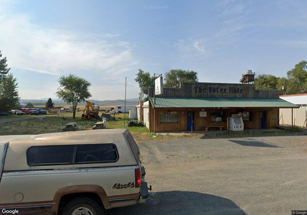
This home is located at 224 Main St, Unity, OR 97884 and is currently estimated at $422,000, approximately $119 per square foot. 224 Main St is a home located in Baker County with nearby schools including Burnt River School.
Create a Home Valuation Report for This Property
The Home Valuation Report is an in-depth analysis detailing your home's value as well as a comparison with similar homes in the area
Tax History
| Year | Tax Paid | Tax Assessment Tax Assessment Total Assessment is a certain percentage of the fair market value that is determined by local assessors to be the total taxable value of land and additions on the property. | Land | Improvement |
|---|---|---|---|---|
| 2025 | $575 | $49,975 | $23,983 | $25,992 |
| 2024 | $558 | $48,520 | $5,094 | $43,426 |
| 2023 | $544 | $47,107 | $4,930 | $42,177 |
Source: Public Records
Map
Nearby Homes
- 0 1680 Nfs Rd
- 31841 Rice Rd
- TBD Rattlesnake Ln
- 32290 Rice Rd
- 31849 Rice Rd
- 14556 Hereford Loop Rd
- 0 0 Nfs 1680 Rd Unit 24159006
- 6154 John Day Hwy
- 17925 Old Trestle Ln
- 39612 Sumpter Valley Hwy
- 78930 Middle Fork Ln
- 39151 Last Chance Ln
- 39798 Bear Gulch Rd
- 602 S Mill St
- 382 Ash St
- 379 Mill St
- 129 E Austin St
- 206 Austin St
- 455 E Auburn St
- 178 Mill St
Your Personal Tour Guide
Ask me questions while you tour the home.