224 McClarty Path Rockmart, GA 30153
Estimated Value: $240,023 - $274,000
3
Beds
2
Baths
1,200
Sq Ft
$210/Sq Ft
Est. Value
About This Home
This home is located at 224 McClarty Path, Rockmart, GA 30153 and is currently estimated at $251,506, approximately $209 per square foot. 224 McClarty Path is a home located in Paulding County with nearby schools including Sara M. Ragsdale Elementary School, Carl Scoggins Sr. Middle School, and Paulding County High School.
Ownership History
Date
Name
Owned For
Owner Type
Purchase Details
Closed on
Oct 22, 2018
Sold by
Pina Arlene Jones
Bought by
Mcclarity Joseph
Current Estimated Value
Purchase Details
Closed on
Jan 26, 2006
Sold by
Mckinzey Jeremy N
Bought by
Pina Arlene J
Purchase Details
Closed on
May 20, 2003
Sold by
Associates Financial Serv
Purchase Details
Closed on
Dec 3, 2002
Sold by
Mcclarity Lassie Thomas
Purchase Details
Closed on
May 7, 1992
Sold by
Mcclarity Noble Jean
Create a Home Valuation Report for This Property
The Home Valuation Report is an in-depth analysis detailing your home's value as well as a comparison with similar homes in the area
Home Values in the Area
Average Home Value in this Area
Purchase History
| Date | Buyer | Sale Price | Title Company |
|---|---|---|---|
| Mcclarity Joseph | $76,000 | -- | |
| Pina Arlene J | $87,100 | -- | |
| Pina Arlene Jones | $87,000 | -- | |
| -- | $73,700 | -- | |
| -- | -- | -- | |
| -- | -- | -- |
Source: Public Records
Tax History
| Year | Tax Paid | Tax Assessment Tax Assessment Total Assessment is a certain percentage of the fair market value that is determined by local assessors to be the total taxable value of land and additions on the property. | Land | Improvement |
|---|---|---|---|---|
| 2025 | $1,865 | $78,280 | $11,520 | $66,760 |
| 2024 | $1,965 | $82,240 | $12,560 | $69,680 |
| 2023 | $2,240 | $85,920 | $11,160 | $74,760 |
| 2022 | $1,666 | $63,920 | $9,280 | $54,640 |
| 2021 | $1,482 | $51,000 | $7,400 | $43,600 |
| 2020 | $1,426 | $48,000 | $7,800 | $40,200 |
| 2019 | $916 | $44,120 | $6,720 | $37,400 |
| 2018 | $357 | $35,720 | $5,920 | $29,800 |
| 2017 | $342 | $33,280 | $5,920 | $27,360 |
| 2016 | $274 | $28,160 | $6,360 | $21,800 |
| 2015 | $262 | $26,080 | $6,360 | $19,720 |
| 2014 | $237 | $22,840 | $5,440 | $17,400 |
| 2013 | -- | $17,960 | $5,480 | $12,480 |
Source: Public Records
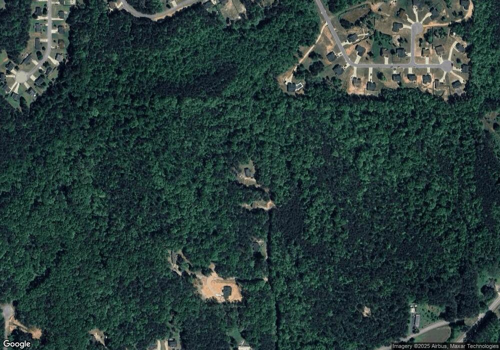
Map
Nearby Homes
- 316 White Creek Loop
- 326 White Creek Loop
- 262 White Creek Loop
- 288 White Creek Loop
- 228 White Creek Dr
- 341 Thorn Thicket Dr
- 24 Plantation Oaks Dr
- 92 Carthage Blvd
- 466 Southern Trace Dr
- 217 Duke Path
- 572 Southern Trace Dr
- 385 Prometheous Way
- 440 Prometheous Way
- 662 Presley Farm Pkwy
- 132 Southern Trace Crossing
- 117 Wallace Way
- 96 Southern Trace Dr
- 21 Headland Ct
- 560 Barnwood Dr
- 35 Ravenwood Dr
- 189 McClarty Path
- 151 McClarty Path
- 109 McClarty Path
- 84 White Creek Dr
- 84 White Creek Dr
- 152 White Creek Dr
- 105 McClarty Path
- 166 White Creek Dr
- 130 White Creek Dr Unit 51
- 124 White Creek Dr
- 124 White Creek Dr
- 276 White Creek Loop
- 180 White Creek Dr
- 344 White Creek Loop
- 344 White Creek Loop Unit 59
- 362 White Creek Loop
- 208 White Creek Dr
- 386 White Creek Loop
- 386 White Creek Loop Unit 57
- 161 White Creek Dr
Your Personal Tour Guide
Ask me questions while you tour the home.