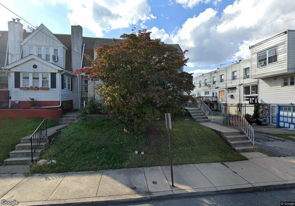
224 N Maple Ave Lansdowne, PA 19050
Estimated Value: $175,000 - $234,000
3
Beds
1
Bath
1,212
Sq Ft
$170/Sq Ft
Est. Value
About This Home
This home is located at 224 N Maple Ave, Lansdowne, PA 19050 and is currently estimated at $206,149, approximately $170 per square foot. 224 N Maple Ave is a home located in Delaware County with nearby schools including East Lansdowne Elementary School, Penn Wood Middle School, and Penn Wood High School - Cypress Street Campus.
Ownership History
Date
Name
Owned For
Owner Type
Purchase Details
Closed on
Oct 29, 2004
Sold by
Estate Of Margaret H Amwake
Bought by
Ricks Muse Christine
Current Estimated Value
Home Financials for this Owner
Home Financials are based on the most recent Mortgage that was taken out on this home.
Original Mortgage
$81,726
Outstanding Balance
$40,376
Interest Rate
5.63%
Mortgage Type
FHA
Estimated Equity
$165,773
Create a Home Valuation Report for This Property
The Home Valuation Report is an in-depth analysis detailing your home's value as well as a comparison with similar homes in the area
Home Values in the Area
Average Home Value in this Area
Purchase History
| Date | Buyer | Sale Price | Title Company |
|---|---|---|---|
| Ricks Muse Christine | $85,000 | -- |
Source: Public Records
Mortgage History
| Date | Status | Borrower | Loan Amount |
|---|---|---|---|
| Open | Ricks Muse Christine | $81,726 |
Source: Public Records
Tax History
| Year | Tax Paid | Tax Assessment Tax Assessment Total Assessment is a certain percentage of the fair market value that is determined by local assessors to be the total taxable value of land and additions on the property. | Land | Improvement |
|---|---|---|---|---|
| 2025 | $3,770 | $91,560 | $29,670 | $61,890 |
| 2024 | $3,770 | $91,560 | $29,670 | $61,890 |
| 2023 | $3,594 | $91,560 | $29,670 | $61,890 |
| 2022 | $3,524 | $91,560 | $29,670 | $61,890 |
| 2021 | $5,291 | $91,560 | $29,670 | $61,890 |
| 2020 | $3,520 | $53,680 | $18,060 | $35,620 |
| 2019 | $3,461 | $53,680 | $18,060 | $35,620 |
| 2018 | $3,402 | $53,680 | $0 | $0 |
| 2017 | $3,327 | $53,680 | $0 | $0 |
| 2016 | $295 | $53,680 | $0 | $0 |
| 2015 | $295 | $53,680 | $0 | $0 |
| 2014 | $295 | $53,680 | $0 | $0 |
Source: Public Records
Map
Nearby Homes
- 212 N Maple Ave
- 210 Wabash Ave
- 178 N Union Ave
- 217 E Greenwood Ave
- 291 N Wycombe Ave
- 0 Hirst Ave
- 113 A A000 N Union Ave
- 230 Wynnewood Ave
- 243 Coverly Rd
- 247 Coverly Rd
- 291 Jackson Ave
- 81 Hartley Rd
- 7273 Guilford Rd
- 86 Houston Rd
- 91 Lamport Rd
- 56 E Stewart Ave
- 7303 Sherbrook Blvd
- 147 Lexington Ave
- 7218 Radbourne Rd
- 360 Huntley Rd
- 222 N Maple Ave
- 220 N Maple Ave
- 218 N Maple Ave
- 176 E Essex Ave
- 180 E Essex Ave
- 182 E Essex Ave
- 216 N Maple Ave
- 178 E Essex Ave
- 172 E Essex Ave
- 214 N Maple Ave
- 223 Hansell Rd
- 170 E Essex Ave
- 221 Hansell Rd
- 219 Hansell Rd
- 217 Hansell Rd
- 166 E Essex Ave
- 215 Hansell Rd
- 164 E Essex Ave
- 188 E Essex Ave
- 190 E Essex Ave
Your Personal Tour Guide
Ask me questions while you tour the home.