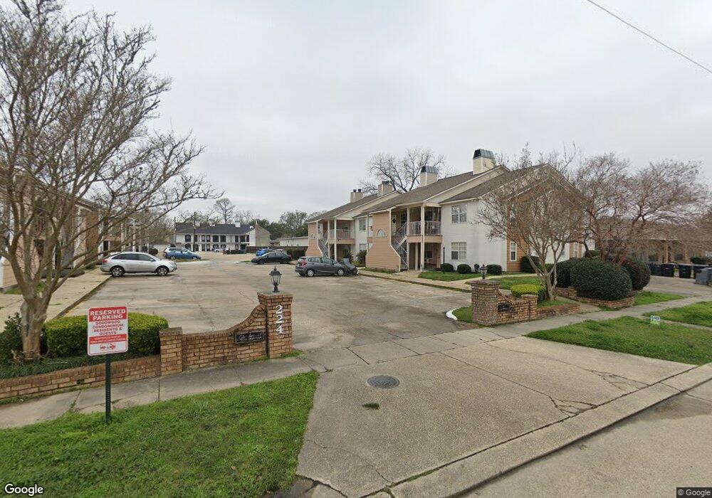
224 Ocean Dr Unit 111 Baton Rouge, LA 70806
Mid City South NeighborhoodEstimated Value: $79,819 - $126,000
2
Beds
2
Baths
1,160
Sq Ft
$81/Sq Ft
Est. Value
About This Home
This home is located at 224 Ocean Dr Unit 111, Baton Rouge, LA 70806 and is currently estimated at $93,955, approximately $80 per square foot. 224 Ocean Dr Unit 111 is a home located in East Baton Rouge Parish with nearby schools including LaSalle Elementary School, Westdale Middle School, and Tara High School.
Ownership History
Date
Name
Owned For
Owner Type
Purchase Details
Closed on
Nov 15, 2024
Sold by
All Star Properties Llc
Bought by
Jb Eatery Llc
Current Estimated Value
Purchase Details
Closed on
Jun 24, 2022
Sold by
First Horizon Bank
Bought by
Hale Cheryl Marie
Purchase Details
Closed on
Jul 28, 2005
Sold by
Teche Federal Bank
Bought by
Hale Cheryl M
Home Financials for this Owner
Home Financials are based on the most recent Mortgage that was taken out on this home.
Original Mortgage
$50,000
Interest Rate
5.51%
Mortgage Type
New Conventional
Purchase Details
Closed on
Jan 31, 2001
Sold by
Bess Nissing Nissing Theodore Joseph
Bought by
Scott Lassandra Michelle
Home Financials for this Owner
Home Financials are based on the most recent Mortgage that was taken out on this home.
Original Mortgage
$51,900
Interest Rate
8.5%
Mortgage Type
Purchase Money Mortgage
Create a Home Valuation Report for This Property
The Home Valuation Report is an in-depth analysis detailing your home's value as well as a comparison with similar homes in the area
Home Values in the Area
Average Home Value in this Area
Purchase History
| Date | Buyer | Sale Price | Title Company |
|---|---|---|---|
| Jb Eatery Llc | $735,000 | None Listed On Document | |
| Jb Eatery Llc | $735,000 | None Listed On Document | |
| Hale Cheryl Marie | -- | -- | |
| Hale Cheryl M | $50,000 | -- | |
| Scott Lassandra Michelle | $51,900 | -- |
Source: Public Records
Mortgage History
| Date | Status | Borrower | Loan Amount |
|---|---|---|---|
| Previous Owner | Hale Cheryl M | $50,000 | |
| Previous Owner | Scott Lassandra Michelle | $51,900 |
Source: Public Records
Tax History Compared to Growth
Tax History
| Year | Tax Paid | Tax Assessment Tax Assessment Total Assessment is a certain percentage of the fair market value that is determined by local assessors to be the total taxable value of land and additions on the property. | Land | Improvement |
|---|---|---|---|---|
| 2024 | $991 | $7,392 | $1,232 | $6,160 |
| 2023 | $991 | $6,600 | $1,100 | $5,500 |
| 2022 | $913 | $6,600 | $1,100 | $5,500 |
| 2021 | $770 | $6,600 | $1,100 | $5,500 |
| 2020 | $765 | $6,600 | $1,100 | $5,500 |
| 2019 | $727 | $6,000 | $1,000 | $5,000 |
| 2018 | $718 | $6,000 | $1,000 | $5,000 |
| 2017 | $718 | $6,000 | $1,000 | $5,000 |
| 2016 | $700 | $6,000 | $1,000 | $5,000 |
| 2015 | $700 | $6,000 | $1,000 | $5,000 |
| 2014 | $698 | $6,000 | $1,000 | $5,000 |
| 2013 | -- | $6,000 | $1,000 | $5,000 |
Source: Public Records
Map
Nearby Homes
- 224 Ocean Dr
- 224 Ocean Dr Unit 107
- 7131 Winthrop Ave
- 7203 Winthrop Ave
- 234 Croydon Ave
- 419 Croydon Ave
- 7037 Etage Ct
- 286 Kenwood Ave
- 6947 Government St
- 418 Kenwood Ave
- 7234 Goodleaf Way
- 637 Goodridge Way
- 208 Bellewood Dr
- Lot 43 Adelia Ln
- 340 Bellewood Dr
- 644 Monet Dr
- 716 Adelia Ln
- 723 Adelia Ln
- 771 Elderflower Alley W
- 6550-6568 Government St
- 224 Ocean Dr Unit 105
- 224 Ocean Dr Unit 110
- 224 Ocean Dr Unit 212
- 224 Ocean Dr Unit 214
- 224 Ocean Dr Unit 209
- 224 Ocean Dr Unit 207
- 224 Ocean Dr Unit 112
- 224 Ocean Dr Unit 201
- 224 Ocean Dr Unit 104
- 224 Ocean Dr
- 224 Ocean Dr Unit 114
- 224 Ocean Dr Unit 213
- 224 Ocean Dr Unit 211
- 224 Ocean Dr Unit 210
- 224 Ocean Dr Unit 208
- 224 Ocean Dr
- 224 Ocean Dr Unit 106
- 224 Ocean Dr
- 224 Ocean Dr Unit 204
- 224 Ocean Dr Unit 109