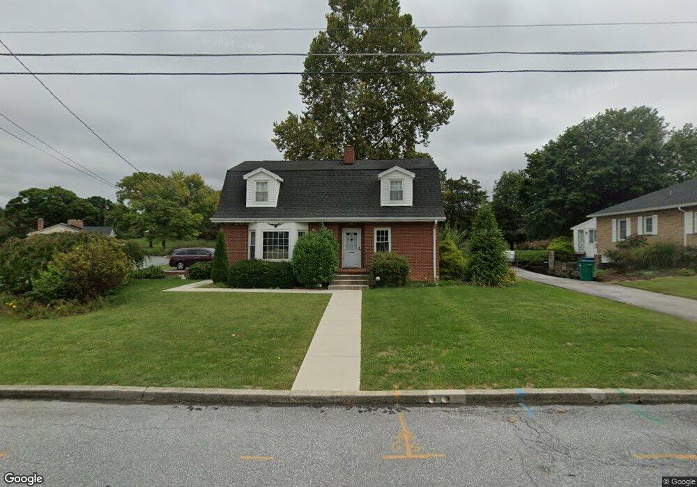
224 Orchard Cir Greencastle, PA 17225
Estimated Value: $322,000 - $333,000
--
Bed
1
Bath
2,128
Sq Ft
$154/Sq Ft
Est. Value
About This Home
This home is located at 224 Orchard Cir, Greencastle, PA 17225 and is currently estimated at $326,884, approximately $153 per square foot. 224 Orchard Cir is a home located in Franklin County with nearby schools including Greencastle-Antrim Primary School, Greencastle-Antrim Elementary School, and Greencastle-Antrim Middle School.
Ownership History
Date
Name
Owned For
Owner Type
Purchase Details
Closed on
Aug 5, 2020
Sold by
Hudson William J and Hudson Family Trust
Bought by
Thompson Peter J and Thompson Rachel F
Current Estimated Value
Home Financials for this Owner
Home Financials are based on the most recent Mortgage that was taken out on this home.
Original Mortgage
$166,000
Outstanding Balance
$147,526
Interest Rate
3.1%
Mortgage Type
New Conventional
Estimated Equity
$179,358
Purchase Details
Closed on
Oct 24, 2006
Sold by
Hudson William J
Bought by
Hudson William J and Hudson Family Trust
Create a Home Valuation Report for This Property
The Home Valuation Report is an in-depth analysis detailing your home's value as well as a comparison with similar homes in the area
Home Values in the Area
Average Home Value in this Area
Purchase History
| Date | Buyer | Sale Price | Title Company |
|---|---|---|---|
| Thompson Peter J | $226,000 | None Available | |
| Hudson William J | -- | None Available |
Source: Public Records
Mortgage History
| Date | Status | Borrower | Loan Amount |
|---|---|---|---|
| Open | Thompson Peter J | $166,000 |
Source: Public Records
Tax History Compared to Growth
Tax History
| Year | Tax Paid | Tax Assessment Tax Assessment Total Assessment is a certain percentage of the fair market value that is determined by local assessors to be the total taxable value of land and additions on the property. | Land | Improvement |
|---|---|---|---|---|
| 2025 | $3,468 | $20,230 | $1,950 | $18,280 |
| 2024 | $3,394 | $20,230 | $1,950 | $18,280 |
| 2023 | $3,358 | $20,230 | $1,950 | $18,280 |
| 2022 | $3,338 | $20,230 | $1,950 | $18,280 |
| 2021 | $3,279 | $20,230 | $1,950 | $18,280 |
| 2020 | $3,201 | $20,230 | $1,950 | $18,280 |
| 2019 | $3,175 | $20,230 | $1,950 | $18,280 |
| 2018 | $3,105 | $20,230 | $1,950 | $18,280 |
| 2017 | $3,014 | $20,230 | $1,950 | $18,280 |
| 2016 | $580 | $20,230 | $1,950 | $18,280 |
| 2015 | $540 | $20,230 | $1,950 | $18,280 |
| 2014 | $540 | $20,230 | $1,950 | $18,280 |
Source: Public Records
Map
Nearby Homes
- 239 Orchard Cir
- 271 E Baltimore St
- 129 E Franklin St
- 148 E Madison St
- 227 Tyrone St
- 231 N Allison St Unit 1
- 431 Leitersburg St
- 602 Brookview Dr
- 674 Lohman Ave
- 101 N Carlisle St
- 45 W Dahlgren St
- 148 N Carlisle St
- 34.77 Acres Red Oak Estate S
- 560 Meadowview Cir
- 480 S Carlisle St
- 341 W Baltimore St
- 823 Buchanan Trail E
- 12 Edward Dr
- 0 Edward Dr
- 260 Scarlet Cir