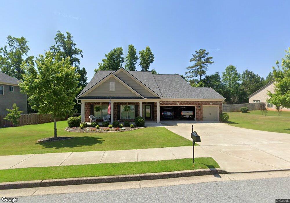
224 Parc Dr Canton, GA 30114
Sutallee NeighborhoodEstimated Value: $554,482 - $651,000
4
Beds
3
Baths
2,500
Sq Ft
$241/Sq Ft
Est. Value
About This Home
This home is located at 224 Parc Dr, Canton, GA 30114 and is currently estimated at $602,741, approximately $241 per square foot. 224 Parc Dr is a home located in Cherokee County with nearby schools including Sixes Elementary School, Freedom Middle School, and Woodstock High School.
Ownership History
Date
Name
Owned For
Owner Type
Purchase Details
Closed on
Oct 30, 2013
Sold by
The Ryland Grp Inc
Bought by
Wingo Charlie Thomas and Wingo Peggy S
Current Estimated Value
Create a Home Valuation Report for This Property
The Home Valuation Report is an in-depth analysis detailing your home's value as well as a comparison with similar homes in the area
Home Values in the Area
Average Home Value in this Area
Purchase History
| Date | Buyer | Sale Price | Title Company |
|---|---|---|---|
| Wingo Charlie Thomas | $266,664 | -- |
Source: Public Records
Tax History Compared to Growth
Tax History
| Year | Tax Paid | Tax Assessment Tax Assessment Total Assessment is a certain percentage of the fair market value that is determined by local assessors to be the total taxable value of land and additions on the property. | Land | Improvement |
|---|---|---|---|---|
| 2025 | $1,156 | $220,840 | $50,000 | $170,840 |
| 2024 | $1,363 | $213,960 | $50,000 | $163,960 |
| 2023 | $936 | $197,760 | $48,000 | $149,760 |
| 2022 | $1,001 | $160,840 | $32,000 | $128,840 |
| 2021 | $1,038 | $148,840 | $29,520 | $119,320 |
| 2020 | $992 | $135,400 | $26,600 | $108,800 |
| 2019 | $949 | $123,840 | $23,200 | $100,640 |
| 2018 | $948 | $119,320 | $23,200 | $96,120 |
| 2017 | $966 | $294,700 | $23,200 | $94,680 |
| 2016 | $975 | $281,000 | $17,480 | $94,920 |
| 2015 | $975 | $262,300 | $17,480 | $87,440 |
| 2014 | $2,882 | $244,600 | $17,480 | $80,360 |
Source: Public Records
Map
Nearby Homes
- 238 Parc Dr
- 211 Parc Dr
- 109 Hale View Cir
- 552 Steels Bridge Rd
- 331 Laurel Glen Crossing
- 265 Parc Dr
- 3008 Heatherbrook Trace Unit 2B
- 3021 Heatherbrook Trace
- Jasper II Plan at Cambridge at Steels Bridge
- Newton II Plan at Cambridge at Steels Bridge
- Fulton II Plan at Cambridge at Steels Bridge
- Brookwood Plan at Cambridge at Steels Bridge
- Tifton II Plan at Cambridge at Steels Bridge
- 160 Henley St Unit 15
- 160 Henley St
- 3018 Heatherbrook Trace
- 164 Henley St
- 8014 Bells Ferry Rd
- 204 Wildwood Way
- 226 Parc Dr
- 220 Parc Dr
- 146 Hale View Cir
- 148 Hale View Cir
- 144 Hale View Cir
- 228 Parc Dr
- 227 Parc Dr
- 225 Parc Dr
- 229 Parc Dr
- 156 Hale View Cir
- 142 Hale View Cir
- 142 Hale View Cir
- 0 Hale View Cir Unit 8538526
- 0 Hale View Cir Unit 8460652
- 0 Hale View Cir Unit 8472440
- 0 Hale View Cir Unit 8250132
- 0 Hale View Cir Unit 7465880
- 0 Hale View Cir Unit 9025435
- 0 Hale View Cir Unit 7015066
- 0 Hale View Cir Unit 7176035