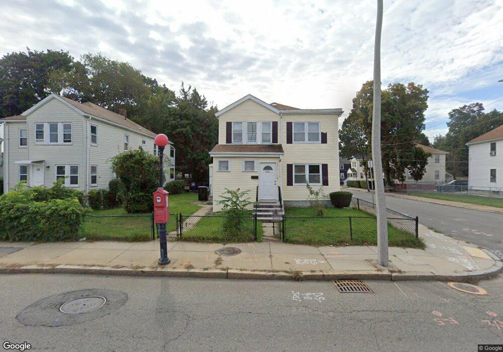
224 River St Unit 226 Mattapan, MA 02126
Southern Mattapan NeighborhoodEstimated Value: $754,792 - $836,000
4
Beds
2
Baths
2,304
Sq Ft
$346/Sq Ft
Est. Value
About This Home
This home is located at 224 River St Unit 226, Mattapan, MA 02126 and is currently estimated at $796,948, approximately $345 per square foot. 224 River St Unit 226 is a home located in Suffolk County with nearby schools including KIPP Academy Boston Charter School, Conservatory Lab Upper School, and Saint John Paul II Catholic Academy.
Ownership History
Date
Name
Owned For
Owner Type
Purchase Details
Closed on
Jul 5, 2024
Sold by
Raphael Marie R
Bought by
Mr Raphael Irt and Dixon
Current Estimated Value
Purchase Details
Closed on
Mar 15, 2010
Sold by
Raphael Marie R and Dixon Darline
Bought by
Raphael Marie R
Create a Home Valuation Report for This Property
The Home Valuation Report is an in-depth analysis detailing your home's value as well as a comparison with similar homes in the area
Home Values in the Area
Average Home Value in this Area
Purchase History
| Date | Buyer | Sale Price | Title Company |
|---|---|---|---|
| Mr Raphael Irt | -- | None Available | |
| Mr Raphael Irt | -- | None Available | |
| Raphael Marie R | -- | -- | |
| Raphael Marie R | -- | -- |
Source: Public Records
Mortgage History
| Date | Status | Borrower | Loan Amount |
|---|---|---|---|
| Previous Owner | Raphael Marie R | $146,550 | |
| Previous Owner | Raphael Marie R | $145,969 | |
| Previous Owner | Raphael Marie R | $129,000 | |
| Previous Owner | Raphael Marie R | $130,500 |
Source: Public Records
Tax History Compared to Growth
Tax History
| Year | Tax Paid | Tax Assessment Tax Assessment Total Assessment is a certain percentage of the fair market value that is determined by local assessors to be the total taxable value of land and additions on the property. | Land | Improvement |
|---|---|---|---|---|
| 2025 | $7,181 | $620,100 | $183,700 | $436,400 |
| 2024 | $6,042 | $554,300 | $163,800 | $390,500 |
| 2023 | $5,512 | $513,200 | $151,700 | $361,500 |
| 2022 | $5,584 | $513,200 | $151,700 | $361,500 |
| 2021 | $5,165 | $484,100 | $143,100 | $341,000 |
| 2020 | $4,313 | $408,400 | $125,100 | $283,300 |
| 2019 | $3,842 | $364,500 | $94,600 | $269,900 |
| 2018 | $3,603 | $343,800 | $94,600 | $249,200 |
| 2017 | $3,500 | $330,500 | $94,600 | $235,900 |
| 2016 | $3,398 | $308,900 | $94,600 | $214,300 |
| 2015 | $3,419 | $282,300 | $106,900 | $175,400 |
| 2014 | $3,170 | $252,000 | $106,900 | $145,100 |
Source: Public Records
Map
Nearby Homes
- 67 Idaho St
- 333 Eliot St
- 10 Briarcliff Terrace
- 131 Eliot St Unit 312
- 131 Eliot St Unit 408
- 131 Eliot St Unit 305
- 23 Maryknoll St
- 15 Cantwell Rd
- 4 School St
- 8-14R Temple St
- 32-32R Temple St
- 24 Constitution Rd
- 30 Glenhill Rd
- 32 Columbine Rd
- 32 Violet St
- 36 Oakridge St
- 11 French St
- 4 Crossman St Unit 4
- 30 Pleasant Hill Ave Unit 32
- 157 Delhi St
- 222 River St Unit 222A
- 4 Duxbury Rd
- 4 Duxbury Rd Unit 1
- 232 River St
- 220 River St
- 6 Duxbury Rd
- 5 Desmond Rd
- 236 River St
- 3 Duxbury Rd
- 216 River St Unit 218
- 5 Duxbury Rd
- 9 Desmond Rd
- 8 Duxbury Rd
- 2 Meadowbank Ave
- 7 Duxbury Rd
- 240 River St
- 240 River St Unit 1
- 240 River St Unit R
- 240 River St Unit L
- 15 Desmond Rd