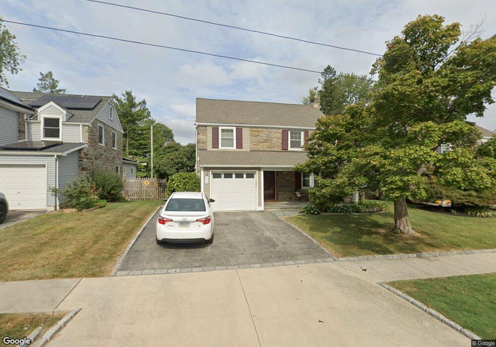
224 Rodney Cir Bryn Mawr, PA 19010
Estimated Value: $458,000 - $624,000
3
Beds
1
Bath
1,864
Sq Ft
$303/Sq Ft
Est. Value
About This Home
This home is located at 224 Rodney Cir, Bryn Mawr, PA 19010 and is currently estimated at $563,986, approximately $302 per square foot. 224 Rodney Cir is a home located in Delaware County with nearby schools including Coopertown Elementary School, Haverford Middle School, and Haverford Senior High School.
Ownership History
Date
Name
Owned For
Owner Type
Purchase Details
Closed on
Feb 4, 2021
Sold by
Reardon Charles
Bought by
Reardon Thomas
Current Estimated Value
Home Financials for this Owner
Home Financials are based on the most recent Mortgage that was taken out on this home.
Original Mortgage
$240,000
Outstanding Balance
$214,654
Interest Rate
2.7%
Mortgage Type
New Conventional
Estimated Equity
$349,332
Purchase Details
Closed on
Dec 1, 2014
Sold by
Adams Herbert Daniel
Bought by
Reardon Charles
Create a Home Valuation Report for This Property
The Home Valuation Report is an in-depth analysis detailing your home's value as well as a comparison with similar homes in the area
Home Values in the Area
Average Home Value in this Area
Purchase History
| Date | Buyer | Sale Price | Title Company |
|---|---|---|---|
| Reardon Thomas | $300,000 | Settlement Engine | |
| Reardon Charles | $300,000 | None Available |
Source: Public Records
Mortgage History
| Date | Status | Borrower | Loan Amount |
|---|---|---|---|
| Open | Reardon Thomas | $240,000 |
Source: Public Records
Tax History Compared to Growth
Tax History
| Year | Tax Paid | Tax Assessment Tax Assessment Total Assessment is a certain percentage of the fair market value that is determined by local assessors to be the total taxable value of land and additions on the property. | Land | Improvement |
|---|---|---|---|---|
| 2025 | $10,018 | $389,630 | $128,520 | $261,110 |
| 2024 | $10,018 | $389,630 | $128,520 | $261,110 |
| 2023 | $9,734 | $389,630 | $128,520 | $261,110 |
| 2022 | $9,506 | $389,630 | $128,520 | $261,110 |
| 2021 | $15,487 | $389,630 | $128,520 | $261,110 |
| 2020 | $7,281 | $156,650 | $65,510 | $91,140 |
| 2019 | $7,147 | $156,650 | $65,510 | $91,140 |
| 2018 | $7,024 | $156,650 | $0 | $0 |
| 2017 | $6,875 | $156,650 | $0 | $0 |
| 2016 | $877 | $156,650 | $0 | $0 |
| 2015 | $877 | $156,650 | $0 | $0 |
| 2014 | $860 | $156,650 | $0 | $0 |
Source: Public Records
Map
Nearby Homes
- 258 Lee Cir
- 145 Landover Rd
- 128 Clemson Rd
- 741 County Line Rd
- 732 Buck Ln
- 815 Penn St
- 27 S Merion Ave
- 50 Prospect Ave
- 28 S Warner Ave
- 390 S Bryn Mawr Ave
- 922 Montgomery Ave Unit B2
- 14 Westview Rd
- 601 Montgomery Ave Unit 204
- 530 New Gulph Rd
- 62 Parkridge Dr Unit 62
- 133 Quaker Ln
- 1030 E Lancaster Ave Unit 216
- 1030 E Lancaster Ave Unit 702
- 1030 E Lancaster Ave Unit 923
- 67 Parkridge Dr