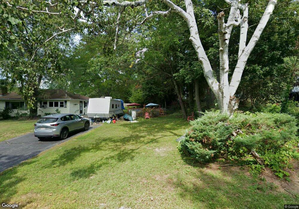
224 Rolling Acres Rd Lunenburg, MA 01462
Estimated Value: $460,000 - $551,000
2
Beds
1
Bath
1,400
Sq Ft
$352/Sq Ft
Est. Value
About This Home
This home is located at 224 Rolling Acres Rd, Lunenburg, MA 01462 and is currently estimated at $493,239, approximately $352 per square foot. 224 Rolling Acres Rd is a home located in Worcester County with nearby schools including Lunenburg Primary School and Lunenburg High School.
Ownership History
Date
Name
Owned For
Owner Type
Purchase Details
Closed on
Jul 31, 1992
Sold by
French Edith E and Baker Florence
Bought by
Wallach Daniel and Wallach Sandra
Current Estimated Value
Purchase Details
Closed on
Aug 30, 1988
Sold by
Reichard George
Bought by
French E D
Create a Home Valuation Report for This Property
The Home Valuation Report is an in-depth analysis detailing your home's value as well as a comparison with similar homes in the area
Home Values in the Area
Average Home Value in this Area
Purchase History
| Date | Buyer | Sale Price | Title Company |
|---|---|---|---|
| Wallach Daniel | $131,500 | -- | |
| French E D | $162,000 | -- |
Source: Public Records
Mortgage History
| Date | Status | Borrower | Loan Amount |
|---|---|---|---|
| Closed | French E D | $86,475 | |
| Closed | French E D | $94,000 | |
| Closed | French E D | $40,000 |
Source: Public Records
Tax History Compared to Growth
Tax History
| Year | Tax Paid | Tax Assessment Tax Assessment Total Assessment is a certain percentage of the fair market value that is determined by local assessors to be the total taxable value of land and additions on the property. | Land | Improvement |
|---|---|---|---|---|
| 2025 | $5,878 | $409,300 | $125,900 | $283,400 |
| 2024 | $5,500 | $390,100 | $118,700 | $271,400 |
| 2023 | $5,415 | $370,400 | $107,900 | $262,500 |
| 2022 | $5,135 | $298,700 | $90,000 | $208,700 |
| 2020 | $4,891 | $269,900 | $89,800 | $180,100 |
| 2019 | $4,674 | $250,200 | $84,600 | $165,600 |
| 2018 | $4,239 | $215,200 | $84,600 | $130,600 |
| 2017 | $4,146 | $207,500 | $77,700 | $129,800 |
| 2016 | $3,914 | $199,600 | $73,900 | $125,700 |
| 2015 | $3,561 | $194,400 | $70,100 | $124,300 |
Source: Public Records
Map
Nearby Homes
- 35 Leominster Rd
- 31 School St
- 9 Fairview Rd
- 29 West St
- 330 Arbor St
- 44 Hemlock Dr
- 6 Riley Rd Unit 6
- 185 Hemlock Dr
- 63 Holman St
- 711 Massachusetts Ave Unit 2
- 319 Highland St
- 110 Burrage St
- 130 Gilchrest St
- 372 Townsend Harbor Rd
- 200-365 Hollis Rd
- 91 Valley Rd
- 166 Elmwood Rd
- 1790 Massachusetts Ave Unit 25
- 1790 Massachusetts Ave Unit 22
- 452 Hollis Rd
- 43 Meadow Ln
- 214 Rolling Acres Rd
- 35 Meadow Ln
- 213 Rolling Acres Rd
- 219 Rolling Acres Rd
- 42 Meadow Ln
- 207 Rolling Acres Rd
- 204 Rolling Acres Rd
- 180 Rolling Acres Rd
- 29 Meadow Ln
- 172 Rolling Acres Rd
- 164 Rolling Acres Rd
- 34 Meadow Ln
- 201 Rolling Acres Rd
- 158 Rolling Acres Rd
- 21 Meadow Ln
- 152 Rolling Acres Rd
- 24 Meadow Ln
- 181 Rolling Acres Rd
- 173 Rolling Acres Rd