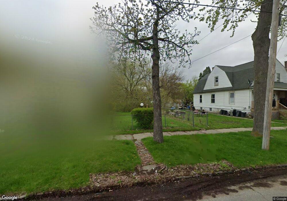
224 S 10th St Saginaw, MI 48601
Houghton Jones NeighborhoodEstimated Value: $60,000
--
Bed
1
Bath
1,727
Sq Ft
$35/Sq Ft
Est. Value
About This Home
This home is located at 224 S 10th St, Saginaw, MI 48601 and is currently estimated at $60,000, approximately $34 per square foot. 224 S 10th St is a home located in Saginaw County with nearby schools including Thompson Middle School, Saginaw United High School, and Saginaw Learn To Earn Academy.
Ownership History
Date
Name
Owned For
Owner Type
Purchase Details
Closed on
Nov 5, 2013
Sold by
Saginaw County Treasurer
Bought by
Saginaw County Land Bank Authority
Current Estimated Value
Purchase Details
Closed on
Apr 18, 2008
Sold by
Worthington Reno
Bought by
Worthington Reno and Erwin Sharawn
Purchase Details
Closed on
Feb 7, 2007
Sold by
Juarez Veronica G
Bought by
Worthington Reno
Purchase Details
Closed on
Apr 30, 1998
Sold by
Prenzler Arthur
Bought by
Worthington Reno
Purchase Details
Closed on
Apr 1, 1998
Sold by
Prenzler Arthur
Bought by
Juarez Veronica G
Purchase Details
Closed on
Apr 20, 1990
Sold by
Moore Patrick Henry and Dorothy Jean
Bought by
Prenzler Arthur
Create a Home Valuation Report for This Property
The Home Valuation Report is an in-depth analysis detailing your home's value as well as a comparison with similar homes in the area
Home Values in the Area
Average Home Value in this Area
Purchase History
| Date | Buyer | Sale Price | Title Company |
|---|---|---|---|
| Saginaw County Land Bank Authority | $1,578 | -- | |
| Worthington Reno | -- | -- | |
| Worthington Reno | -- | -- | |
| Worthington Reno | -- | -- | |
| Juarez Veronica G | -- | -- | |
| Prenzler Arthur | $3,600 | -- |
Source: Public Records
Tax History Compared to Growth
Tax History
| Year | Tax Paid | Tax Assessment Tax Assessment Total Assessment is a certain percentage of the fair market value that is determined by local assessors to be the total taxable value of land and additions on the property. | Land | Improvement |
|---|---|---|---|---|
| 2025 | -- | $0 | $0 | $0 |
| 2024 | -- | $0 | $0 | $0 |
| 2023 | -- | $0 | $0 | $0 |
| 2022 | $0 | $0 | $0 | $0 |
| 2021 | $0 | $0 | $0 | $0 |
| 2020 | $0 | $0 | $0 | $0 |
| 2019 | $0 | $0 | $0 | $0 |
| 2018 | $0 | $0 | $0 | $0 |
| 2017 | $0 | $0 | $0 | $0 |
| 2016 | -- | $0 | $0 | $0 |
| 2014 | -- | $0 | $0 | $0 |
| 2013 | -- | $2,523 | $0 | $0 |
Source: Public Records
Map
Nearby Homes
- 213 S 12th St
- 346 S 7th St
- 441 S 11th St
- 924 Federal Ave
- 524 S 14th St
- 514 N 8th St
- 1103,1107,1111,1115 S Park Ave
- 550 S Weadock Ave
- 915 Burt St
- 1919 Perkins St
- 1346 Carlisle St
- 3361 Burt St
- 1610 E Genesee Ave
- 515 Thompson St
- 631 Cathay St
- 2420 Bancroft St
- 912 Howard St
- 2143 Whittier St
- 3 Harmony Ct
- 2009 E Holland Rd