224 S Henderson St Fowler, MI 48835
Estimated Value: $323,000 - $469,000
4
Beds
3
Baths
3,240
Sq Ft
$119/Sq Ft
Est. Value
About This Home
This home is located at 224 S Henderson St, Fowler, MI 48835 and is currently estimated at $385,959, approximately $119 per square foot. 224 S Henderson St is a home located in Clinton County with nearby schools including Waldron Elementary/Middle School, Fowler High School, and Most Holy Trinity School.
Ownership History
Date
Name
Owned For
Owner Type
Purchase Details
Closed on
Jul 20, 2009
Sold by
Simon Janet E
Bought by
Epkey Aaron L and Epkey Brenda L
Current Estimated Value
Home Financials for this Owner
Home Financials are based on the most recent Mortgage that was taken out on this home.
Original Mortgage
$169,890
Outstanding Balance
$111,555
Interest Rate
5.43%
Mortgage Type
Purchase Money Mortgage
Estimated Equity
$274,404
Create a Home Valuation Report for This Property
The Home Valuation Report is an in-depth analysis detailing your home's value as well as a comparison with similar homes in the area
Home Values in the Area
Average Home Value in this Area
Purchase History
| Date | Buyer | Sale Price | Title Company |
|---|---|---|---|
| Epkey Aaron L | $185,000 | None Available |
Source: Public Records
Mortgage History
| Date | Status | Borrower | Loan Amount |
|---|---|---|---|
| Open | Epkey Aaron L | $169,890 |
Source: Public Records
Tax History Compared to Growth
Tax History
| Year | Tax Paid | Tax Assessment Tax Assessment Total Assessment is a certain percentage of the fair market value that is determined by local assessors to be the total taxable value of land and additions on the property. | Land | Improvement |
|---|---|---|---|---|
| 2025 | $3,276 | $172,100 | $47,600 | $124,500 |
| 2024 | $2,327 | $164,200 | $38,500 | $125,700 |
| 2023 | $2,209 | $147,200 | $0 | $0 |
| 2022 | $3,838 | $136,700 | $31,300 | $105,400 |
| 2021 | $3,741 | $127,900 | $30,200 | $97,700 |
| 2020 | $3,632 | $115,600 | $23,000 | $92,600 |
| 2019 | $3,082 | $110,200 | $19,600 | $90,600 |
| 2018 | $2,258 | $100,400 | $18,900 | $81,500 |
| 2017 | -- | $97,800 | $20,000 | $77,800 |
| 2016 | $2,872 | $93,800 | $20,000 | $73,800 |
| 2015 | -- | $94,800 | $0 | $0 |
| 2011 | -- | $105,800 | $0 | $0 |
Source: Public Records
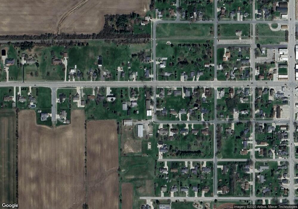
Map
Nearby Homes
- 11138 W 2nd St
- 11255 W Wayne St
- V/L W M21
- 11040 W Ionia St
- 10911 E Kent St
- Lot 8 N Wright Rd
- 982 Norway Dr
- 154 S Yates St
- 0 Yates St
- 9515 W Moss Rd
- 11670 Jessup Rd
- 5550 Paxton Rd
- 0 W Colony Unit 286993
- 0 W Colony Unit 292916
- 7240 Empire Rd
- 8150 Idared Rd
- 7757 N Forest Hill Rd
- 8095 Mcintosh Rd
- 209 W Adelaide St
- 6928 Hubbardston Rd