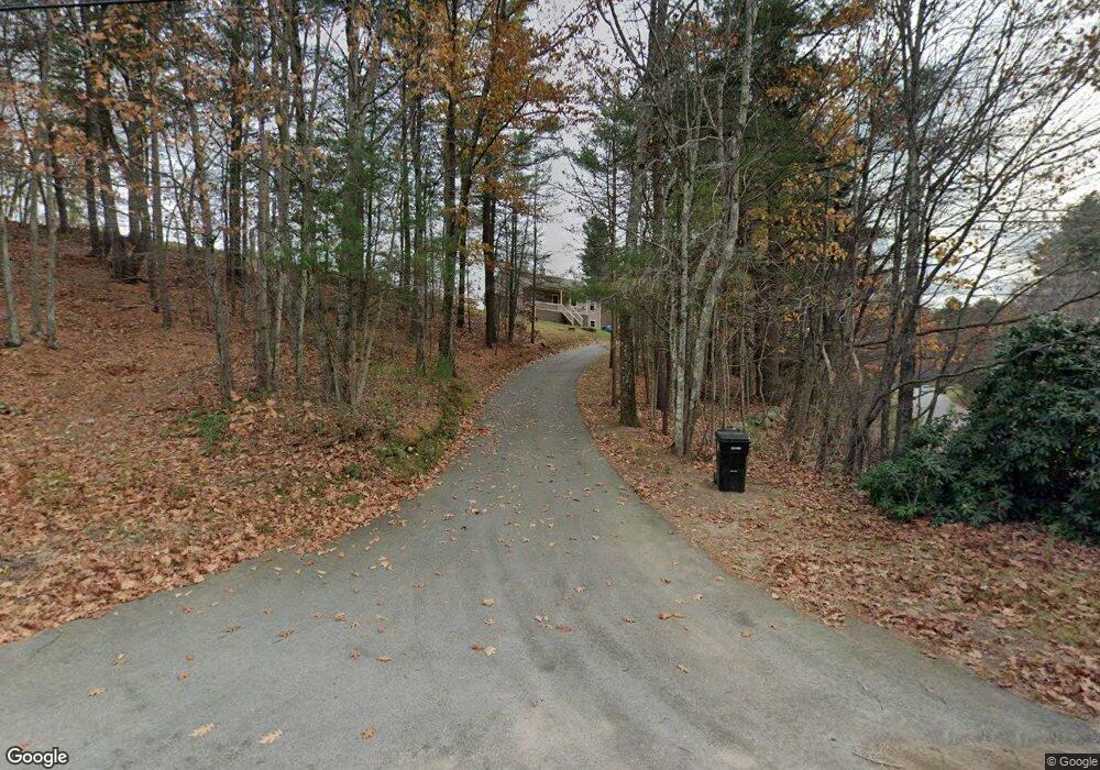
224 Stafford St Charlton, MA 01507
Estimated Value: $367,000 - $411,000
3
Beds
1
Bath
1,092
Sq Ft
$361/Sq Ft
Est. Value
About This Home
This home is located at 224 Stafford St, Charlton, MA 01507 and is currently estimated at $394,087, approximately $360 per square foot. 224 Stafford St is a home located in Worcester County with nearby schools including Shepherd Hill Regional High School.
Ownership History
Date
Name
Owned For
Owner Type
Purchase Details
Closed on
Sep 14, 1995
Sold by
Cook John L and Cook Gretchen
Bought by
Taylor John A and Taylor Beth
Current Estimated Value
Create a Home Valuation Report for This Property
The Home Valuation Report is an in-depth analysis detailing your home's value as well as a comparison with similar homes in the area
Home Values in the Area
Average Home Value in this Area
Purchase History
| Date | Buyer | Sale Price | Title Company |
|---|---|---|---|
| Taylor John A | $1,250 | -- | |
| Taylor John A | $1,250 | -- |
Source: Public Records
Mortgage History
| Date | Status | Borrower | Loan Amount |
|---|---|---|---|
| Previous Owner | Taylor John A | $84,500 |
Source: Public Records
Tax History Compared to Growth
Tax History
| Year | Tax Paid | Tax Assessment Tax Assessment Total Assessment is a certain percentage of the fair market value that is determined by local assessors to be the total taxable value of land and additions on the property. | Land | Improvement |
|---|---|---|---|---|
| 2025 | $3,796 | $341,100 | $83,100 | $258,000 |
| 2024 | $3,647 | $321,600 | $80,000 | $241,600 |
| 2023 | $3,589 | $294,900 | $76,400 | $218,500 |
| 2022 | $3,507 | $263,900 | $75,000 | $188,900 |
| 2021 | $3,571 | $237,900 | $73,200 | $164,700 |
| 2020 | $3,465 | $231,900 | $67,200 | $164,700 |
| 2019 | $3,425 | $231,900 | $67,200 | $164,700 |
| 2018 | $3,131 | $231,900 | $67,200 | $164,700 |
| 2017 | $3,037 | $215,400 | $61,200 | $154,200 |
| 2016 | $2,948 | $213,900 | $61,200 | $152,700 |
| 2015 | $2,871 | $213,900 | $61,200 | $152,700 |
| 2014 | $2,743 | $216,700 | $65,500 | $151,200 |
Source: Public Records
Map
Nearby Homes
- 7 Little Muggett Rd
- 199 Center Depot Rd
- 9 Knollwood Dr
- 40 Carroll Hill Rd
- 105 Carroll Hill Rd
- 8 Northside Rd
- 7 Hycrest Rd
- 65 Old Spencer Rd
- 8 Hycrest Rd
- 102 Worcester Rd
- 25 N Main St Unit A
- 38 Stevens Park Rd
- 208 Sunset Dr
- 0 Trolley Crossing Rd
- 18 Old Worcester Rd
- 1 Deer Run
- 7 L Stevens Rd Unit A
- 7 L Stevens Rd Unit B
- 68 Borkum Rd
- 13 Boucher Dr
- 230 Stafford St
- Lot 2 Timber Valley Dr
- 1 Timber Valley Dr
- 223 Stafford St
- 0 Timber Valley Dr Unit 71175584
- 0 Timber Valley Dr Unit 71146808
- 0 Timber Valley Dr Unit 71172112
- 0 Timber Valley Dr
- 3 Timber Valley Dr
- 4 Timber Heights
- 232 Stafford St
- 204 Stafford St
- 231 Stafford St
- 6 Timber Heights
- 5 Timber Valley Dr
- 14 Timber Valley Dr
- 234 Stafford St
- 200 Stafford St
- 8 Timber Heights
- 9 Cook Cir