Estimated Value: $271,000 - $336,000
4
Beds
2
Baths
960
Sq Ft
$315/Sq Ft
Est. Value
About This Home
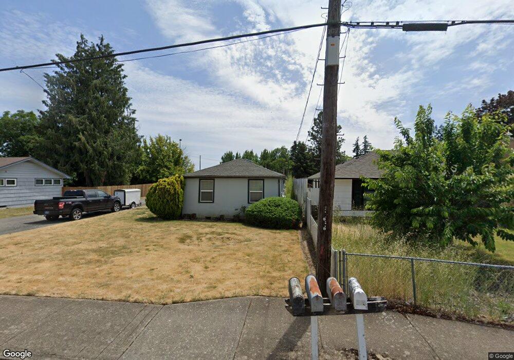
This home is located at 224 Stark St N Unit 226, Salem, OR 97303 and is currently estimated at $302,754, approximately $315 per square foot. 224 Stark St N Unit 226 is a home located in Marion County with nearby schools including Cummings Elementary School, Claggett Creek Middle School, and McNary High School.
Ownership History
Date
Name
Owned For
Owner Type
Purchase Details
Closed on
Jun 21, 2021
Sold by
Lapray Jon Edward
Bought by
Jmmj Llc
Current Estimated Value
Purchase Details
Closed on
Jan 17, 2012
Sold by
Lapray Anne Elizabeth
Bought by
Lapray Jon Edward
Purchase Details
Closed on
Apr 18, 2001
Sold by
Hall Gregory D and Hall Lisa R
Bought by
Lapray Jon E and Lapray Anne E
Home Financials for this Owner
Home Financials are based on the most recent Mortgage that was taken out on this home.
Original Mortgage
$84,900
Interest Rate
6.98%
Mortgage Type
Purchase Money Mortgage
Purchase Details
Closed on
Dec 6, 1996
Sold by
Myers Raymond S and Myers Carol P
Bought by
Shattuck Steven W
Create a Home Valuation Report for This Property
The Home Valuation Report is an in-depth analysis detailing your home's value as well as a comparison with similar homes in the area
Home Values in the Area
Average Home Value in this Area
Purchase History
| Date | Buyer | Sale Price | Title Company |
|---|---|---|---|
| Jmmj Llc | $161,000 | Accommodation | |
| Jmmj Llc | $161,000 | Fidelity National Title | |
| Lapray Jon Edward | -- | Fatco | |
| Lapray Jon E | $84,950 | Accommodation | |
| Lapray Jon E | $84,950 | -- | |
| Shattuck Steven W | -- | Amerititle |
Source: Public Records
Mortgage History
| Date | Status | Borrower | Loan Amount |
|---|---|---|---|
| Previous Owner | Lapray Jon E | $84,900 |
Source: Public Records
Tax History Compared to Growth
Tax History
| Year | Tax Paid | Tax Assessment Tax Assessment Total Assessment is a certain percentage of the fair market value that is determined by local assessors to be the total taxable value of land and additions on the property. | Land | Improvement |
|---|---|---|---|---|
| 2025 | $2,314 | $121,400 | -- | -- |
| 2024 | $2,314 | $117,870 | -- | -- |
| 2023 | $2,246 | $114,440 | $0 | $0 |
| 2022 | $2,118 | $111,110 | $0 | $0 |
| 2021 | $2,057 | $107,880 | $0 | $0 |
| 2020 | $2,059 | $104,740 | $0 | $0 |
| 2019 | $1,987 | $101,690 | $0 | $0 |
| 2018 | $1,961 | $0 | $0 | $0 |
| 2017 | $1,770 | $0 | $0 | $0 |
| 2016 | $1,686 | $0 | $0 | $0 |
| 2015 | $1,699 | $0 | $0 | $0 |
| 2014 | $1,644 | $0 | $0 | $0 |
Source: Public Records
Map
Nearby Homes
- 220 Gardenia Dr N Unit 222
- 3297 River Rd N
- 359 Apple Blossom Ave N
- 567 Bliler Ave NE
- 500 Bever Dr NE
- 3796 Hart Dr N
- 675 Johnson St NE
- 1001 Ring St NE Unit 1007
- 2635 5th St NE
- 1009 Ring St NE Unit 1015
- 132 Sunset Ave N Unit 168
- 3774 Homestead Ct NE
- 211 Sunset Ave N
- 530 Larry Ave N
- 1377 Krysti Ct NE
- 3515 Brooks Ave NE
- 2397 Hazel Ave NE
- 3515 Brooks Ave NE
- 2233 Maple Ave SE
- 1202 Leo St NE
- 244 Stark St N
- 184 Stark St N
- 284 Stark St N
- 144 Stark St N
- 243 Delmar Dr N
- 225 Stark St N
- 324 Stark St N
- 185 Stark St N
- 275 Stark St N
- 155 Stark St N
- 3185 River Rd N
- 323 Delmar Dr N
- 344 Stark St N
- 125 Stark St N
- 354 Stark St N
- 280 Gardenia Dr N
- 270 Gardenia Dr N
- 355 Stark St N
- 290 Gardenia Dr N
- 343 Delmar Dr N