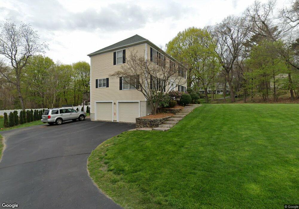
224 Stonebridge Rd Wayland, MA 01778
Estimated Value: $940,000 - $1,117,000
4
Beds
3
Baths
2,184
Sq Ft
$475/Sq Ft
Est. Value
About This Home
This home is located at 224 Stonebridge Rd, Wayland, MA 01778 and is currently estimated at $1,036,915, approximately $474 per square foot. 224 Stonebridge Rd is a home located in Middlesex County with nearby schools including Wayland High School and MetroWest Jewish Day School.
Ownership History
Date
Name
Owned For
Owner Type
Purchase Details
Closed on
Dec 17, 2024
Sold by
Nee Thomas H and Young Eileen A
Bought by
Nee-Young Ft and Nee
Current Estimated Value
Create a Home Valuation Report for This Property
The Home Valuation Report is an in-depth analysis detailing your home's value as well as a comparison with similar homes in the area
Home Values in the Area
Average Home Value in this Area
Purchase History
| Date | Buyer | Sale Price | Title Company |
|---|---|---|---|
| Nee-Young Ft | -- | None Available | |
| Nee-Young Ft | -- | None Available | |
| Nee-Young Ft | -- | None Available |
Source: Public Records
Tax History Compared to Growth
Tax History
| Year | Tax Paid | Tax Assessment Tax Assessment Total Assessment is a certain percentage of the fair market value that is determined by local assessors to be the total taxable value of land and additions on the property. | Land | Improvement |
|---|---|---|---|---|
| 2025 | $150 | $956,500 | $479,700 | $476,800 |
| 2024 | $14,157 | $912,200 | $456,800 | $455,400 |
| 2023 | $13,308 | $799,300 | $415,200 | $384,100 |
| 2022 | $12,880 | $701,900 | $343,900 | $358,000 |
| 2021 | $12,420 | $670,600 | $312,600 | $358,000 |
| 2020 | $11,910 | $670,600 | $312,600 | $358,000 |
| 2019 | $11,509 | $629,600 | $297,700 | $331,900 |
| 2018 | $10,969 | $608,400 | $297,700 | $310,700 |
| 2017 | $10,605 | $584,600 | $283,500 | $301,100 |
| 2016 | $9,828 | $566,800 | $277,800 | $289,000 |
| 2015 | $10,024 | $545,100 | $277,800 | $267,300 |
Source: Public Records
Map
Nearby Homes
- 63 Landham Rd
- 29 Derby St
- 0 Wagonwheel Rd
- 154 Danforth St
- 353 Old Connecticut Path
- 454 Old Connecticut Path
- 24 Pinewood Dr
- 8 Clara Rd
- 81 Nicholas Rd Unit B
- 71 Nicholas Rd Unit H
- 8 Elm St Unit 8A
- 30 Edith Rd
- 11 Danforth Park Rd
- 19 Park Ave
- 84 Hopestill Brown Rd
- 96 Lakeshore Dr
- 96 Lake Shore Dr
- 14 Francine Rd
- 163 Water St
- 22 Lakeshore Dr
- 226 Stonebridge Rd
- 222 Stonebridge Rd
- 222 Stonebridge Rd
- 0 Old Stonebridge Rd Unit 50384318
- 2 Lot 2 Old Stonebridge
- 1 Lot 1 Old Stonebridge
- 223 Old Stonebridge Rd
- 216 Stonebridge Rd
- 221 Stonebridge Rd
- 217 Old Stonebridge Rd
- 223 Stonebridge Rd
- 221 Old Stonebridge Rd
- 217 Stonebridge Rd
- 212 Stonebridge Rd
- 227 Stonebridge Rd
- 234 Stonebridge Rd
- 215 Stonebridge Rd
- 233 Stonebridge Rd
- 206 Stonebridge Rd
- 242 Old Stonebridge Rd