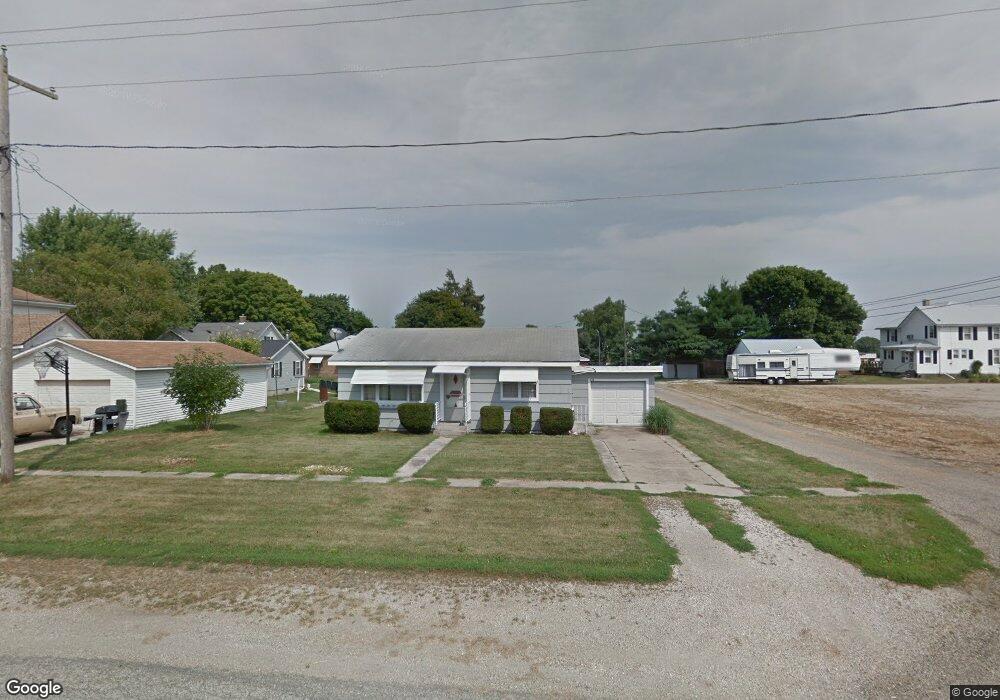
224 W Atkinson St Sheffield, IL 61361
Estimated Value: $47,656 - $104,000
Studio
--
Bath
--
Sq Ft
4,095
Sq Ft Lot
About This Home
This home is located at 224 W Atkinson St, Sheffield, IL 61361 and is currently estimated at $82,414. 224 W Atkinson St is a home located in Bureau County with nearby schools including Bureau Valley Wyanet Elementary School and Bureau Valley High School.
Ownership History
Date
Name
Owned For
Owner Type
Purchase Details
Closed on
Oct 16, 2023
Sold by
Ronald H Happach H and Ronald Lorraine E
Bought by
Cambron Amy and Cambron Seth
Current Estimated Value
Purchase Details
Closed on
Aug 18, 2017
Sold by
Happach Ronald H and Happach Lorraine E
Bought by
Happach Ronald H and Happach Larraine E
Purchase Details
Closed on
Apr 13, 2011
Sold by
Schaffer Patrick A and Schaffer Joseph Dale
Bought by
Happach Ronald H and Happach Lorraine E
Create a Home Valuation Report for This Property
The Home Valuation Report is an in-depth analysis detailing your home's value as well as a comparison with similar homes in the area
Purchase History
| Date | Buyer | Sale Price | Title Company |
|---|---|---|---|
| Cambron Amy | $10,000 | None Listed On Document | |
| Happach Ronald H | -- | None Available | |
| Happach Ronald H | $23,000 | None Available |
Source: Public Records
Tax History
| Year | Tax Paid | Tax Assessment Tax Assessment Total Assessment is a certain percentage of the fair market value that is determined by local assessors to be the total taxable value of land and additions on the property. | Land | Improvement |
|---|---|---|---|---|
| 2024 | $986 | $10,864 | $1,098 | $9,766 |
| 2023 | $930 | $10,120 | $1,023 | $9,097 |
| 2022 | $930 | $9,405 | $951 | $8,454 |
| 2021 | $870 | $8,680 | $878 | $7,802 |
| 2020 | $859 | $8,565 | $866 | $7,699 |
| 2019 | $859 | $8,405 | $850 | $7,555 |
| 2018 | $778 | $7,989 | $808 | $7,181 |
| 2017 | $726 | $7,810 | $790 | $7,020 |
| 2016 | $768 | $7,562 | $765 | $6,797 |
| 2015 | -- | $6,550 | $0 | $6,550 |
| 2014 | -- | $7,287 | $737 | $6,550 |
| 2013 | -- | $7,466 | $755 | $6,711 |
Source: Public Records
Map
Nearby Homes
- 302 W Cook St
- 304 S Church St
- 216 S Main St
- 340 S Main St
- 136 N Washington St
- 515 S Park St
- 210 W South St
- 319 N 4th St
- 375 E County Rd Unit 21
- 227 E 2nd St
- 0 County Road 00 E
- 0000 North Ave Unit Neponset IL 61345
- 17580 1200 St E
- 7610 700 East St
- 13166 1200 N
- 21882 410 East St
- 510 Greencastle Dr
- 220 E 2nd St
- 301 S Maple St
- 000 Hennepin Canal Parkway Trail
- 238 W Atkinson St
- 140 S Park St
- 131 S Church St
- 139 S Park St
- 201 S Church St
- 303 W Atkinson St
- 110 S Park St
- 138 W Atkinson St
- 113 S Park St
- 305 W Atkinson St
- 126 S Park St
- 131 W Atkinson St
- 120 S Church St
- 130 W Atkinson St
- 111 S Park St
- 111 S Church St
- 228 W Cook St
- 224 S Park St
- 238 W Cook St
- 215 W Railroad St
Your Personal Tour Guide
Ask me questions while you tour the home.