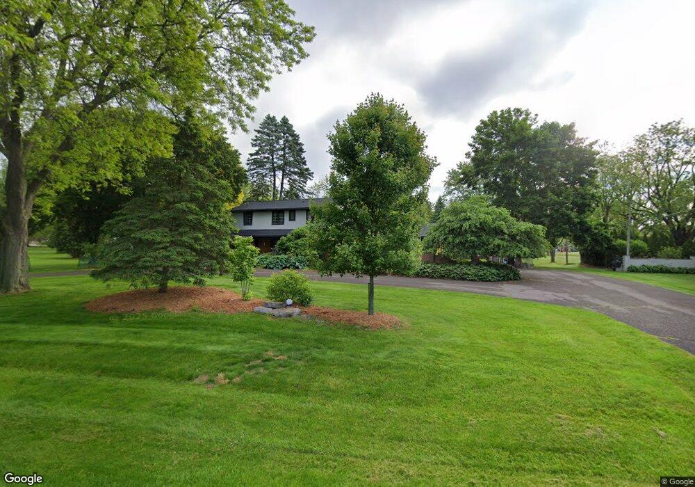
2240 Kingsford Rd Rochester Hills, MI 48309
Estimated Value: $564,380 - $586,000
4
Beds
3
Baths
3,168
Sq Ft
$181/Sq Ft
Est. Value
About This Home
This home is located at 2240 Kingsford Rd, Rochester Hills, MI 48309 and is currently estimated at $574,095, approximately $181 per square foot. 2240 Kingsford Rd is a home located in Oakland County with nearby schools including Meadow Brook Elementary School, West Middle School, and Rochester High School.
Ownership History
Date
Name
Owned For
Owner Type
Purchase Details
Closed on
Jul 30, 2004
Sold by
Raglin Arthur L and Dempster Eunice V
Bought by
Rele Sundeep and Rele Kshipra
Current Estimated Value
Home Financials for this Owner
Home Financials are based on the most recent Mortgage that was taken out on this home.
Original Mortgage
$256,800
Outstanding Balance
$118,815
Interest Rate
5%
Mortgage Type
Purchase Money Mortgage
Estimated Equity
$455,280
Purchase Details
Closed on
Jul 14, 2004
Sold by
Raglin Lorraine F
Bought by
Raglin Arthur L
Home Financials for this Owner
Home Financials are based on the most recent Mortgage that was taken out on this home.
Original Mortgage
$256,800
Outstanding Balance
$118,815
Interest Rate
5%
Mortgage Type
Purchase Money Mortgage
Estimated Equity
$455,280
Create a Home Valuation Report for This Property
The Home Valuation Report is an in-depth analysis detailing your home's value as well as a comparison with similar homes in the area
Home Values in the Area
Average Home Value in this Area
Purchase History
| Date | Buyer | Sale Price | Title Company |
|---|---|---|---|
| Rele Sundeep | $321,000 | Rochester Title Agency Inc | |
| Raglin Arthur L | -- | Rochester Title Agency Inc | |
| Raglin Arthur L | -- | Rochester Title Agency Inc |
Source: Public Records
Mortgage History
| Date | Status | Borrower | Loan Amount |
|---|---|---|---|
| Open | Rele Sundeep | $256,800 | |
| Closed | Rele Sundeep | $48,050 |
Source: Public Records
Tax History Compared to Growth
Tax History
| Year | Tax Paid | Tax Assessment Tax Assessment Total Assessment is a certain percentage of the fair market value that is determined by local assessors to be the total taxable value of land and additions on the property. | Land | Improvement |
|---|---|---|---|---|
| 2022 | $2,357 | $187,810 | $0 | $0 |
| 2018 | $3,921 | $163,290 | $0 | $0 |
| 2017 | $3,844 | $169,980 | $0 | $0 |
| 2015 | -- | $151,500 | $0 | $0 |
| 2014 | -- | $133,550 | $0 | $0 |
| 2011 | -- | $113,880 | $0 | $0 |
Source: Public Records
Map
Nearby Homes
- 1597 Northumberland Dr
- 1612 Bretton Dr N
- 1585 Kingsmere Cir
- 1751 Trafalgar Square
- 1770 Christian Hills Dr
- 2600 S Christian Hills Dr
- 211 Peregrine St
- 175 Peregrine St
- 650 Longford Dr
- 626 Wilwood Rd
- 2142 Kennedy Dr
- 2152 Avoncrest Dr
- 830 Croydon Rd
- 1812 Burning Bush Ct
- 1858 Allenway Ct
- 388 W Maryknoll Rd
- 1697 Riverside Dr Unit 18
- 1527 Charter Oak Dr Unit 143
- 1697 Riverside Dr Unit 15
- 1578 Charter Oak Dr
- 2210 Kingsford Rd
- 1550 Christian Hills Dr
- 1490 Christian Hills Dr
- 1440 Christian Hills Dr
- 2261 Kingsford Rd
- 1580 Christian Hills Dr
- 1396 Christian Hills Dr
- 2324 Bevington Rd
- 2300 Kingsford Rd
- 1370 Christian Hills Dr
- 2301 Kingsford Rd
- 2257 Bevington Rd
- 2289 Bevington Rd
- 2354 Bevington Rd
- 1587 Christian Hills Dr
- 1352 Christian
- 1423 Christian Hills Dr
- 1397 Christian Hills Dr
- 2330 Kingsford Rd
- 1352 Christian Hills Dr