2240 Maple Grove Rd Jackson, MI 49201
Estimated Value: $330,000 - $461,499
4
Beds
3
Baths
2,218
Sq Ft
$179/Sq Ft
Est. Value
About This Home
This home is located at 2240 Maple Grove Rd, Jackson, MI 49201 and is currently estimated at $398,125, approximately $179 per square foot. 2240 Maple Grove Rd is a home located in Jackson County with nearby schools including Northwest Early Elementary School, Northwest Elementary School, and Northwest Middle School.
Ownership History
Date
Name
Owned For
Owner Type
Purchase Details
Closed on
Mar 12, 2019
Sold by
Lemble Lisa A
Bought by
Lemble Lisa A and Lemble Brittany
Current Estimated Value
Purchase Details
Closed on
Apr 3, 2017
Sold by
Soltis Timothy M and Soltis Karen E
Bought by
Lemble Lisa A
Home Financials for this Owner
Home Financials are based on the most recent Mortgage that was taken out on this home.
Original Mortgage
$207,900
Outstanding Balance
$170,781
Interest Rate
3.75%
Mortgage Type
Adjustable Rate Mortgage/ARM
Estimated Equity
$227,344
Create a Home Valuation Report for This Property
The Home Valuation Report is an in-depth analysis detailing your home's value as well as a comparison with similar homes in the area
Purchase History
| Date | Buyer | Sale Price | Title Company |
|---|---|---|---|
| Lemble Lisa A | -- | None Available | |
| Lemble Lisa A | $231,000 | None Available |
Source: Public Records
Mortgage History
| Date | Status | Borrower | Loan Amount |
|---|---|---|---|
| Open | Lemble Lisa A | $207,900 |
Source: Public Records
Tax History
| Year | Tax Paid | Tax Assessment Tax Assessment Total Assessment is a certain percentage of the fair market value that is determined by local assessors to be the total taxable value of land and additions on the property. | Land | Improvement |
|---|---|---|---|---|
| 2025 | $9,601 | $221,000 | $7,100 | $213,900 |
| 2024 | $33 | $199,900 | $6,900 | $193,000 |
| 2023 | $2,364 | $187,200 | $187,200 | $0 |
| 2022 | $4,020 | $170,200 | $170,200 | $0 |
| 2021 | $3,990 | $142,600 | $142,600 | $0 |
| 2020 | $3,926 | $136,200 | $0 | $0 |
| 2019 | $3,830 | $136,000 | $0 | $0 |
| 2018 | $3,787 | $123,200 | $0 | $0 |
| 2017 | $3,178 | $117,200 | $0 | $0 |
| 2016 | $2,310 | $107,200 | $107,200 | $0 |
| 2015 | $3,084 | $106,400 | $106,400 | $0 |
| 2014 | $3,084 | $107,300 | $107,300 | $0 |
| 2013 | -- | $107,300 | $107,300 | $0 |
Source: Public Records
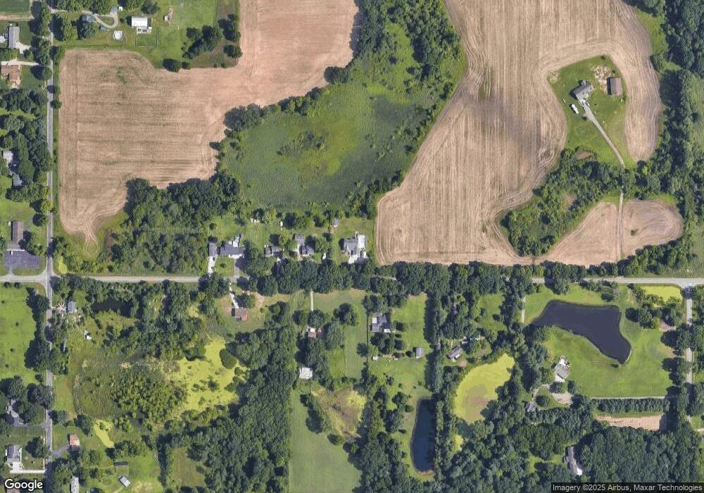
Map
Nearby Homes
- 0 Bunkerhill & Deweese Rd
- 0 Bunkerhill Rd
- 2651 Elliott Rd
- 6934 Lansing Ave
- 6501 Hawkins Rd
- 8843 Bunkerhill Rd
- 0 Erika Dr Unit 73
- 00 Waco Dr
- 890 White Lake Rd
- VL Fosland Farms Dr
- 5177 Stone River Rd
- 100 Burt Ave
- 5123 S Granite St
- 109 Bradley Dr
- 0 Burt Ave
- 4546 E Berry Rd
- 4223 Aspen Way
- 0 Churchill Rd
- 1747 Tennis Ct
- 8732 Kinch Rd
- 2240 Maplegrove Rd
- 2230 Maplegrove Rd
- 2200 Maplegrove Rd
- 2241 Maplegrove Rd
- 2190 Maplegrove Rd
- 2201 Maplegrove Rd
- 2231 Maplegrove Rd
- 2301 Maplegrove Rd
- 2355 Maplegrove Rd
- 2001 Maplegrove Rd
- 7420 Deweese Rd
- 6731 Cooper St
- 6731 Cooper St
- 6425 Cooper St
- 6321 Cooper St
- 6325 Cooper St
- 7410 Deweese Rd
- 6726 Cooper St
- 6728 Cooper St
- 6400 Cooper St
Your Personal Tour Guide
Ask me questions while you tour the home.