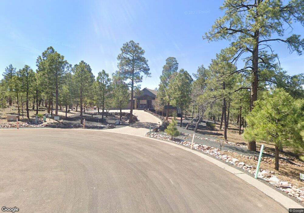
2240 S Columbine Ct Show Low, AZ 85901
Estimated Value: $1,214,116 - $1,357,000
3
Beds
4
Baths
3,757
Sq Ft
$341/Sq Ft
Est. Value
About This Home
This home is located at 2240 S Columbine Ct, Show Low, AZ 85901 and is currently estimated at $1,282,529, approximately $341 per square foot. 2240 S Columbine Ct is a home located in Navajo County with nearby schools including Nikolaus Homestead Elementary School, Show Low High School, and Show Low Junior High School.
Ownership History
Date
Name
Owned For
Owner Type
Purchase Details
Closed on
Dec 5, 2024
Sold by
Bishop Family Revocable Trust and Bishop Ronald Grant
Bought by
Allred Larry D and Allred Bebe D
Current Estimated Value
Purchase Details
Closed on
Dec 20, 2016
Sold by
Bishop Ronald G
Bought by
Bishop Ronald Grant and Bishop Yunan Louise
Purchase Details
Closed on
Oct 29, 2007
Sold by
Bishop Elsa F
Bought by
Bishop Ronald G
Create a Home Valuation Report for This Property
The Home Valuation Report is an in-depth analysis detailing your home's value as well as a comparison with similar homes in the area
Home Values in the Area
Average Home Value in this Area
Purchase History
| Date | Buyer | Sale Price | Title Company |
|---|---|---|---|
| Allred Larry D | $1,230,000 | Lawyers Title | |
| Allred Larry D | $1,230,000 | Lawyers Title | |
| Bishop Ronald Grant | -- | None Available | |
| Bishop Ronald G | -- | Accommodation |
Source: Public Records
Tax History Compared to Growth
Tax History
| Year | Tax Paid | Tax Assessment Tax Assessment Total Assessment is a certain percentage of the fair market value that is determined by local assessors to be the total taxable value of land and additions on the property. | Land | Improvement |
|---|---|---|---|---|
| 2026 | $4,758 | -- | -- | -- |
| 2025 | $4,675 | $89,738 | $9,538 | $80,200 |
| 2024 | $4,392 | $88,884 | $9,269 | $79,615 |
| 2023 | $4,675 | $69,296 | $6,654 | $62,642 |
| 2022 | $4,392 | $0 | $0 | $0 |
| 2021 | $4,396 | $0 | $0 | $0 |
| 2020 | $3,942 | $0 | $0 | $0 |
| 2019 | $3,930 | $0 | $0 | $0 |
| 2018 | $3,721 | $0 | $0 | $0 |
| 2017 | $3,391 | $0 | $0 | $0 |
| 2016 | $3,332 | $0 | $0 | $0 |
| 2015 | $3,092 | $30,394 | $5,255 | $25,139 |
Source: Public Records
Map
Nearby Homes
- 1825 S Pleasant View Dr
- 2281 S Bristlecone Dr
- 2020 S Pleasantview
- 2020 S Pleasant View Dr
- 1920 S Pleasant View Dr
- 861 E Pine Oaks Dr
- 2700 S Marshalls Run
- 1140 S Waterway Ln
- 2680 S Marshalls Run
- 1061 E Tyson Place
- 1400 Pine Oaks Dr
- 921 E Lauren Ct
- 2700 S White Mountain Rd Unit 527
- 2700 S White Mountain Rd Unit 702
- 2700 S White Mountain Rd Unit 701
- 2700 S White Mountain Rd
- 2700 S White Mountain Rd Unit 1027
- 440 E Stoneridge Cir
- 440 E Stoneridge Cir Unit 375
- 2611 Marshalls Run
- 2285 S Twin Peak Trail
- 2320 S Pleasant View Dr
- 2185 S Twin Peak Trail
- 2170 S Pleasant View Dr
- 2170 S Pleasant View Dr Unit 435
- 117 S Pleasant View Dr
- 1720 S Pleasant View Dr
- 1870 S Pleasant View Dr
- 1675 S Pleasant View Dr
- 1675 S Pleasant View Dr Unit 425
- 1720 S Pleasant View Dr Unit 426
- 1870 S Pleasant View Dr Unit 429
- 2270 S Pleasant View Dr
- 2345 S Pleasant View Dr
- 2375 S Pleasant View Dr
- 2355 S Pleasant View Dr
- 575 E Middle Mountain Ln Unit 398
- 575 E Middle Mountain Ln
- 2380 S Twin Peak Trail
- 2170 S Pleasantview Dr