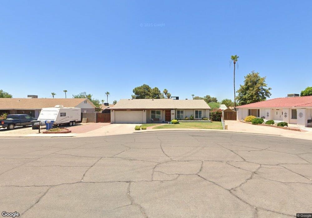
2240 S Date Cir Mesa, AZ 85210
Dobson NeighborhoodEstimated Value: $369,494 - $483,000
Studio
2
Baths
1,470
Sq Ft
$299/Sq Ft
Est. Value
About This Home
This home is located at 2240 S Date Cir, Mesa, AZ 85210 and is currently estimated at $438,874, approximately $298 per square foot. 2240 S Date Cir is a home located in Maricopa County with nearby schools including Crismon Elementary School, Franklin at Brimhall Elementary School, and Franklin Accelerated Academy Jordan Campus.
Ownership History
Date
Name
Owned For
Owner Type
Purchase Details
Closed on
Sep 7, 2016
Sold by
Bullock Marilyn A
Bought by
Bullock Marilyn A and Bullock Kent K
Current Estimated Value
Home Financials for this Owner
Home Financials are based on the most recent Mortgage that was taken out on this home.
Original Mortgage
$82,500
Interest Rate
3.43%
Mortgage Type
New Conventional
Purchase Details
Closed on
Sep 19, 2005
Sold by
Bullock Kent K
Bought by
Bullock Marilyn A
Home Financials for this Owner
Home Financials are based on the most recent Mortgage that was taken out on this home.
Original Mortgage
$90,000
Interest Rate
6.17%
Mortgage Type
Purchase Money Mortgage
Create a Home Valuation Report for This Property
The Home Valuation Report is an in-depth analysis detailing your home's value as well as a comparison with similar homes in the area
Home Values in the Area
Average Home Value in this Area
Purchase History
| Date | Buyer | Sale Price | Title Company |
|---|---|---|---|
| Bullock Marilyn A | -- | Old Republic Title Agency | |
| Bullock Marilyn A | -- | Lawyers Title Ins |
Source: Public Records
Mortgage History
| Date | Status | Borrower | Loan Amount |
|---|---|---|---|
| Closed | Bullock Marilyn A | $82,500 | |
| Closed | Bullock Marilyn A | $90,000 |
Source: Public Records
Tax History
| Year | Tax Paid | Tax Assessment Tax Assessment Total Assessment is a certain percentage of the fair market value that is determined by local assessors to be the total taxable value of land and additions on the property. | Land | Improvement |
|---|---|---|---|---|
| 2025 | $1,361 | $16,387 | -- | -- |
| 2024 | $1,376 | $15,607 | -- | -- |
| 2023 | $1,376 | $32,030 | $6,400 | $25,630 |
| 2022 | $1,346 | $23,850 | $4,770 | $19,080 |
| 2021 | $1,382 | $22,120 | $4,420 | $17,700 |
| 2020 | $1,364 | $20,380 | $4,070 | $16,310 |
| 2019 | $1,264 | $18,580 | $3,710 | $14,870 |
| 2018 | $1,206 | $16,960 | $3,390 | $13,570 |
| 2017 | $1,168 | $15,830 | $3,160 | $12,670 |
| 2016 | $1,147 | $15,420 | $3,080 | $12,340 |
| 2015 | $1,083 | $14,020 | $2,800 | $11,220 |
Source: Public Records
Map
Nearby Homes
- 2255 S Orange
- 836 W Laguna Azul Ave
- 638 W Monte Ave
- 731 W Meseto Cir
- 2428 S Colleen
- 635 W Monte Ave
- 925 W Mendoza Ave
- 945 W Mendoza Ave
- 917 W Monte Ave
- 435 W Nido Cir
- 2362 S Spruce
- 826 W Keating Ave
- 960 W Knowles Cir
- 651 W Nopal Ave
- 837 W Keating Ave
- 757 W Nopal Cir
- 1016 W Nido Ave
- 1942 S Emerson Unit 241
- 1942 S Emerson Unit 112
- 1942 S Emerson Unit 107
- 2246 S Date Cir
- 2236 S Date Cir
- 2235 S Hosick
- 2236 S Hosick
- 2229 S Hosick
- 2243 S Hosick
- 2219 S Hosick
- 630 W Los Lagos Vista Ave
- 2235 S Date Cir
- 638 W Los Lagos Vista Ave
- 2245 S Date Cir
- 629 W Kiowa Ave
- 2239 S Date Cir
- 617 W Kiowa Ave
- 616 W Los Lagos Vista Ave
- 2228 S Hosick
- 2234 S Hosick
- 611 W Kiowa Ave
- 2220 S Hosick
- 2242 S Hosick
Your Personal Tour Guide
Ask me questions while you tour the home.