22406 S State Route 7 Pleasant Hill, MO 64080
Estimated Value: $265,294 - $411,000
3
Beds
--
Bath
996
Sq Ft
$335/Sq Ft
Est. Value
About This Home
This home is located at 22406 S State Route 7, Pleasant Hill, MO 64080 and is currently estimated at $333,824, approximately $335 per square foot. 22406 S State Route 7 is a home located in Cass County with nearby schools including Pleasant Hill Primary School, Pleasant Hill Elementary School, and Pleasant Hill Middle School.
Ownership History
Date
Name
Owned For
Owner Type
Purchase Details
Closed on
Dec 4, 2024
Sold by
Murphy Robert and Murphy Stephanie
Bought by
Cody And Sarah Murphy Co-Grantor Trust and Murphy
Current Estimated Value
Purchase Details
Closed on
Jun 13, 2024
Sold by
Ortbals Anthony E and Ortbals Denise
Bought by
Murphy Robert and Murphy Stephanie
Create a Home Valuation Report for This Property
The Home Valuation Report is an in-depth analysis detailing your home's value as well as a comparison with similar homes in the area
Home Values in the Area
Average Home Value in this Area
Purchase History
| Date | Buyer | Sale Price | Title Company |
|---|---|---|---|
| Cody And Sarah Murphy Co-Grantor Trust | -- | None Listed On Document | |
| Murphy Robert | -- | None Listed On Document | |
| Murphy Robert | -- | None Listed On Document |
Source: Public Records
Tax History Compared to Growth
Tax History
| Year | Tax Paid | Tax Assessment Tax Assessment Total Assessment is a certain percentage of the fair market value that is determined by local assessors to be the total taxable value of land and additions on the property. | Land | Improvement |
|---|---|---|---|---|
| 2024 | $1,409 | $22,060 | $2,150 | $19,910 |
| 2023 | $1,409 | $22,060 | $2,150 | $19,910 |
| 2022 | $1,241 | $19,120 | $2,150 | $16,970 |
| 2021 | $1,163 | $19,120 | $2,150 | $16,970 |
| 2020 | $1,120 | $18,460 | $2,150 | $16,310 |
| 2019 | $1,101 | $18,460 | $2,150 | $16,310 |
| 2018 | $1,027 | $16,380 | $1,720 | $14,660 |
| 2017 | $935 | $16,380 | $1,720 | $14,660 |
| 2016 | $935 | $15,610 | $1,720 | $13,890 |
| 2015 | $935 | $15,610 | $1,720 | $13,890 |
| 2014 | $935 | $15,610 | $1,720 | $13,890 |
| 2013 | -- | $15,610 | $1,720 | $13,890 |
Source: Public Records
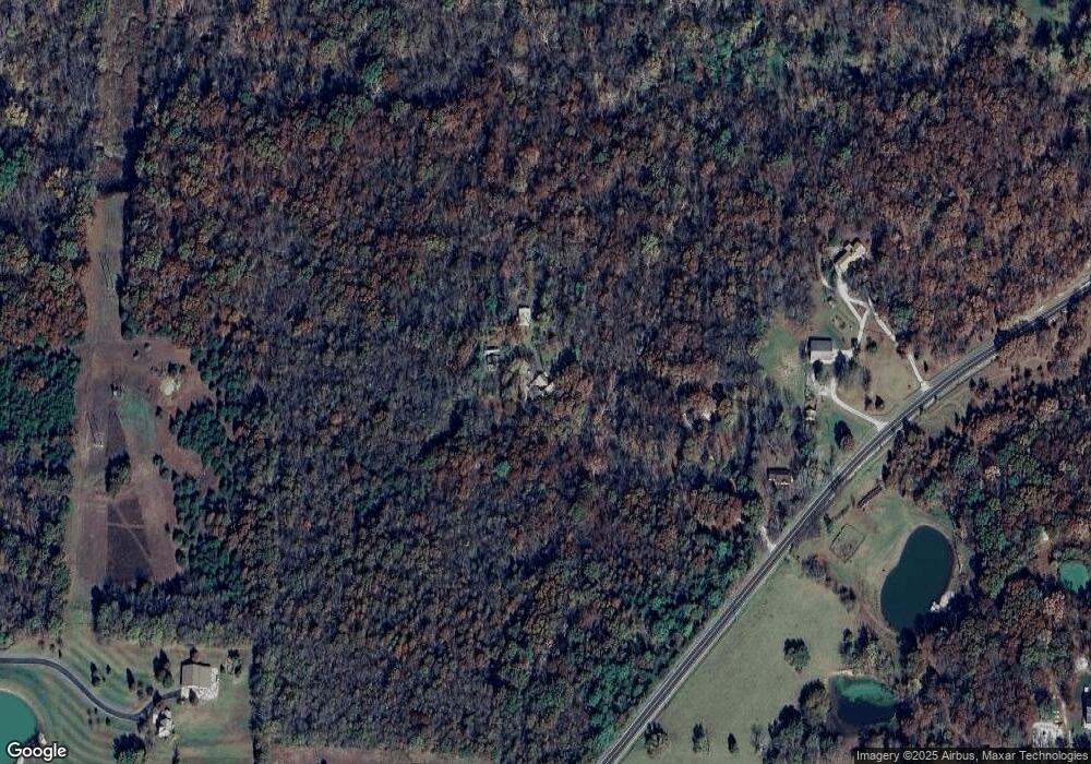
Map
Nearby Homes
- 24001 E 223rd St
- 0 E 235th St
- 0 E 235th St
- 24101 E 235th St
- 23000 S Camp Branch Rd
- East State Route Ee N A
- 0000 E State Route P
- 0 State Rt Ee Rd
- 27101 E State Route Ee
- 3200 Junction Dr
- 24004 E State Route Ee
- 3204 Whistle Rd
- 3205 Whistle Rd
- 3207 Steel Wheel Dr
- 24008 E 205th St
- 0 Krissy Bend
- 3113 Krissy Bend
- 3104 Steel Wheel Dr
- 23510 S Airport Rd
- 25002 E Twin Pines Dr
- 22402 S State Route 7
- 22320 S State Route 7
- 25510 E 227th St
- 22223 S State Route 7 Unit 22225
- 22501 S Excelsior Rd
- 24800 E 227th St
- 22212 S State Route 7
- 22208 S State Route 7
- 22221 S State Route 7
- 22219 S State Route 7
- 22405 S Excelsior Rd
- 25800 E 227th St
- 24600 E 227th St
- 22601 S Excelsior Rd
- 22023 S Excelsior Rd
- 0 S Excelsior Rd
- Tract 4 S Excelsior Rd
- 22404 S Excelsior Rd
- 25801 E 227th St
- 22619 S Excelsior Rd