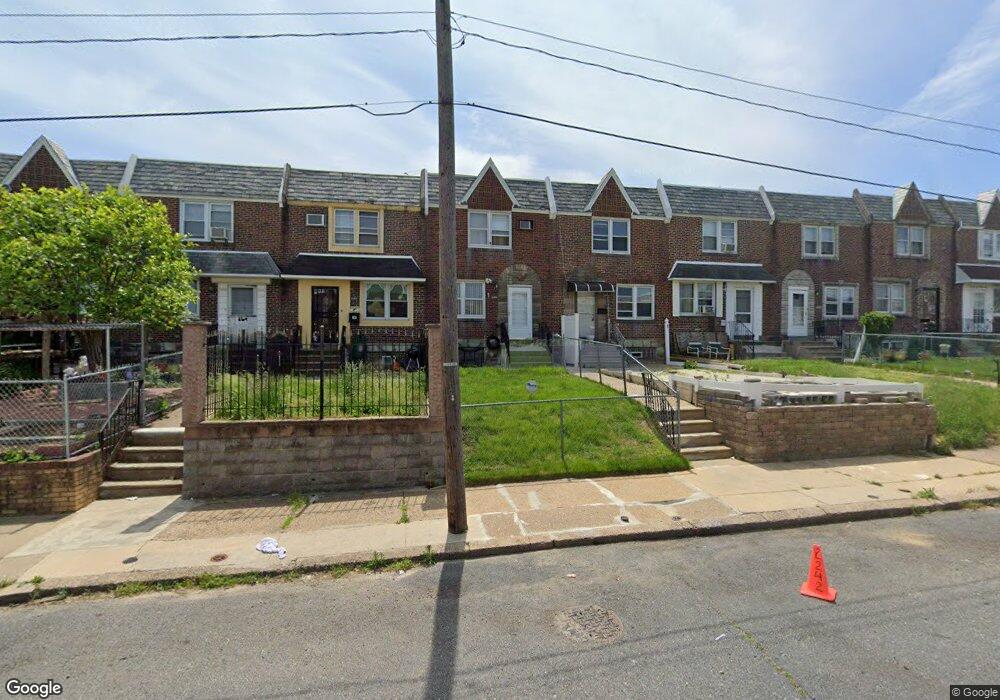
2242 Disston St Philadelphia, PA 19149
Castor Gardens NeighborhoodEstimated Value: $236,000 - $245,000
3
Beds
1
Bath
1,182
Sq Ft
$203/Sq Ft
Est. Value
About This Home
This home is located at 2242 Disston St, Philadelphia, PA 19149 and is currently estimated at $239,529, approximately $202 per square foot. 2242 Disston St is a home located in Philadelphia County with nearby schools including Solomon Solis-Cohen School, Castor Gardens Middle School, and Northeast High School.
Ownership History
Date
Name
Owned For
Owner Type
Purchase Details
Closed on
Nov 28, 2003
Sold by
Capper Daniel J and Capper Mary E
Bought by
Herrera John A
Current Estimated Value
Home Financials for this Owner
Home Financials are based on the most recent Mortgage that was taken out on this home.
Original Mortgage
$89,300
Outstanding Balance
$41,438
Interest Rate
5.9%
Mortgage Type
Purchase Money Mortgage
Estimated Equity
$198,091
Create a Home Valuation Report for This Property
The Home Valuation Report is an in-depth analysis detailing your home's value as well as a comparison with similar homes in the area
Home Values in the Area
Average Home Value in this Area
Purchase History
| Date | Buyer | Sale Price | Title Company |
|---|---|---|---|
| Herrera John A | $94,000 | -- |
Source: Public Records
Mortgage History
| Date | Status | Borrower | Loan Amount |
|---|---|---|---|
| Open | Herrera John A | $89,300 |
Source: Public Records
Tax History Compared to Growth
Tax History
| Year | Tax Paid | Tax Assessment Tax Assessment Total Assessment is a certain percentage of the fair market value that is determined by local assessors to be the total taxable value of land and additions on the property. | Land | Improvement |
|---|---|---|---|---|
| 2025 | $2,874 | $242,400 | $48,480 | $193,920 |
| 2024 | $2,874 | $242,400 | $48,480 | $193,920 |
| 2023 | $2,874 | $205,300 | $41,060 | $164,240 |
| 2022 | $1,386 | $160,300 | $41,060 | $119,240 |
| 2021 | $2,016 | $0 | $0 | $0 |
| 2020 | $2,016 | $0 | $0 | $0 |
| 2019 | $1,935 | $0 | $0 | $0 |
| 2018 | $1,768 | $0 | $0 | $0 |
| 2017 | $1,768 | $0 | $0 | $0 |
| 2016 | $1,348 | $0 | $0 | $0 |
| 2015 | $1,290 | $0 | $0 | $0 |
| 2014 | -- | $126,300 | $23,060 | $103,240 |
| 2012 | -- | $15,968 | $1,808 | $14,160 |
Source: Public Records
Map
Nearby Homes
- 2248 Disston St
- 2257 Disston St
- 2249 Knorr St
- 2241 Knorr St
- 2171 Disston St
- 7017 Calvert St
- 2169 Knorr St
- 6749 E Roosevelt Blvd
- 2712 Knorr St
- 2206 Princeton Ave
- 2119 Glenview St
- 2110 Longshore Ave
- 2162 Princeton Ave
- 2711 Unruh Ave
- 2268 Friendship St
- 2240 Friendship St
- 2140 Princeton Ave
- 2731 Unruh Ave
- 2720 Unruh Ave
- 2923 Disston St
- 2240 Disston St
- 2246 Disston St
- 2238 Disston St
- 2236 Disston St
- 2234 Disston St
- 2250 Disston St
- 2252 Disston St
- 2232 Disston St
- 2237 Longshore Ave
- 2254 Disston St
- 2235 Longshore Ave
- 2241 Longshore Ave
- 2233 Longshore Ave
- 2245 Longshore Ave
- 2243 Longshore Ave
- 2230 Disston St
- 2256 Disston St
- 2231 Longshore Ave
- 2247 Longshore Ave
- 2228 Disston St