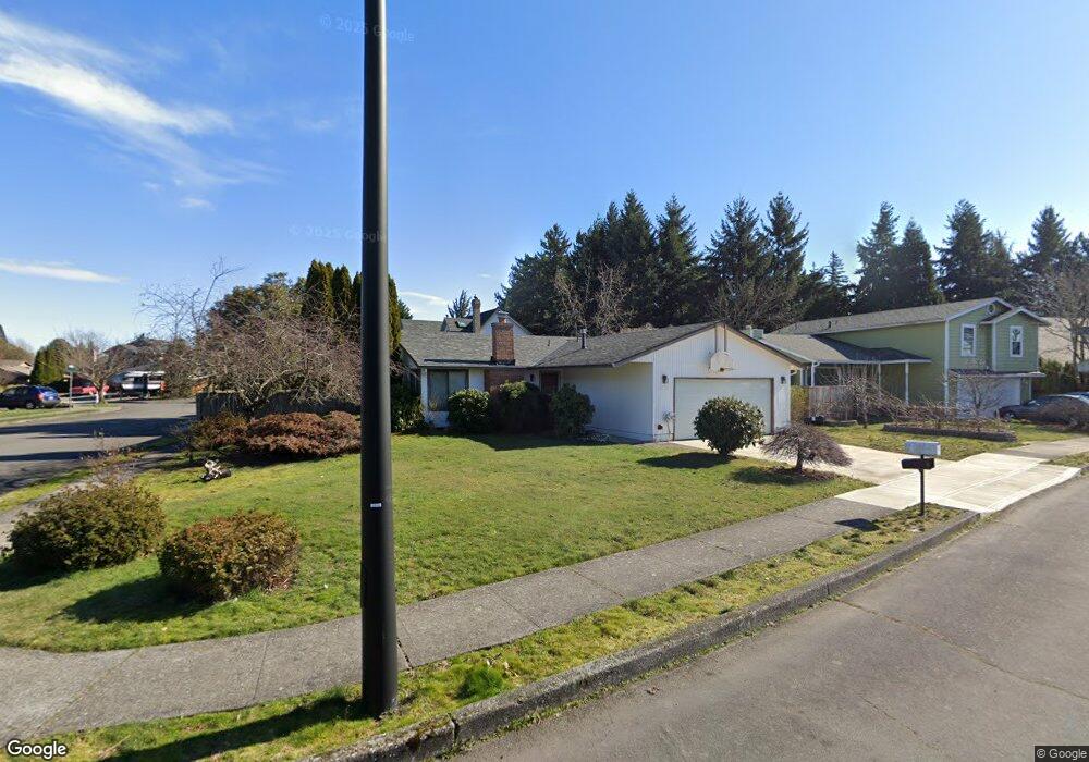
2242 NW Norman Ave Gresham, OR 97030
North Central NeighborhoodEstimated Value: $413,167 - $462,000
3
Beds
2
Baths
1,260
Sq Ft
$345/Sq Ft
Est. Value
About This Home
This home is located at 2242 NW Norman Ave, Gresham, OR 97030 and is currently estimated at $434,292, approximately $344 per square foot. 2242 NW Norman Ave is a home located in Multnomah County with nearby schools including North Gresham Elementary School, Clear Creek Middle School, and Gresham High School.
Ownership History
Date
Name
Owned For
Owner Type
Purchase Details
Closed on
Nov 18, 1998
Sold by
Peterson Mark A and Peterson Debra L
Bought by
Hensley Wayne and Hensley Hattie L
Current Estimated Value
Home Financials for this Owner
Home Financials are based on the most recent Mortgage that was taken out on this home.
Original Mortgage
$138,139
Outstanding Balance
$28,996
Interest Rate
6.42%
Mortgage Type
FHA
Estimated Equity
$405,296
Create a Home Valuation Report for This Property
The Home Valuation Report is an in-depth analysis detailing your home's value as well as a comparison with similar homes in the area
Home Values in the Area
Average Home Value in this Area
Purchase History
| Date | Buyer | Sale Price | Title Company |
|---|---|---|---|
| Hensley Wayne | $139,990 | Fidelity National Title Co |
Source: Public Records
Mortgage History
| Date | Status | Borrower | Loan Amount |
|---|---|---|---|
| Open | Hensley Wayne | $138,139 |
Source: Public Records
Tax History
| Year | Tax Paid | Tax Assessment Tax Assessment Total Assessment is a certain percentage of the fair market value that is determined by local assessors to be the total taxable value of land and additions on the property. | Land | Improvement |
|---|---|---|---|---|
| 2025 | $4,204 | $206,600 | -- | -- |
| 2024 | $4,025 | $200,590 | -- | -- |
| 2023 | $3,667 | $194,750 | $0 | $0 |
| 2022 | $3,564 | $189,080 | $0 | $0 |
| 2021 | $3,475 | $183,580 | $0 | $0 |
| 2020 | $3,269 | $178,240 | $0 | $0 |
| 2019 | $3,184 | $173,050 | $0 | $0 |
| 2018 | $3,036 | $168,010 | $0 | $0 |
| 2017 | $2,912 | $163,120 | $0 | $0 |
| 2016 | $2,568 | $158,370 | $0 | $0 |
Source: Public Records
Map
Nearby Homes
- 1035 SE 225th Ave
- 21532 SE Alder St
- 21033 SE Clay Ct
- 2730 NE Roberts Ave
- 450 NE 22nd St
- 54 NW 13th St
- 349 NE 18th St
- 21400 SE Stark St Unit 2
- 21260 SE Stark St
- 1783 1791 NE Beech Place
- 21525 SE Oak St
- 210 SE 218th Ave
- 21016 SE Stark St Unit 71
- 21016 SE Stark St Unit 69
- 2013 NW Bella Vista Dr
- 535 NE 24th St
- 1811 NW 19th St
- 21553 SE Ankeny Terrace
- 209 SE 214th Ave
- 994 NW Wallula Ave
- 2230 NW Norman Ave
- 522 NW 23rd Ave
- 2302 NW Norman Ave
- 2226 NW Norman Ave
- 2313 NW Ava Ave
- 2243 NW Norman Ave
- 2313 NW Relisted Ml#163258
- 518 NW 23rd Ave
- 2301 NW Norman Ave
- 2235 NW Norman Ave
- 2214 NW Norman Ave
- 2219 NW Norman Ave
- 2317 NW Norman Ave
- 2349 NW Ava Ave
- 2306 NW Ava Ave
- 2229 NW Norman Ave
- 2320 NW Ava Ave
- 2323 NW Norman Ave
- 2336 NW Norman Ave
- 2234 NW 217th Ave
Your Personal Tour Guide
Ask me questions while you tour the home.