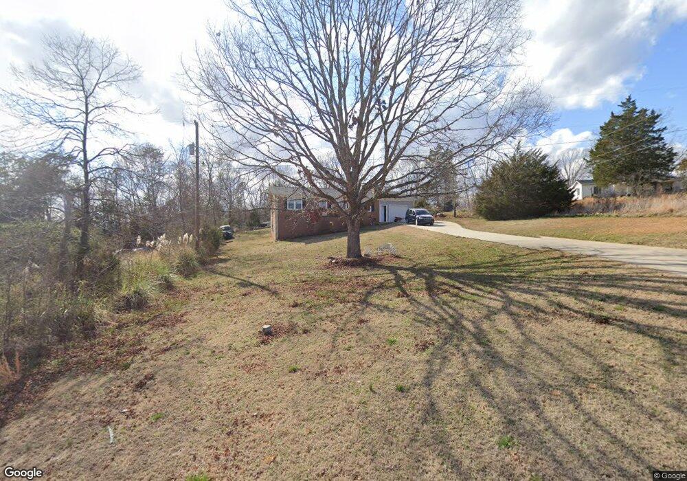
2242 O G Lail Rd Shelby, NC 28152
Estimated Value: $125,000 - $209,000
3
Beds
2
Baths
1,283
Sq Ft
$143/Sq Ft
Est. Value
About This Home
This home is located at 2242 O G Lail Rd, Shelby, NC 28152 and is currently estimated at $183,801, approximately $143 per square foot. 2242 O G Lail Rd is a home located in Cleveland County with nearby schools including Boiling Springs Elementary School, Crest Middle School, and Crest High School.
Ownership History
Date
Name
Owned For
Owner Type
Purchase Details
Closed on
Nov 5, 2015
Sold by
Jpmorgan Chase Bank Na
Bought by
Ledbetter Larry D
Current Estimated Value
Purchase Details
Closed on
Apr 27, 2015
Sold by
Deaton Jeffrey D and Deaton Elizabeth D
Bought by
Jpmorgan Chase Bank Na
Purchase Details
Closed on
Dec 28, 2010
Sold by
Hensley James Rodney
Bought by
Deaton Jeffrey D and Deaton Elizabeth B
Create a Home Valuation Report for This Property
The Home Valuation Report is an in-depth analysis detailing your home's value as well as a comparison with similar homes in the area
Home Values in the Area
Average Home Value in this Area
Purchase History
| Date | Buyer | Sale Price | Title Company |
|---|---|---|---|
| Ledbetter Larry D | $40,000 | None Available | |
| Jpmorgan Chase Bank Na | $54,000 | None Available | |
| Deaton Jeffrey D | $75,000 | None Available |
Source: Public Records
Tax History Compared to Growth
Tax History
| Year | Tax Paid | Tax Assessment Tax Assessment Total Assessment is a certain percentage of the fair market value that is determined by local assessors to be the total taxable value of land and additions on the property. | Land | Improvement |
|---|---|---|---|---|
| 2025 | $905 | $142,486 | $20,572 | $121,914 |
| 2024 | $862 | $98,362 | $18,288 | $80,074 |
| 2023 | $858 | $98,362 | $18,288 | $80,074 |
| 2022 | $867 | $98,362 | $18,288 | $80,074 |
| 2021 | $860 | $98,362 | $18,288 | $80,074 |
| 2020 | $726 | $78,797 | $18,288 | $60,509 |
| 2019 | $726 | $78,797 | $18,288 | $60,509 |
| 2018 | $721 | $78,797 | $18,288 | $60,509 |
| 2017 | $714 | $78,797 | $18,288 | $60,509 |
| 2016 | $685 | $78,797 | $18,288 | $60,509 |
| 2015 | $678 | $78,018 | $10,943 | $67,075 |
| 2014 | -- | $78,018 | $10,943 | $67,075 |
Source: Public Records
Map
Nearby Homes
- 000 Oak St E
- 0000 Oak St E
- 1815 Gaffney Rd
- 118 Southern Pine Dr
- 107 Southern Pines Dr
- 1622 Patrick Ave
- TBD Patrick Ave
- 231 Pineland Ave Unit 1
- 125 Flint Hill Church Rd
- 0 Patrick Ave Unit LotWP001
- 322 S Main St
- 133 Brookview Dr
- 2139 Mccraw Rd
- 301 Oak Ave
- 1336 Mount Sinai Church Rd
- 106 Riverview Dr
- 105 River View Dr
- 111 River View Dr
- 245 E College Ave
- 1013 Point Crossing Ct Unit 25
- 2238 O G Lail Rd
- - O G Lail Rd
- 2240 O G Lail Rd
- 2229 O G Lail Rd
- 2226 O G Lail Rd
- 2246 O G Lail Rd
- 2246 O G Lail Rd Unit 1
- 2262 O G Lail Rd
- 2222 O G Lail Rd
- 2244 Honey Haven Farm Rd
- 2236 Honey Haven Farm Rd
- 2277 O G Lail Rd
- 2278 O G Lail Rd
- 2142 Honey Haven Farm Rd
- 2237 Honey Haven Farm Rd
- 2141 Riverside Rd
- 2288 O G Lail Rd
- 0 Riverside Rd Unit 3419320
- 2227 Honey Haven Farm Rd
- 125 Roper Rd