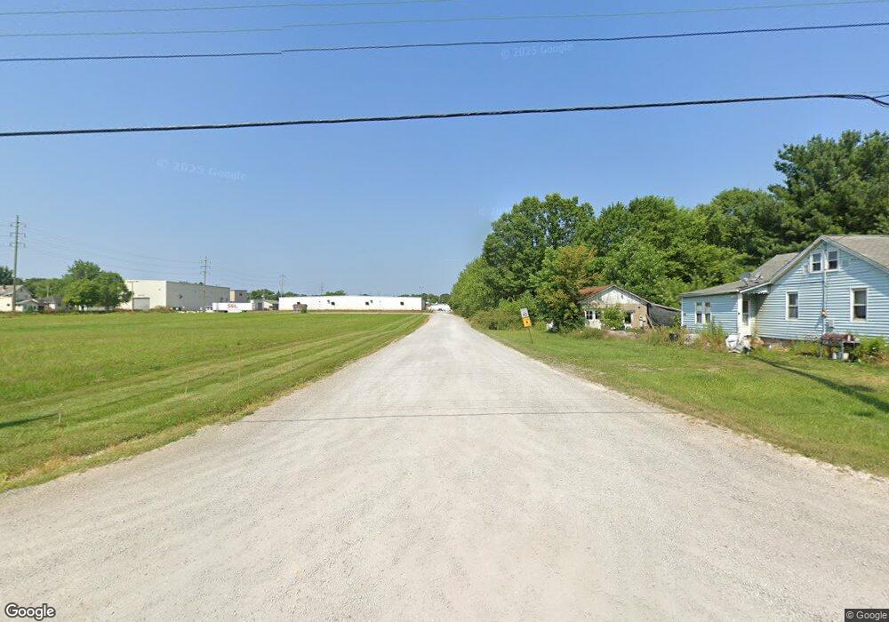
22425 Shady St Alliance, OH 44601
Estimated Value: $54,962 - $105,000
3
Beds
1
Bath
1,040
Sq Ft
$75/Sq Ft
Est. Value
About This Home
This home is located at 22425 Shady St, Alliance, OH 44601 and is currently estimated at $77,741, approximately $74 per square foot. 22425 Shady St is a home with nearby schools including Alliance Intermediate School at Northside, Alliance Elementary School at Rockhill, and Alliance Middle School.
Ownership History
Date
Name
Owned For
Owner Type
Purchase Details
Closed on
Aug 11, 1983
Bought by
Dennis Margaret E
Current Estimated Value
Create a Home Valuation Report for This Property
The Home Valuation Report is an in-depth analysis detailing your home's value as well as a comparison with similar homes in the area
Home Values in the Area
Average Home Value in this Area
Purchase History
| Date | Buyer | Sale Price | Title Company |
|---|---|---|---|
| Dennis Margaret E | -- | -- |
Source: Public Records
Tax History Compared to Growth
Tax History
| Year | Tax Paid | Tax Assessment Tax Assessment Total Assessment is a certain percentage of the fair market value that is determined by local assessors to be the total taxable value of land and additions on the property. | Land | Improvement |
|---|---|---|---|---|
| 2024 | $87 | $2,080 | $360 | $1,720 |
| 2023 | $90 | $2,080 | $360 | $1,720 |
| 2022 | $78 | $1,720 | $280 | $1,440 |
| 2021 | $78 | $1,720 | $280 | $1,440 |
| 2020 | $81 | $1,720 | $280 | $1,440 |
| 2019 | $75 | $1,490 | $280 | $1,210 |
| 2018 | $84 | $1,490 | $280 | $1,210 |
| 2017 | $105 | $1,490 | $280 | $1,210 |
| 2016 | $129 | $2,400 | $280 | $2,120 |
| 2015 | $127 | $2,400 | $280 | $2,120 |
| 2014 | $132 | $2,400 | $280 | $2,120 |
| 2013 | $130 | $2,400 | $280 | $2,120 |
Source: Public Records
Map
Nearby Homes
- 22841 Lake Park Blvd
- 831 Wade Ave
- 1233 Woodland Ave
- 814 Milner St
- 442 S Liberty Ave
- 263 Franklin Ave
- 1044 S Liberty Ave
- 548 E High St
- 328 N Webb Ave
- V/L S Fredeom Ave
- 452 E Summit St
- 729 Waugh St
- 834 Devine St
- 432 S Linden Ave
- 815 Grace St
- 404 S Linden Ave
- 1005 S Freedom Ave
- 652 N Webb Ave
- 361 E Main St
- 1437 S Linden Ave
- 22437 Shady St
- 22412 Shady St
- 22451 Shady St
- 13996 Oyster Rd
- 22469 Shady St
- 13907 Oyster Rd
- 13875 Oyster Rd
- 13824 Oyster Rd
- 22394 Lake Park Blvd
- 0 Lake Park Blvd Unit 3250712
- 22505 Railroad St
- 22519 Railroad St
- 22385 Lake Park Blvd
- 22489 Lake Park Blvd
- 22505 Lake Park Blvd
- 14103 Oyster Rd
- 22420 Alden Ave
- 22430 Alden Ave
- 22410 Alden Ave
- 13728 Oyster Rd