Estimated Value: $131,214 - $400,000
--
Bed
--
Bath
1,483
Sq Ft
$166/Sq Ft
Est. Value
About This Home
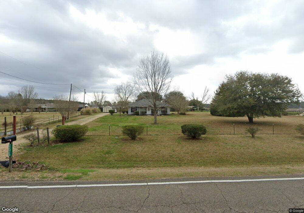
This home is located at 22426 Highway 1061, Amite, LA 70422 and is currently estimated at $246,804, approximately $166 per square foot. 22426 Highway 1061 is a home located in Tangipahoa Parish with nearby schools including Amite Elementary Magnet School, Amite Westside Middle Magnet, and Amite High Magnet.
Ownership History
Date
Name
Owned For
Owner Type
Purchase Details
Closed on
Jun 10, 2016
Sold by
Rayborn Tamara Neal
Bought by
Neal David Wesley
Current Estimated Value
Purchase Details
Closed on
May 13, 2011
Sold by
Stevens Gregory Dwayne and Stevens Karen Elizabeth Kedney
Bought by
Neal David Wesley and Neal Tamara Lynn Ogima
Home Financials for this Owner
Home Financials are based on the most recent Mortgage that was taken out on this home.
Original Mortgage
$93,265
Interest Rate
4.95%
Mortgage Type
Future Advance Clause Open End Mortgage
Create a Home Valuation Report for This Property
The Home Valuation Report is an in-depth analysis detailing your home's value as well as a comparison with similar homes in the area
Home Values in the Area
Average Home Value in this Area
Purchase History
| Date | Buyer | Sale Price | Title Company |
|---|---|---|---|
| Neal David Wesley | -- | Attorney | |
| Neal David Wesley | $90,000 | Title Source Of La |
Source: Public Records
Mortgage History
| Date | Status | Borrower | Loan Amount |
|---|---|---|---|
| Previous Owner | Neal David Wesley | $93,265 |
Source: Public Records
Tax History Compared to Growth
Tax History
| Year | Tax Paid | Tax Assessment Tax Assessment Total Assessment is a certain percentage of the fair market value that is determined by local assessors to be the total taxable value of land and additions on the property. | Land | Improvement |
|---|---|---|---|---|
| 2024 | $608 | $7,931 | $810 | $7,121 |
| 2023 | $607 | $7,870 | $750 | $7,120 |
| 2022 | $607 | $7,870 | $750 | $7,120 |
| 2021 | $33 | $7,870 | $750 | $7,120 |
| 2020 | $646 | $7,870 | $750 | $7,120 |
| 2019 | $647 | $7,870 | $750 | $7,120 |
| 2018 | $639 | $7,870 | $750 | $7,120 |
| 2017 | $623 | $7,870 | $750 | $7,120 |
| 2016 | $639 | $7,870 | $750 | $7,120 |
| 2015 | $58 | $8,180 | $750 | $7,430 |
| 2014 | $58 | $8,180 | $750 | $7,430 |
Source: Public Records
Map
Nearby Homes
- 64450 J Catha Dr
- 21305 Louisiana 1061
- 21305 Hwy 1061 None
- 21490 Louisiana 10
- 63279 Lowery Rd
- 1 Mixon Rd
- 62318 Friendship Church Rd
- 25176 Seals Rd
- 25129 Corban Ln
- 0 Newman Briggs Rd Unit 2499387
- B-1 Olan Bankston Rd
- B-2 Olan Bankston Rd
- 0 Houlton Ridge Rd
- 68278 Will Houlton Rd
- 36352 Bumblebee Buzzway None
- L - Z McDaniel Rd
- K - Z McDaniel Rd
- 22430 Highway 1061
- 22450 Highway 1061
- 22436 Highway 1061
- 22367 Highway 1061
- B-7 Olon Bankston Rd
- 22435 Highway 1061
- 22435 Highway 1061
- 22435 Highway 1061
- 22514 Louisiana 1061
- 22514 Highway 1061
- 64655 Houltonwood Rd
- 64655 Houltonwood Rd
- 0 Houltonwood Dr
- 22537 Louisiana 1061
- 22308 Highway 1061
- 22308 Louisiana 1061
- 64670 Houltonwood Rd
- 22537 Highway 1061
- 22537 Highway 1061
- 22537 Highway 1061