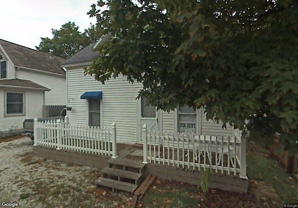
2243 1st Ave Holland, MI 49424
Estimated Value: $67,000 - $356,000
2
Beds
1
Bath
1,310
Sq Ft
$201/Sq Ft
Est. Value
About This Home
This home is located at 2243 1st Ave, Holland, MI 49424 and is currently estimated at $263,263, approximately $200 per square foot. 2243 1st Ave is a home located in Ottawa County with nearby schools including Lakewood Elementary School, Macatawa Bay Middle School, and West Ottawa High School.
Ownership History
Date
Name
Owned For
Owner Type
Purchase Details
Closed on
Sep 3, 2014
Sold by
Knoll Raymond M
Bought by
Vaneenenaam Richard D
Current Estimated Value
Purchase Details
Closed on
Dec 30, 2009
Sold by
Knoll Beverly G
Bought by
Knoll Raymond M and Knoll Beverly
Home Financials for this Owner
Home Financials are based on the most recent Mortgage that was taken out on this home.
Original Mortgage
$73,588
Interest Rate
4.78%
Mortgage Type
New Conventional
Create a Home Valuation Report for This Property
The Home Valuation Report is an in-depth analysis detailing your home's value as well as a comparison with similar homes in the area
Home Values in the Area
Average Home Value in this Area
Purchase History
| Date | Buyer | Sale Price | Title Company |
|---|---|---|---|
| Vaneenenaam Richard D | -- | None Available | |
| Knoll Raymond M | -- | None Available |
Source: Public Records
Mortgage History
| Date | Status | Borrower | Loan Amount |
|---|---|---|---|
| Previous Owner | Knoll Raymond M | $73,588 |
Source: Public Records
Tax History Compared to Growth
Tax History
| Year | Tax Paid | Tax Assessment Tax Assessment Total Assessment is a certain percentage of the fair market value that is determined by local assessors to be the total taxable value of land and additions on the property. | Land | Improvement |
|---|---|---|---|---|
| 2025 | $2,239 | $127,800 | $0 | $0 |
| 2024 | $1,753 | $118,600 | $0 | $0 |
| 2023 | $1,692 | $97,900 | $0 | $0 |
| 2022 | $2,009 | $93,700 | $0 | $0 |
| 2021 | $2,008 | $88,900 | $0 | $0 |
| 2020 | $1,934 | $78,100 | $0 | $0 |
| 2019 | $1,913 | $74,600 | $0 | $0 |
| 2018 | $1,782 | $65,700 | $0 | $0 |
| 2017 | $1,753 | $65,700 | $0 | $0 |
| 2016 | $1,743 | $65,500 | $0 | $0 |
| 2015 | -- | $59,200 | $0 | $0 |
| 2014 | -- | $60,300 | $0 | $0 |
Source: Public Records
Map
Nearby Homes
- 2063 Ottawa Beach Rd
- 1992 S Shore Dr Unit 2
- 1992 S Shore Dr Unit 3
- 1982 S Shore Dr Unit 2
- 1995 N Shorewood Ln Unit 2
- 2312 Maksaba Trail
- 1933 S Shore Dr
- 1981 N Shorewood Ln Unit 6
- The Andover 3 Plan at Shorewood Lane
- The Andover 2 Plan at Shorewood Lane
- Andover Plan at Shorewood Lane
- 1991 N Shorewood Ln Unit 4
- 1988 S Shorewood Ln Unit 22
- 1968 S Shorewood Ln Unit 14
- 6579 Partridge Ln
- 2170 Eagle Blvd
- 6621 Forest Beach Dr
- 4679 Forest Ridge Dr Unit 29
- 4681 Forest Ridge Dr
- 210 Timbercrest Ct