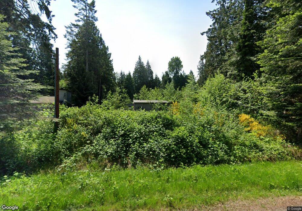
2243 Cedar Point Ave Point Roberts, WA 98281
Estimated Value: $220,000 - $348,000
1
Bed
1
Bath
528
Sq Ft
$565/Sq Ft
Est. Value
About This Home
This home is located at 2243 Cedar Point Ave, Point Roberts, WA 98281 and is currently estimated at $298,383, approximately $565 per square foot. 2243 Cedar Point Ave is a home with nearby schools including Point Roberts Primary School, Blaine Middle School, and Blaine High School.
Ownership History
Date
Name
Owned For
Owner Type
Purchase Details
Closed on
Jan 20, 2017
Sold by
Oliver Lafayette W
Bought by
Leung Francis C
Current Estimated Value
Purchase Details
Closed on
Dec 28, 2012
Sold by
Calli Kati Llc
Bought by
Oliver Lafayette W
Purchase Details
Closed on
Dec 3, 2005
Sold by
Quinn Janis
Bought by
Calli Kati Llc
Create a Home Valuation Report for This Property
The Home Valuation Report is an in-depth analysis detailing your home's value as well as a comparison with similar homes in the area
Home Values in the Area
Average Home Value in this Area
Purchase History
| Date | Buyer | Sale Price | Title Company |
|---|---|---|---|
| Leung Francis C | $45,500 | Whatcom Land Title Co Inc | |
| Oliver Lafayette W | $47,280 | Whatcom Land Title | |
| Calli Kati Llc | $30,280 | Whatcom Land Title |
Source: Public Records
Tax History Compared to Growth
Tax History
| Year | Tax Paid | Tax Assessment Tax Assessment Total Assessment is a certain percentage of the fair market value that is determined by local assessors to be the total taxable value of land and additions on the property. | Land | Improvement |
|---|---|---|---|---|
| 2024 | $1,571 | $215,476 | $102,383 | $113,093 |
| 2023 | $1,571 | $173,213 | $93,075 | $80,138 |
| 2022 | $1,075 | $158,185 | $85,000 | $73,185 |
| 2021 | $1,071 | $92,860 | $40,128 | $52,732 |
| 2020 | $1,075 | $85,980 | $37,155 | $48,825 |
| 2019 | $538 | $82,758 | $35,640 | $47,118 |
| 2018 | $355 | $29,400 | $29,400 | $0 |
| 2017 | $322 | $29,400 | $29,400 | $0 |
| 2016 | $331 | $30,000 | $30,000 | $0 |
| 2015 | $342 | $30,022 | $30,022 | $0 |
| 2014 | -- | $30,566 | $30,566 | $0 |
| 2013 | -- | $34,000 | $34,000 | $0 |
Source: Public Records
Map
Nearby Homes
- 412 High Bluff Dr
- 0 X Weasel Run
- 0 Lot 7 Weasel Run Rd
- 6 Weasel Run Rd
- 500 Moose Trail
- 302 Boundary Bay Rd
- 4 Boundary Bay Rd
- Lot 35 Boundary Bay Rd
- 2138 Benson Rd
- 251 Elizabeth Dr
- 2149 Seabright Loop
- 2128 Seabright Loop
- 2202 Seabright Loop
- 58 Seabright Loop
- 2045 Apa Rd
- Lot 2 Greenwood Dr
- 2250 Seabright Loop
- 2242 Seabright Loop
- 2246 Seabright Loop
- 1976 Cedar Park Dr
- 2239 Cedar Point Ave
- 0 Cedar Point Ave Unit 365274
- 0 Cedar Point Ave Unit 1005230
- 0 Cedar Point Ave Unit 10440140
- 0 Cedar Point Ave Unit LOT: 7 BLK: 1
- 2249 Cedar Point Ave
- 2246 Cedar Point Ave
- 2240 Cedar Point Ave
- 2261 Cedar Point Ave
- 2251 Cedar Point Ave
- 2254 Cedar Point Ave
- 404 Debra Dr
- 2266 Cedar Point Ave
- 2271 Cedar Point Ave
- 2274 Cedar Point Ave
- 5 Cedar Point Ave
- 2218 Cedar Point Ave
- 2281 Cedar Point Ave
- 0 Boundary Bay Rd Unit NWM1529133
- 0 Boundary Bay Rd