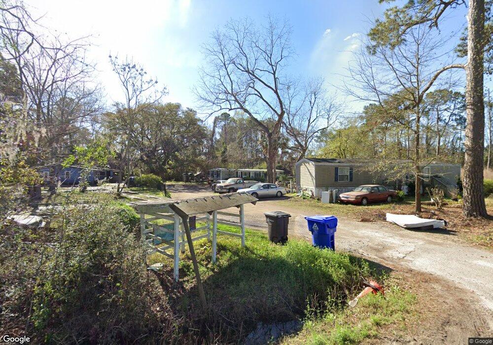
2243 Rifle Range Rd Mount Pleasant, SC 29466
Estimated Value: $549,000 - $1,506,000
--
Bed
--
Bath
--
Sq Ft
0.76
Acres
About This Home
This home is located at 2243 Rifle Range Rd, Mount Pleasant, SC 29466 and is currently estimated at $1,027,500. 2243 Rifle Range Rd is a home located in Charleston County with nearby schools including Jennie Moore Elementary School, Laing Middle School, and Wando High School.
Ownership History
Date
Name
Owned For
Owner Type
Purchase Details
Closed on
Mar 27, 2007
Sold by
Wright Joseph
Bought by
Washington Joseph E
Current Estimated Value
Create a Home Valuation Report for This Property
The Home Valuation Report is an in-depth analysis detailing your home's value as well as a comparison with similar homes in the area
Home Values in the Area
Average Home Value in this Area
Purchase History
| Date | Buyer | Sale Price | Title Company |
|---|---|---|---|
| Washington Joseph E | -- | None Available |
Source: Public Records
Tax History Compared to Growth
Tax History
| Year | Tax Paid | Tax Assessment Tax Assessment Total Assessment is a certain percentage of the fair market value that is determined by local assessors to be the total taxable value of land and additions on the property. | Land | Improvement |
|---|---|---|---|---|
| 2024 | $841 | $3,260 | $0 | $0 |
| 2023 | $841 | $2,170 | $0 | $0 |
| 2022 | $214 | $2,170 | $0 | $0 |
| 2021 | $234 | $2,170 | $0 | $0 |
| 2020 | $271 | $2,170 | $0 | $0 |
| 2019 | $242 | $1,890 | $0 | $0 |
| 2017 | $272 | $2,550 | $0 | $0 |
| 2016 | $259 | $2,550 | $0 | $0 |
| 2015 | $270 | $2,550 | $0 | $0 |
| 2014 | $230 | $0 | $0 | $0 |
| 2011 | -- | $0 | $0 | $0 |
Source: Public Records
Map
Nearby Homes
- 0 Rifle Range Rd Unit (Lot 2)
- 0 Rifle Range Rd Unit (Lot 1)
- 2336 Minifarm Way Unit 507
- 2284 Minifarm Way
- 2336 Minifarm Way
- 2276 Minifarm Way
- 3104 Sandy Pearl Way
- 3116 Sandy Pearl Way
- 0 N Rifle Range Rd Unit (Lot 1 & 2)
- 0 N Rifle Range Rd Unit 24028206
- 1509 W Palmetto Fort Dr
- Bridgeside Plan at Norwood Oaks
- 2242 Dewees Creek Dr
- 1515 N Lakeshore Dr
- 1494 N Lakeshore Dr
- Wando Plan at Liberty Hill Farm
- Hamlin Plan at Liberty Hill Farm
- Capers Plan at Liberty Hill Farm
- Copahee Plan at Liberty Hill Farm
- Kiawah Plan at Liberty Hill Farm
- 2237 Rifle Range Rd
- 0 Rifle Range Rd Unit 2518194
- 0 Rifle Range Rd Unit 2705354
- 0 Rifle Range Rd Unit 2800866
- 0 Rifle Range Rd Unit 2800871
- 0 Rifle Range Rd Unit 2821378
- 0 Rifle Range Rd Unit 2901774
- 0 Rifle Range Rd Unit 2917137
- 0 Rifle Range Rd Unit 1002449
- 0 Rifle Range Rd Unit 1002450
- 0 Rifle Range Rd Unit 1012087
- 0 Rifle Range Rd Unit 1109594
- 0 Rifle Range Rd Unit 1217640
- 0 Rifle Range Rd Unit 1325129
- 0 Rifle Range Rd Unit 14029803
- 0 Rifle Range Rd Unit 15020746
- 0 Rifle Range Rd Unit 15031600
- 0 Rifle Range Rd Unit 16017676
- 0 Rifle Range Rd Unit Lot 1 & 2 20004717
- 0 Rifle Range Rd Unit (Lot 1) 20004712