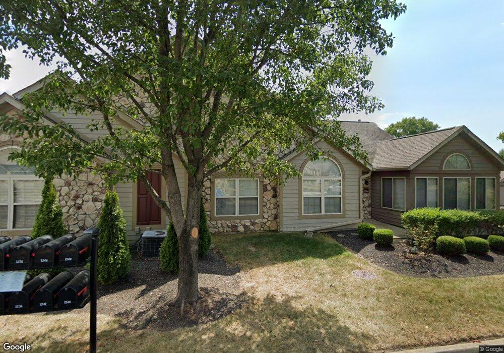
2244 William T Cir Lancaster, OH 43130
Estimated Value: $279,000 - $312,000
3
Beds
2
Baths
1,712
Sq Ft
$172/Sq Ft
Est. Value
About This Home
This home is located at 2244 William T Cir, Lancaster, OH 43130 and is currently estimated at $294,446, approximately $171 per square foot. 2244 William T Cir is a home located in Fairfield County with nearby schools including Medill Elementary School, Thomas Ewing Junior High School, and Lancaster High School.
Ownership History
Date
Name
Owned For
Owner Type
Purchase Details
Closed on
Mar 23, 2006
Sold by
Wasem Lewis E and Wasem Roberta M
Bought by
Wasem Lewis E and Wasem Roberta M
Current Estimated Value
Purchase Details
Closed on
Jan 31, 2003
Sold by
Dovel Ltd
Bought by
Wasem Lewis E and Wasem Roberta M
Home Financials for this Owner
Home Financials are based on the most recent Mortgage that was taken out on this home.
Original Mortgage
$123,000
Outstanding Balance
$53,369
Interest Rate
6.13%
Mortgage Type
New Conventional
Estimated Equity
$241,077
Create a Home Valuation Report for This Property
The Home Valuation Report is an in-depth analysis detailing your home's value as well as a comparison with similar homes in the area
Home Values in the Area
Average Home Value in this Area
Purchase History
| Date | Buyer | Sale Price | Title Company |
|---|---|---|---|
| Wasem Lewis E | -- | None Available | |
| Wasem Lewis E | $163,900 | -- |
Source: Public Records
Mortgage History
| Date | Status | Borrower | Loan Amount |
|---|---|---|---|
| Open | Wasem Lewis E | $123,000 |
Source: Public Records
Tax History Compared to Growth
Tax History
| Year | Tax Paid | Tax Assessment Tax Assessment Total Assessment is a certain percentage of the fair market value that is determined by local assessors to be the total taxable value of land and additions on the property. | Land | Improvement |
|---|---|---|---|---|
| 2024 | $6,797 | $75,610 | $11,760 | $63,850 |
| 2023 | $2,416 | $75,610 | $11,760 | $63,850 |
| 2022 | $2,442 | $75,610 | $11,760 | $63,850 |
| 2021 | $1,936 | $58,420 | $11,760 | $46,660 |
| 2020 | $1,855 | $58,420 | $11,760 | $46,660 |
| 2019 | $1,764 | $58,420 | $11,760 | $46,660 |
| 2018 | $1,653 | $52,960 | $11,760 | $41,200 |
| 2017 | $1,653 | $52,960 | $11,760 | $41,200 |
| 2016 | $1,610 | $52,960 | $11,760 | $41,200 |
| 2015 | $1,591 | $51,130 | $11,760 | $39,370 |
| 2014 | $1,515 | $51,130 | $11,760 | $39,370 |
| 2013 | $1,515 | $51,130 | $11,760 | $39,370 |
Source: Public Records
Map
Nearby Homes
- 706 Sherman Bluff Way Unit 1706
- 715 Sherman Bluff Way Unit 14715
- 1801 Pleasantview Dr NE
- 1916 Country Place
- 1700 Rosewood Dr NE
- 2149 Pleasantview Dr NE
- 173 Lakeview Dr NE
- 1189 Ridge Rd NE
- 0 Old Millersport Rd NE Unit Lot 10 225033491
- 0 Old Millersport Rd NE Unit 225010386
- 0 Old Millersport Rd NE Unit Tract 8 224028101
- 0 Declaration Dr W Unit 219044159
- 1760 Rainbow Dr NE
- 2444 Sheridan Dr
- 1523 Fuller Ct
- 1976 Breed Hill Ct
- 534 Overlook Dr NE
- 1669 Lexington Dr
- 0 Tschopp Rd NE Unit Lot 33 225027324
- 0 Tschopp Rd NE Unit Lot 17 225027320
- 2242 William T Cir Unit 42242
- 2248 William T Cir Unit 42248
- 2246 William T Cir
- 2252 William T Cir
- 2256 William T Cir Unit 32256
- 2233 William T Cir Unit 52233
- 2234 William T Cir Unit 62234
- 2254 William T Cir Unit 32254
- 2258 William T Cir Unit 32258
- 2238 William T Cir Unit 62238
- 2237 William T Cir Unit 52237
- 2231 William T Cir Unit 52231
- 2232 William T Cir
- 2236 William T Cir Unit 62236
- 2235 William T Cir Unit 52235
- 2070 William T Cir
- 2225 William T Cir
- 2261 William T Cir Unit 22261
- 2263 William T Cir Unit 22263
- 760 Carpico Dr NE