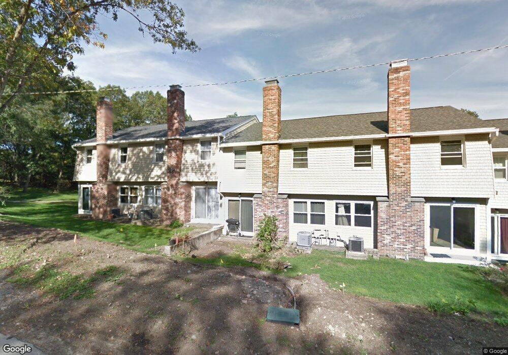
2245 Commonwealth Ave Unit 2245 Auburndale, MA 02466
Auburndale NeighborhoodEstimated Value: $836,000 - $1,022,000
2
Beds
3
Baths
2,022
Sq Ft
$447/Sq Ft
Est. Value
About This Home
This home is located at 2245 Commonwealth Ave Unit 2245, Auburndale, MA 02466 and is currently estimated at $904,165, approximately $447 per square foot. 2245 Commonwealth Ave Unit 2245 is a home located in Middlesex County with nearby schools including C.C. Burr, F.A. Day Middle School, and Newton North High School.
Ownership History
Date
Name
Owned For
Owner Type
Purchase Details
Closed on
Aug 8, 2017
Sold by
Mj Rt 2
Bought by
Choi Andrew P and Choi Tae K
Current Estimated Value
Home Financials for this Owner
Home Financials are based on the most recent Mortgage that was taken out on this home.
Original Mortgage
$556,500
Outstanding Balance
$463,603
Interest Rate
3.9%
Mortgage Type
New Conventional
Estimated Equity
$440,562
Purchase Details
Closed on
Nov 1, 1984
Bought by
Iodice Michael F
Create a Home Valuation Report for This Property
The Home Valuation Report is an in-depth analysis detailing your home's value as well as a comparison with similar homes in the area
Home Values in the Area
Average Home Value in this Area
Purchase History
| Date | Buyer | Sale Price | Title Company |
|---|---|---|---|
| Choi Andrew P | $636,500 | -- | |
| Iodice Michael F | $117,500 | -- |
Source: Public Records
Mortgage History
| Date | Status | Borrower | Loan Amount |
|---|---|---|---|
| Open | Choi Andrew P | $556,500 |
Source: Public Records
Tax History Compared to Growth
Tax History
| Year | Tax Paid | Tax Assessment Tax Assessment Total Assessment is a certain percentage of the fair market value that is determined by local assessors to be the total taxable value of land and additions on the property. | Land | Improvement |
|---|---|---|---|---|
| 2025 | $7,491 | $764,400 | $0 | $764,400 |
| 2024 | $7,243 | $742,100 | $0 | $742,100 |
| 2023 | $7,090 | $696,500 | $0 | $696,500 |
| 2022 | $6,978 | $663,300 | $0 | $663,300 |
| 2021 | $6,734 | $625,800 | $0 | $625,800 |
| 2020 | $6,533 | $625,800 | $0 | $625,800 |
| 2019 | $6,349 | $607,600 | $0 | $607,600 |
| 2018 | $5,385 | $497,700 | $0 | $497,700 |
| 2017 | $5,221 | $469,500 | $0 | $469,500 |
| 2016 | $4,994 | $438,800 | $0 | $438,800 |
| 2015 | $4,852 | $417,900 | $0 | $417,900 |
Source: Public Records
Map
Nearby Homes
- 2259 Commonwealth Ave
- 2202 Commonwealth Ave Unit 2
- 2202 Commonwealth Ave Unit 1
- 25 Johnson Place
- 219 Melrose St Unit 1
- 217 Melrose St Unit 217
- 187 Melrose St
- 17 Lasell St
- 27 Oakwood Rd
- 153 Hancock St
- 226 Auburn St Unit 226
- 224 Auburn St Unit 224
- 276 Lexington St
- 194 Auburn St
- 39 Hawthorne Ave
- 179 Auburn St
- 97 Hawthorne Ave
- 103 Loring Rd
- 228 Auburn St Unit B
- 228 Auburn St Unit 230
- 2271 Commonwealth Ave
- 2269 Commonwealth Ave
- 2265 Commonwealth Ave
- 2263 Commonwealth Ave
- 2261 Commonwealth Ave
- 2257 Commonwealth Ave
- 2255 Commonwealth Ave
- 2253 Commonwealth Ave
- 2251 Commonwealth Ave
- 2249 Commonwealth Ave
- 2247 Commonwealth Ave
- 2245 Commonwealth Ave
- 2243 Commonwealth Ave
- 2241 Commonwealth Ave
- 2239 Commonwealth Ave
- 2237 Commonwealth Ave
- 2235 Commonwealth Ave
- 2249 Commonwealth Ave Unit Townhouse
- 2239 Commonwealth Ave Unit 2239,2239
- 2243 Commonwealth Ave Unit 2243