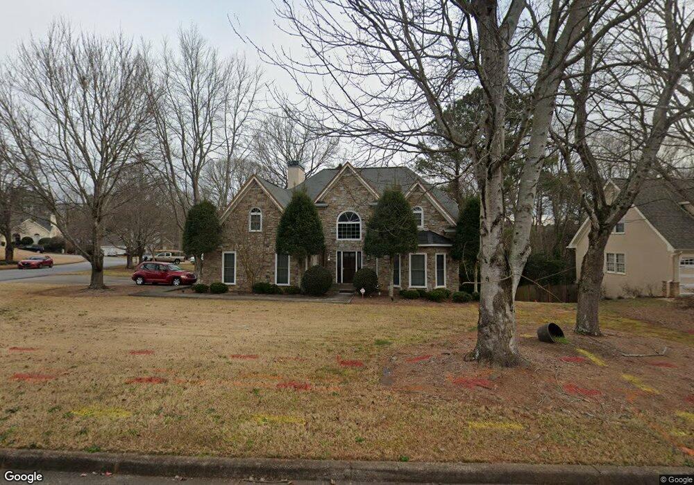
2245 Saint Thomas Way Unit 1 Suwanee, GA 30024
Estimated Value: $465,000 - $570,000
4
Beds
3
Baths
2,589
Sq Ft
$199/Sq Ft
Est. Value
About This Home
This home is located at 2245 Saint Thomas Way Unit 1, Suwanee, GA 30024 and is currently estimated at $515,016, approximately $198 per square foot. 2245 Saint Thomas Way Unit 1 is a home located in Gwinnett County with nearby schools including Walnut Grove Elementary School, Creekland Middle School, and Collins Hill High School.
Ownership History
Date
Name
Owned For
Owner Type
Purchase Details
Closed on
Aug 18, 1995
Sold by
Vandaveer John A Mary L
Bought by
Burnette Myron R Kathy
Current Estimated Value
Purchase Details
Closed on
Aug 3, 1993
Sold by
Hodges Seth R Norma
Bought by
Vandaveer John A Mary L
Home Financials for this Owner
Home Financials are based on the most recent Mortgage that was taken out on this home.
Original Mortgage
$123,100
Interest Rate
7.26%
Create a Home Valuation Report for This Property
The Home Valuation Report is an in-depth analysis detailing your home's value as well as a comparison with similar homes in the area
Home Values in the Area
Average Home Value in this Area
Purchase History
| Date | Buyer | Sale Price | Title Company |
|---|---|---|---|
| Burnette Myron R Kathy | $183,000 | -- | |
| Vandaveer John A Mary L | $153,900 | -- |
Source: Public Records
Mortgage History
| Date | Status | Borrower | Loan Amount |
|---|---|---|---|
| Previous Owner | Vandaveer John A Mary L | $123,100 |
Source: Public Records
Tax History Compared to Growth
Tax History
| Year | Tax Paid | Tax Assessment Tax Assessment Total Assessment is a certain percentage of the fair market value that is determined by local assessors to be the total taxable value of land and additions on the property. | Land | Improvement |
|---|---|---|---|---|
| 2025 | $5,268 | $209,920 | $28,000 | $181,920 |
| 2024 | $5,402 | $208,920 | $34,000 | $174,920 |
| 2023 | $5,402 | $198,360 | $31,600 | $166,760 |
| 2022 | $4,908 | $186,400 | $29,200 | $157,200 |
| 2021 | $3,733 | $126,440 | $20,200 | $106,240 |
| 2020 | $3,762 | $126,440 | $20,200 | $106,240 |
| 2019 | $3,682 | $126,440 | $20,200 | $106,240 |
| 2018 | $3,636 | $123,960 | $17,200 | $106,760 |
| 2016 | $3,128 | $99,440 | $14,440 | $85,000 |
| 2015 | $2,892 | $87,640 | $12,400 | $75,240 |
| 2014 | $2,892 | $87,640 | $12,400 | $75,240 |
Source: Public Records
Map
Nearby Homes
- 2370 Cape Courage Way
- 2372 Merrymount Dr Unit 2
- 2167 Merrymount Dr
- 2265 Wildwood Lake Dr
- 2140 Wildcat Cliffs Way
- 2061 Wildcat Cliffs Ln
- 205 Camden Creek Ct
- 232 Clarion Rd
- 2205 Parliament Dr
- 2512 Herndon Rd
- 332 Clarion Rd
- 1924 Sidneys Cove
- 2315 Prosperity Way Unit 2
- 2155 Parliament Dr
- 2610 Ashbourne Dr
- 2067 York River Way
- 1839 Stonebrook Way
- 2140 Deer Trail
- 2615 Ashbourne Dr NE
- 2500 Ashbourne Dr
- 2235 Saint Thomas Way Unit 1
- 47 Saint Aurics Dr Unit 2
- 53 Saint Aurics Dr Unit 2
- 135 Richland Pkwy
- 37 Saint Aurics Dr Unit 3
- 65 Saint Aurics Dr Unit 2
- 2240 Saint Thomas Way
- 2230 Saint Thomas Way Unit 1
- 50 Saint Aurics Dr Unit 2
- 2215 Saint Thomas Way Unit 1
- 56 Saint Aurics Dr
- 31 Saint Aurics Dr Unit 2
- 145 Richland Pkwy
- 71 Saint Aurics Dr Unit 2
- 44 Saint Aurics Dr
- 2210 Saint Thomas Way
- 38 Saint Aurics Dr
- 2205 Saint Thomas Way Unit 2205
- 2205 Saint Thomas Way Unit 1
- 2205 Saint Thomas Way