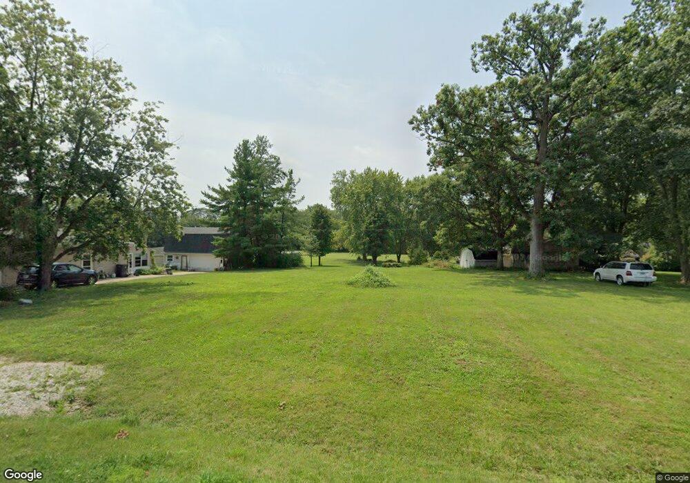
2245 Thunderbird Dr Decatur, IL 62526
Estimated Value: $22,386 - $162,000
Studio
2
Baths
500
Sq Ft
$188/Sq Ft
Est. Value
About This Home
This home is located at 2245 Thunderbird Dr, Decatur, IL 62526 and is currently estimated at $93,847, approximately $187 per square foot. 2245 Thunderbird Dr is a home located in Macon County with nearby schools including Warrensburg-Latham Elementary School, Warrensburg-Latham Middle School, and Warrensburg-Latham High School.
Ownership History
Date
Name
Owned For
Owner Type
Purchase Details
Closed on
May 19, 2023
Sold by
Vanfleet Danny L and Vanfleet Jodi L
Bought by
Finke Brent A and Finke Julie R
Current Estimated Value
Home Financials for this Owner
Home Financials are based on the most recent Mortgage that was taken out on this home.
Original Mortgage
$15,600
Outstanding Balance
$15,157
Interest Rate
6.28%
Mortgage Type
Construction
Estimated Equity
$78,690
Purchase Details
Closed on
Jun 1, 2004
Create a Home Valuation Report for This Property
The Home Valuation Report is an in-depth analysis detailing your home's value as well as a comparison with similar homes in the area
Purchase History
| Date | Buyer | Sale Price | Title Company |
|---|---|---|---|
| Finke Brent A | -- | None Listed On Document | |
| Finke Brent A | -- | None Listed On Document | |
| -- | $199,000 | -- |
Source: Public Records
Mortgage History
| Date | Status | Borrower | Loan Amount |
|---|---|---|---|
| Open | Finke Brent A | $15,600 | |
| Closed | Finke Brent A | $15,600 |
Source: Public Records
Tax History Compared to Growth
Tax History
| Year | Tax Paid | Tax Assessment Tax Assessment Total Assessment is a certain percentage of the fair market value that is determined by local assessors to be the total taxable value of land and additions on the property. | Land | Improvement |
|---|---|---|---|---|
| 2024 | $951 | $9,890 | $9,890 | $0 |
| 2023 | $888 | $9,092 | $9,092 | $0 |
| 2022 | $845 | $8,433 | $8,433 | $0 |
| 2021 | $4,117 | $50,865 | $7,885 | $42,980 |
| 2020 | $5,895 | $70,857 | $7,722 | $63,135 |
| 2019 | $5,895 | $70,857 | $7,722 | $63,135 |
| 2018 | $4,961 | $71,363 | $7,777 | $63,586 |
| 2017 | $5,001 | $71,043 | $7,742 | $63,301 |
| 2016 | $5,080 | $71,214 | $7,761 | $63,453 |
| 2015 | $4,954 | $70,370 | $7,669 | $62,701 |
| 2014 | $4,536 | $70,370 | $7,669 | $62,701 |
| 2013 | $4,352 | $65,242 | $7,110 | $58,132 |
Source: Public Records
Map
Nearby Homes
- 2127 Riedel Ave
- 1487 W Glenn Dr
- 1450 Riedel Ave
- 2320 N Kenwood Ct
- 2281 N Summit Ave
- 3741 N Bearsdale Rd
- 1929 W Ravina Park Rd
- 1607 W Melrose Ct
- 3321 N Oakland Ave
- 1720 W Ravina Park Rd
- 2124 Home Park Ave
- 1110 Woodridge Ct
- 2105 N Summit Ave
- 1225 W Pineview Ct
- 3707 N Woodridge Dr
- 2452 W Florian Ct
- 1950 Barding Ave
- 2094 N Dennis Ave
- 1680 Home Park Ave
- 2306 Yorkshire Dr
- 2233 Thunderbird Dr
- 2250 Thunderbird Dr
- 2255 Thunderbird Dr
- 2254 Thunderbird Dr
- 2240 Thunderbird Dr
- 3191 Las Vegas Dr
- 2223 Thunderbird Dr
- 3220 Las Vegas Dr
- 3223 Desert Inn Rd
- 3205 Las Vegas Dr
- 3222 Desert Inn Rd
- 3226 Desert Inn Rd
- 2255 Frontier Rd
- 2239 Frontier Rd
- 3221 Las Vegas Dr
- 3155 N Westlawn Ave
- 3290 Las Vegas Dr
- 2315 Thunderbird Dr
- 3135 N Westlawn Ave
- 3200 Desert Inn Rd
