2246 Laurel Oak Dr Unit 292 Howell, MI 48855
Estimated Value: $352,410 - $404,000
--
Bed
2
Baths
2,039
Sq Ft
$187/Sq Ft
Est. Value
About This Home
This home is located at 2246 Laurel Oak Dr Unit 292, Howell, MI 48855 and is currently estimated at $380,603, approximately $186 per square foot. 2246 Laurel Oak Dr Unit 292 is a home located in Livingston County with nearby schools including Ruahmah J. Hutchings Elementary, Parker Middle School, and Howell High School.
Ownership History
Date
Name
Owned For
Owner Type
Purchase Details
Closed on
May 3, 2019
Sold by
Henry Ronald W and Chen Gracey Y
Bought by
Henry Ronald W and Chen Grace Y
Current Estimated Value
Purchase Details
Closed on
Jan 5, 2000
Sold by
Majestic Master Builders Inc
Bought by
Henry Ronald William and Chen Grace Yi
Home Financials for this Owner
Home Financials are based on the most recent Mortgage that was taken out on this home.
Original Mortgage
$130,900
Interest Rate
7.37%
Create a Home Valuation Report for This Property
The Home Valuation Report is an in-depth analysis detailing your home's value as well as a comparison with similar homes in the area
Home Values in the Area
Average Home Value in this Area
Purchase History
| Date | Buyer | Sale Price | Title Company |
|---|---|---|---|
| Henry Ronald W | -- | -- | |
| Henry Ronald William | $205,900 | American Title Co |
Source: Public Records
Mortgage History
| Date | Status | Borrower | Loan Amount |
|---|---|---|---|
| Previous Owner | Henry Ronald William | $130,900 |
Source: Public Records
Tax History Compared to Growth
Tax History
| Year | Tax Paid | Tax Assessment Tax Assessment Total Assessment is a certain percentage of the fair market value that is determined by local assessors to be the total taxable value of land and additions on the property. | Land | Improvement |
|---|---|---|---|---|
| 2025 | $1,682 | $176,200 | $0 | $0 |
| 2024 | $1,634 | $171,900 | $0 | $0 |
| 2023 | $1,561 | $154,200 | $0 | $0 |
| 2022 | $2,138 | $128,300 | $0 | $0 |
| 2021 | $2,138 | $137,400 | $0 | $0 |
| 2020 | $2,138 | $128,300 | $0 | $0 |
| 2019 | $2,107 | $117,600 | $0 | $0 |
| 2018 | $2,081 | $110,300 | $0 | $0 |
| 2017 | $2,054 | $106,800 | $0 | $0 |
| 2016 | $2,043 | $102,600 | $0 | $0 |
| 2014 | $2,243 | $86,800 | $0 | $0 |
| 2012 | $2,243 | $80,100 | $0 | $0 |
Source: Public Records
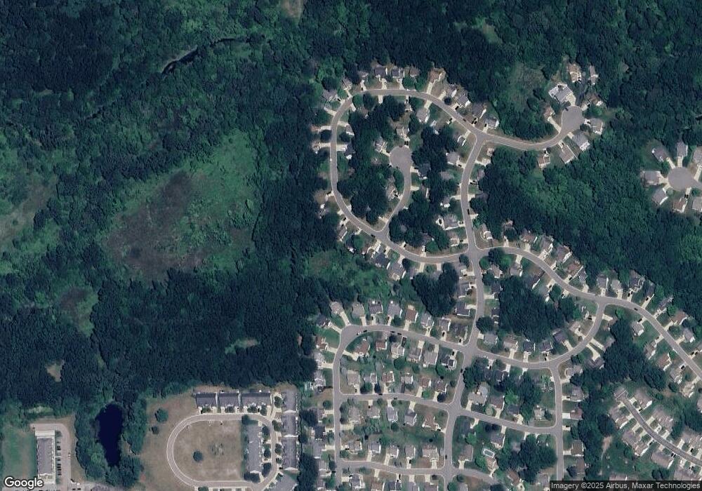
Map
Nearby Homes
- 2511 Kerria Dr Unit 42
- 1570 Princewood Blvd
- 2643 Kerria Dr Unit 65
- 1400 Oakcrest Rd
- 1633 Frech Ln
- 0 Eager Unit 293099
- 2830 Bonny Brook Dr Unit 3
- VACANT LOT Thompson Shore Dr
- 2485 Wellington Dr
- 2500 Fisher Rd
- 3040 Bogues View Dr
- 559 Cannonade Loop
- 475 Cannonade Loop
- 304 Victoria Park Dr Unit 45
- The Austin Plan at Broadmoor
- The Charlotte Plan at Broadmoor
- The Harrison Plan at Broadmoor
- The Bloomington Plan at Broadmoor
- The Columbia Plan at Broadmoor
- 571 Cannonade Loop
- 2234 Laurel Oak Dr
- 2258 Laurel Oak Dr Unit 293
- 2270 Laurel Oak Dr Unit 294
- 2096 Saddle Ridge Ct Unit 266
- 2222 Laurel Oak Dr Unit 290
- 2219 Laurel Oak Dr Unit 267
- 2282 Laurel Oak Dr
- 2210 Laurel Oak Dr Unit 289
- 2277 Laurel Oak Dr Unit 257
- 2074 Saddle Ridge Ct Unit 265
- 2207 Laurel Oak Dr Unit 268
- 2415 Hickory Circle Dr Unit 108
- 2427 Hickory Circle Dr Unit 110
- 2421 Hickory Circle Dr Unit 109
- 2294 Laurel Oak Dr Unit 296
- 2087 Saddle Ridge Ct Unit 258
- 2301 Laurel Oak Dr Unit 256
- 2433 Hickory Circle Dr Unit 111
- 2066 Saddle Ridge Ct Unit 264
- 2409 Hickory Circle Dr