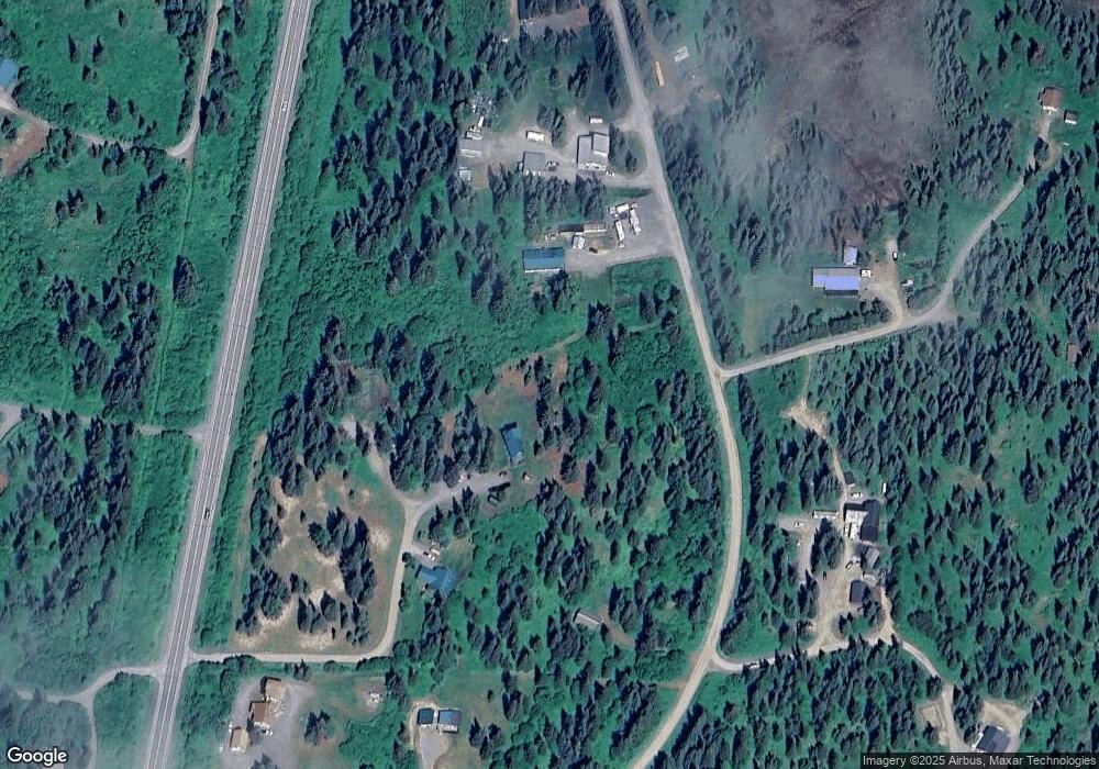
22462 Brianne Cir Ninilchik, AK 99639
Estimated Value: $224,000 - $332,000
3
Beds
2
Baths
1,672
Sq Ft
$165/Sq Ft
Est. Value
About This Home
This home is located at 22462 Brianne Cir, Ninilchik, AK 99639 and is currently estimated at $275,784, approximately $164 per square foot. 22462 Brianne Cir is a home located in Kenai Peninsula Borough with nearby schools including Ninilchik School.
Ownership History
Date
Name
Owned For
Owner Type
Purchase Details
Closed on
Sep 15, 2010
Sold by
Swanson Deborah M
Bought by
Belden Karl and Belden Tamara
Current Estimated Value
Home Financials for this Owner
Home Financials are based on the most recent Mortgage that was taken out on this home.
Original Mortgage
$169,000
Outstanding Balance
$111,653
Interest Rate
4.45%
Mortgage Type
Seller Take Back
Estimated Equity
$164,131
Create a Home Valuation Report for This Property
The Home Valuation Report is an in-depth analysis detailing your home's value as well as a comparison with similar homes in the area
Home Values in the Area
Average Home Value in this Area
Purchase History
| Date | Buyer | Sale Price | Title Company |
|---|---|---|---|
| Belden Karl | -- | None Available |
Source: Public Records
Mortgage History
| Date | Status | Borrower | Loan Amount |
|---|---|---|---|
| Open | Belden Karl | $169,000 |
Source: Public Records
Tax History Compared to Growth
Tax History
| Year | Tax Paid | Tax Assessment Tax Assessment Total Assessment is a certain percentage of the fair market value that is determined by local assessors to be the total taxable value of land and additions on the property. | Land | Improvement |
|---|---|---|---|---|
| 2025 | $2,126 | $223,300 | $24,300 | $199,000 |
| 2024 | $2,126 | $206,200 | $21,300 | $184,900 |
| 2023 | $2,101 | $195,100 | $17,800 | $177,300 |
| 2022 | $2,125 | $191,600 | $17,800 | $173,800 |
| 2021 | $1,210 | $192,900 | $17,200 | $175,700 |
| 2020 | $1,628 | $195,200 | $17,200 | $178,000 |
| 2019 | $1,649 | $196,300 | $21,500 | $174,800 |
| 2018 | $1,210 | $144,100 | $21,500 | $122,600 |
| 2017 | $1,195 | $145,700 | $21,500 | $124,200 |
| 2016 | -- | $141,100 | $21,500 | $119,600 |
| 2015 | $1,261 | $120,000 | $21,500 | $98,500 |
| 2014 | $1,261 | $126,000 | $21,500 | $104,500 |
Source: Public Records
Map
Nearby Homes
- L9 Shegota Loop
- L10 Shegota Loop
- L5 Shegota Loop
- L5-10 Shegota Loop
- L8 Shegota Loop
- L7 Shegota Loop
- L6 Shegota Loop
- 22325 Sterling Hwy
- 68650 Homestead Rd
- 67212 Homestead Rd
- 67935 Sunshine Dr
- 68395 Kensington Ave
- 22512 Lowell St
- 21572 Twilight St
- Tr 33 Panther St
- 24075 Colleen Ct
- 24220 Sterling Hwy
- 68404 Leopold Ave
- 68330 Creekwoods Ave
- 25850 Stinkbug St
- 22462 Bri Cir
- 22550 Sterling Hwy
- 22301 Shegota Loop
- 22501 Shegota Loop
- 00000 Shegota Loop
- 22490 Bri Cir
- 24410 Bri Cir
- 22255 Shegota Loop
- 22400 Arbob Ct
- 22579 Shegota Loop
- 22205 Shegota Loop
- 22576 Sterling Hwy
- 22535 Sterling Hwy
- 22584 Shegota Loop
- 22336 Arbob Ct
- L6 Sterling Hwy Mi 143
- 22465 Sterling Hwy
- L3 Sterling Hwy Mi 143
- L2 Sterling Hwy Mi 143
- L4 Sterling Hwy Mi 143
