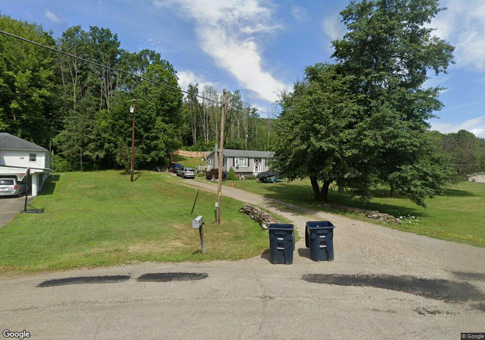
2247 Old Caton Rd Corning, NY 14830
Estimated Value: $178,000 - $245,000
4
Beds
3
Baths
1,386
Sq Ft
$156/Sq Ft
Est. Value
About This Home
This home is located at 2247 Old Caton Rd, Corning, NY 14830 and is currently estimated at $216,731, approximately $156 per square foot. 2247 Old Caton Rd is a home located in Steuben County with nearby schools including Frederick Carder Elementary School, Corning-Painted Post Middle School, and Corning-Painted Post High School.
Ownership History
Date
Name
Owned For
Owner Type
Purchase Details
Closed on
Oct 28, 2016
Sold by
Galligan Joseph P
Bought by
Black Martin P
Current Estimated Value
Home Financials for this Owner
Home Financials are based on the most recent Mortgage that was taken out on this home.
Original Mortgage
$89,600
Outstanding Balance
$71,222
Interest Rate
3.5%
Mortgage Type
Adjustable Rate Mortgage/ARM
Estimated Equity
$145,509
Purchase Details
Closed on
Jul 2, 1998
Purchase Details
Closed on
Sep 15, 1997
Purchase Details
Closed on
Aug 6, 1996
Create a Home Valuation Report for This Property
The Home Valuation Report is an in-depth analysis detailing your home's value as well as a comparison with similar homes in the area
Home Values in the Area
Average Home Value in this Area
Purchase History
| Date | Buyer | Sale Price | Title Company |
|---|---|---|---|
| Black Martin P | $116,000 | Stephen V. Rossettie | |
| -- | $55,000 | -- | |
| -- | $67,333 | -- | |
| -- | -- | -- |
Source: Public Records
Mortgage History
| Date | Status | Borrower | Loan Amount |
|---|---|---|---|
| Open | Black Martin P | $89,600 |
Source: Public Records
Tax History Compared to Growth
Tax History
| Year | Tax Paid | Tax Assessment Tax Assessment Total Assessment is a certain percentage of the fair market value that is determined by local assessors to be the total taxable value of land and additions on the property. | Land | Improvement |
|---|---|---|---|---|
| 2024 | $5,328 | $164,000 | $20,800 | $143,200 |
| 2023 | $5,378 | $164,000 | $20,800 | $143,200 |
| 2022 | $5,254 | $164,000 | $20,800 | $143,200 |
| 2021 | $4,993 | $137,500 | $20,800 | $116,700 |
| 2020 | $3,244 | $137,500 | $20,800 | $116,700 |
| 2019 | $4,967 | $137,500 | $20,800 | $116,700 |
| 2018 | $4,967 | $137,500 | $20,800 | $116,700 |
| 2017 | $4,668 | $116,700 | $21,000 | $95,700 |
| 2016 | $3,928 | $116,700 | $21,000 | $95,700 |
| 2015 | -- | $116,700 | $21,000 | $95,700 |
| 2014 | -- | $116,700 | $21,000 | $95,700 |
Source: Public Records
Map
Nearby Homes
- 2085 Caton Rd
- 2602-2606 Bailey Creek Rd
- 0 Davis Rd
- 2497 Caton Rd
- 2789 Bailey Creek Rd
- 0 Caton Rd Unit R1640864
- 0 Caton Rd Unit R1637646
- 31 Caton Rd
- 19 S Maple St
- 10614 Skyline Dr
- 11 Caton Rd
- 10493 Skyline Dr
- 33-35 Roberts Ave
- 11357 River Rd
- 1653 Caton Rd
- 53 Mcmahon Ave
- 51 Mcmahon Ave
- 1860 Whiskey Creek Rd
- 171 Upper Delevan Ave
- 1594 Thurber Rd
- 2265 Caton Rd
- 2245 Old Caton Rd
- 0 Caton Road State Route 225 Unit EC260825
- 2235 Old Caton Rd
- 2287 Caton Rd
- 2227 Old Caton Rd
- 2291 Caton Rd
- 2225 Old Caton Rd
- 2213 Caton Rd
- 2141 Caton Rd
- 2648 Davis Rd
- 2670 Davis Rd
- 2582 Davis Rd
- 2353 Caton Rd
- 2448 Davis Rd
- 2675 Davis Rd
- 2571 Davis Rd
- 2700 Davis Rd
- 2370 Caton Rd
- 2363 Caton Rd