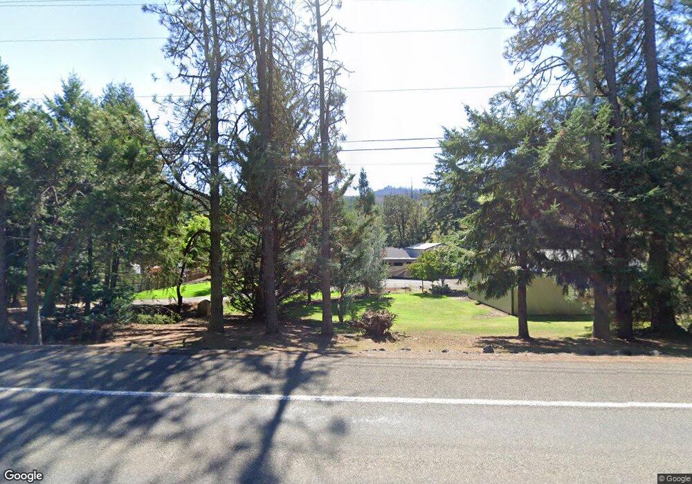
22473 N Umpqua Hwy Glide, OR 97443
Glide NeighborhoodEstimated Value: $550,000 - $914,000
3
Beds
2
Baths
1,707
Sq Ft
$405/Sq Ft
Est. Value
About This Home
This home is located at 22473 N Umpqua Hwy, Glide, OR 97443 and is currently estimated at $691,053, approximately $404 per square foot. 22473 N Umpqua Hwy is a home located in Douglas County with nearby schools including Glide Elementary School, Glide Middle School, and Glide High School.
Ownership History
Date
Name
Owned For
Owner Type
Purchase Details
Closed on
Nov 8, 2007
Sold by
Halbert Nancy A
Bought by
The Nancy A Halbert 2007 Revocable Trust
Current Estimated Value
Purchase Details
Closed on
Sep 30, 2005
Sold by
Arnold Jerry K and Arnold Nancy D
Bought by
Halbert Donald F and Halbert Nancy A
Home Financials for this Owner
Home Financials are based on the most recent Mortgage that was taken out on this home.
Original Mortgage
$230,000
Outstanding Balance
$120,900
Interest Rate
5.67%
Mortgage Type
Unknown
Estimated Equity
$570,153
Create a Home Valuation Report for This Property
The Home Valuation Report is an in-depth analysis detailing your home's value as well as a comparison with similar homes in the area
Home Values in the Area
Average Home Value in this Area
Purchase History
| Date | Buyer | Sale Price | Title Company |
|---|---|---|---|
| The Nancy A Halbert 2007 Revocable Trust | -- | None Available | |
| Halbert Donald F | $330,000 | Amerititle Inc |
Source: Public Records
Mortgage History
| Date | Status | Borrower | Loan Amount |
|---|---|---|---|
| Open | Halbert Donald F | $230,000 |
Source: Public Records
Tax History Compared to Growth
Tax History
| Year | Tax Paid | Tax Assessment Tax Assessment Total Assessment is a certain percentage of the fair market value that is determined by local assessors to be the total taxable value of land and additions on the property. | Land | Improvement |
|---|---|---|---|---|
| 2025 | $3,887 | $432,966 | -- | -- |
| 2024 | $3,762 | $420,356 | -- | -- |
| 2023 | $3,674 | $408,113 | $0 | $0 |
| 2022 | $3,480 | $396,227 | $0 | $0 |
| 2021 | $3,469 | $384,687 | $0 | $0 |
| 2020 | $3,393 | $373,483 | $0 | $0 |
| 2019 | $3,315 | $362,605 | $0 | $0 |
| 2018 | $3,206 | $352,044 | $0 | $0 |
| 2017 | $2,978 | $341,791 | $0 | $0 |
| 2016 | $3,018 | $337,642 | $0 | $0 |
| 2015 | $2,906 | $327,808 | $0 | $0 |
| 2014 | $2,733 | $300,102 | $0 | $0 |
| 2013 | -- | $291,362 | $0 | $0 |
Source: Public Records
Map
Nearby Homes
- 283 Upper Terrace Ln
- 130 Terrace Dr
- 173 Park St
- 298 Grandview St
- 1070 Mystic Mountain Ln
- 485 Brown St
- 123 Mountain View
- 713 Little River Rd
- 3387 Wild River Dr
- 369 Upper Camp Loop Rd
- 900 Old Cabin Dr
- 1884 Wild River Dr
- 121 Wild Goose Ln
- 400 Newbridge Rd
- 1424 Cavitt Creek Rd
- 606 Whistlers Ln
- 14115 N Bank Rd
- 13767 N Bank Rd
- 8738 Buckhorn Rd
- 2665 Whistlers Park Rd
- 22479 N Umpqua Hwy
- 22441 N Umpqua Hwy
- 22547 N Umpqua Hwy
- 36 Ashwood Ln
- 24 Ashwood Ln
- 22 Ashwood Ln
- 27 Ashwood Ln
- 25 Oakwood Ln
- 2 Noblewood Ln
- 20 Oakwood Ln
- 18 Ashwood Ln
- 4 Noblewood Ln
- 22607 N Umpqua Hwy
- 3 Gumwood Ln
- 2081 Lone Rock Rd
- 26 Ashwood Ln
- 22640 N Umpqua Hwy
- 22640 N North Umpqua Hwy
- 22630 N Umpqua Hwy
- 2121 Lone Rock Rd