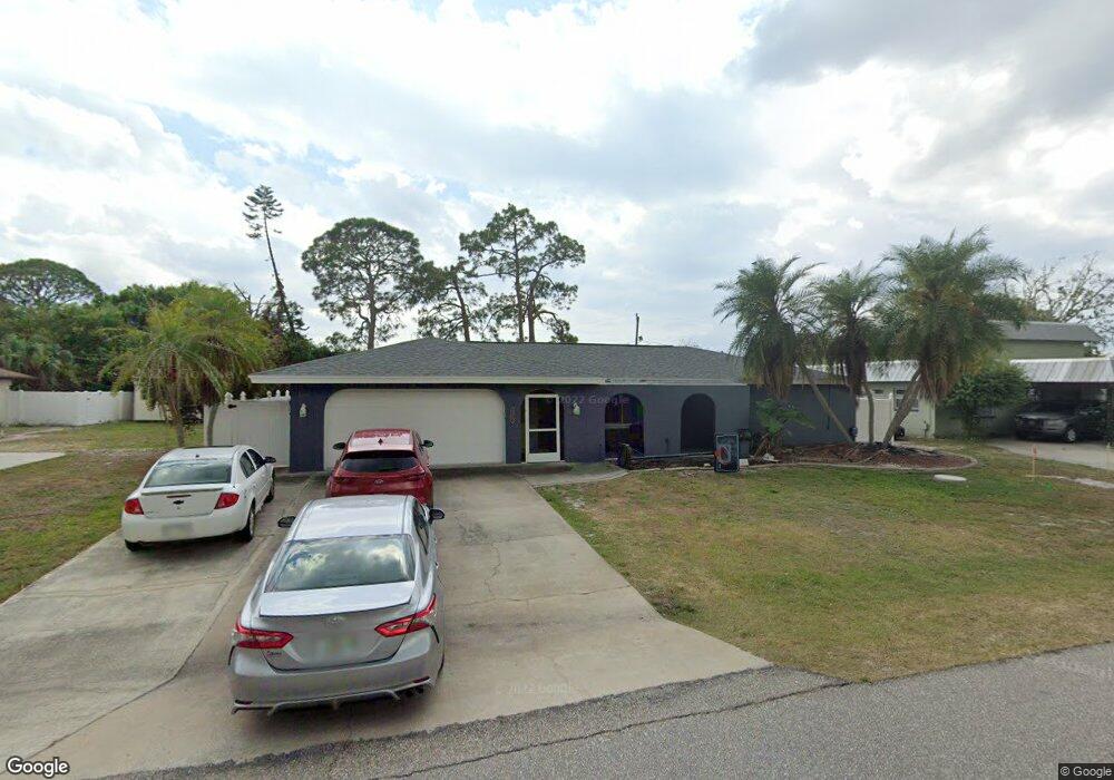
22473 Oceanside Ave Port Charlotte, FL 33952
Estimated Value: $335,105 - $387,000
3
Beds
2
Baths
3,158
Sq Ft
$113/Sq Ft
Est. Value
About This Home
This home is located at 22473 Oceanside Ave, Port Charlotte, FL 33952 and is currently estimated at $357,026, approximately $113 per square foot. 22473 Oceanside Ave is a home located in Charlotte County with nearby schools including Peace River Elementary School, Port Charlotte Middle School, and Charlotte High School.
Ownership History
Date
Name
Owned For
Owner Type
Purchase Details
Closed on
May 7, 2015
Sold by
Wright Larry H and Wright Sheila L
Bought by
Nicholson Catherine M
Current Estimated Value
Home Financials for this Owner
Home Financials are based on the most recent Mortgage that was taken out on this home.
Original Mortgage
$174,704
Outstanding Balance
$134,292
Interest Rate
3.62%
Mortgage Type
FHA
Estimated Equity
$222,734
Purchase Details
Closed on
Mar 27, 2009
Sold by
Parsons Carole A and Martin Helen O
Bought by
Wright Larry H and Wright Sheila L
Purchase Details
Closed on
Mar 2, 2007
Sold by
Martin Helen O and Martin Edward R
Bought by
Martin Helen O and Parson Carole A
Purchase Details
Closed on
Jul 1, 2002
Sold by
Schnider Eloise Popovich and Schneider Franz
Bought by
Martin Helen O and Parsons Carole A
Create a Home Valuation Report for This Property
The Home Valuation Report is an in-depth analysis detailing your home's value as well as a comparison with similar homes in the area
Home Values in the Area
Average Home Value in this Area
Purchase History
| Date | Buyer | Sale Price | Title Company |
|---|---|---|---|
| Nicholson Catherine M | $178,000 | Hometown Title & Closing Ser | |
| Wright Larry H | $110,000 | Gulfcoast Title | |
| Martin Helen O | -- | Attorney | |
| Martin Helen O | -- | -- | |
| Martin Helen O | $160,000 | -- |
Source: Public Records
Mortgage History
| Date | Status | Borrower | Loan Amount |
|---|---|---|---|
| Open | Nicholson Catherine M | $174,704 |
Source: Public Records
Tax History Compared to Growth
Tax History
| Year | Tax Paid | Tax Assessment Tax Assessment Total Assessment is a certain percentage of the fair market value that is determined by local assessors to be the total taxable value of land and additions on the property. | Land | Improvement |
|---|---|---|---|---|
| 2023 | $2,640 | $160,967 | $0 | $0 |
| 2022 | $2,537 | $156,279 | $0 | $0 |
| 2021 | $2,528 | $151,727 | $0 | $0 |
| 2020 | $2,476 | $149,632 | $0 | $0 |
| 2019 | $2,381 | $146,268 | $0 | $0 |
| 2018 | $2,192 | $143,541 | $0 | $0 |
| 2017 | $2,168 | $140,589 | $0 | $0 |
| 2016 | $2,154 | $137,697 | $0 | $0 |
| 2015 | $2,497 | $115,244 | $0 | $0 |
| 2014 | -- | $104,767 | $0 | $0 |
Source: Public Records
Map
Nearby Homes
- 22480 Oceanside Ave
- 22457 Oceanside Ave
- 22465 Lewiston Ave
- 22448 Lacombe Ave
- 22400 Lacombe Ave
- 3090 Lockwood St
- 23108 & 23116 Olean Blvd
- 22348 Olean Blvd
- 22337 Olean Blvd
- 22309 Nyack Ave
- 3122 Scranton St
- 22381 Nyack Ave
- 22516 Ashton Ave
- 2500 Aquilos Ct
- 23088 Allen Ave
- 23103 Wilkinson Ave
- 23104 Rountree Ave
- 22357 Nyack Ave
- 3247 Glencove St
- 2433 Beacon Dr
- 22465 Oceanside Ave
- 3083 Beacon Dr
- 22472 Lewiston Ave
- 22464 Lewiston Ave
- 22480 Lewiston Ave
- 22472 Oceanside Ave
- 22488 Oceanside Ave
- 22464 Oceanside Ave
- 22488 Lewiston Ave
- 22456 Lewiston Ave
- 22456 Oceanside Ave
- 22449 Oceanside Ave
- 22448 Oceanside Ave
- 22473 Lewiston Ave
- 22471 New York Ave
- 22481 Lewiston Ave
- 22455 New York Ave
- 3082 Beacon Dr
- 22447 New York Ave
- 22489 Lewiston Ave