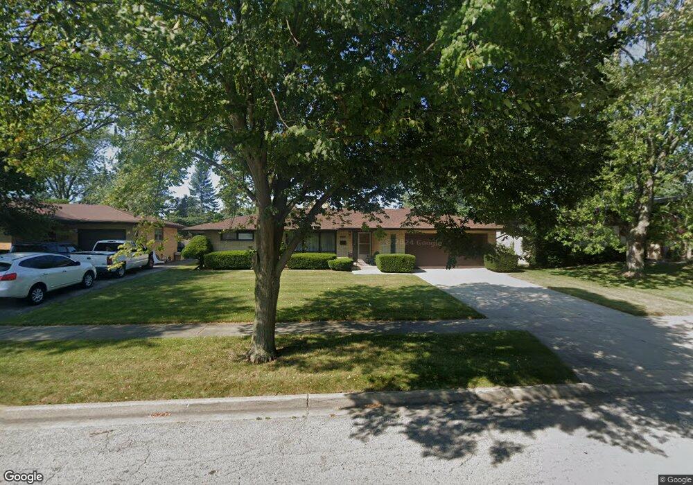
2248 Pearsall Pkwy Waukegan, IL 60085
Norshore Park NeighborhoodEstimated Value: $263,000 - $300,000
3
Beds
2
Baths
1,392
Sq Ft
$203/Sq Ft
Est. Value
About This Home
This home is located at 2248 Pearsall Pkwy, Waukegan, IL 60085 and is currently estimated at $282,421, approximately $202 per square foot. 2248 Pearsall Pkwy is a home located in Lake County with nearby schools including Clearview Elementary School, John R Lewis Middle School, and Waukegan High School.
Ownership History
Date
Name
Owned For
Owner Type
Purchase Details
Closed on
Jun 30, 2003
Sold by
Declaration Donohue Therese J and Declaration Josephine J Cankar
Bought by
White Myrtle G
Current Estimated Value
Home Financials for this Owner
Home Financials are based on the most recent Mortgage that was taken out on this home.
Original Mortgage
$172,562
Outstanding Balance
$73,917
Interest Rate
5.36%
Mortgage Type
FHA
Estimated Equity
$208,504
Purchase Details
Closed on
Apr 18, 1995
Sold by
Cankar Frank J and Cankar Josephine J
Bought by
Cankar Josephine J
Create a Home Valuation Report for This Property
The Home Valuation Report is an in-depth analysis detailing your home's value as well as a comparison with similar homes in the area
Home Values in the Area
Average Home Value in this Area
Purchase History
| Date | Buyer | Sale Price | Title Company |
|---|---|---|---|
| White Myrtle G | $175,000 | First American Title Insuran | |
| Cankar Josephine J | -- | -- |
Source: Public Records
Mortgage History
| Date | Status | Borrower | Loan Amount |
|---|---|---|---|
| Open | White Myrtle G | $172,562 |
Source: Public Records
Tax History Compared to Growth
Tax History
| Year | Tax Paid | Tax Assessment Tax Assessment Total Assessment is a certain percentage of the fair market value that is determined by local assessors to be the total taxable value of land and additions on the property. | Land | Improvement |
|---|---|---|---|---|
| 2024 | $4,623 | $75,935 | $15,869 | $60,066 |
| 2023 | $4,568 | $65,029 | $13,590 | $51,439 |
| 2022 | $4,568 | $57,723 | $11,786 | $45,937 |
| 2021 | $4,819 | $57,219 | $11,683 | $45,536 |
| 2020 | $4,796 | $53,306 | $10,884 | $42,422 |
| 2019 | $4,730 | $48,846 | $9,973 | $38,873 |
| 2018 | $4,907 | $44,335 | $12,832 | $31,503 |
| 2017 | $4,726 | $39,224 | $11,353 | $27,871 |
| 2016 | $4,340 | $34,084 | $9,865 | $24,219 |
| 2015 | $4,139 | $30,505 | $8,829 | $21,676 |
| 2014 | $4,205 | $30,395 | $8,765 | $21,630 |
| 2012 | $5,432 | $32,929 | $9,496 | $23,433 |
Source: Public Records
Map
Nearby Homes
- 819 S Fulton Ave
- 1712 11th St
- 12601 W Atlantic Ave
- 2116 & 2101 Williamsburg Dr
- 2726 W Hidden Glen Dr
- 3027 Belvidere Rd
- 671 Oldsmar Ln
- 3159 Jeanette Ave
- 1511 14th St
- 49 S Lewis Ave
- 910 Cummings Ave
- 446 S Jackson St
- 3298 7th St
- 3285 Meadow Dr
- 1521 Catalpa Ave
- 1244 Victoria Ave
- 1521 Seymour Ave
- 815 Prescott St
- 724 10th St
- 1617 Grove Ave
- 2300 Pearsall Pkwy
- 2240 Pearsall Pkwy
- 2247 8th Pkwy
- 2301 8th Pkwy
- 2306 Pearsall Pkwy
- 2232 Pearsall Pkwy
- 2243 8th Pkwy
- 2309 8th Pkwy
- 2243 Pearsall Pkwy
- 2301 Pearsall Pkwy
- 2308 Pearsall Pkwy
- 2233 8th Pkwy
- 2237 Pearsall Pkwy
- 2307 Pearsall Pkwy
- 2228 Pearsall Pkwy
- 2313 8th Pkwy
- 2233 Pearsall Pkwy
- 2227 8th Pkwy
- 809 Cedar Ave
- 804 Carney St