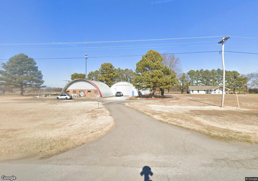
22493 State Highway 51 Wagoner, OK 74467
Estimated Value: $179,000 - $290,000
2
Beds
2
Baths
1,462
Sq Ft
$155/Sq Ft
Est. Value
About This Home
This home is located at 22493 State Highway 51, Wagoner, OK 74467 and is currently estimated at $227,206, approximately $155 per square foot. 22493 State Highway 51 is a home located in Wagoner County with nearby schools including Ellington Elementary School, William R. Teague Elementary School, and Wagoner Middle School.
Ownership History
Date
Name
Owned For
Owner Type
Purchase Details
Closed on
Sep 28, 2022
Sold by
Parnell Gary L and Parnell Deborah A
Bought by
Larue Ryan
Current Estimated Value
Home Financials for this Owner
Home Financials are based on the most recent Mortgage that was taken out on this home.
Original Mortgage
$156,750
Outstanding Balance
$151,333
Interest Rate
6.7%
Mortgage Type
New Conventional
Estimated Equity
$75,873
Purchase Details
Closed on
Dec 14, 2020
Sold by
Parnell Gary L and Parnell Deborah A
Bought by
Parnell Gary L and Parnell Deborah A
Purchase Details
Closed on
Aug 24, 2009
Sold by
Parnell Joyce D
Bought by
Parnell Gary L
Purchase Details
Closed on
Jul 6, 1990
Create a Home Valuation Report for This Property
The Home Valuation Report is an in-depth analysis detailing your home's value as well as a comparison with similar homes in the area
Home Values in the Area
Average Home Value in this Area
Purchase History
| Date | Buyer | Sale Price | Title Company |
|---|---|---|---|
| Larue Ryan | $165,000 | Allegiance Title & Escrow | |
| Parnell Gary L | -- | None Available | |
| Parnell Gary L | -- | None Available | |
| -- | $89,000 | -- |
Source: Public Records
Mortgage History
| Date | Status | Borrower | Loan Amount |
|---|---|---|---|
| Open | Larue Ryan | $156,750 |
Source: Public Records
Tax History Compared to Growth
Tax History
| Year | Tax Paid | Tax Assessment Tax Assessment Total Assessment is a certain percentage of the fair market value that is determined by local assessors to be the total taxable value of land and additions on the property. | Land | Improvement |
|---|---|---|---|---|
| 2025 | $1,590 | $18,610 | $1,452 | $17,158 |
| 2024 | $1,590 | $18,213 | $1,452 | $16,761 |
| 2023 | $1,633 | $17,683 | $1,452 | $16,231 |
| 2022 | $1,364 | $14,802 | $1,023 | $13,779 |
| 2021 | $1,305 | $14,096 | $959 | $13,137 |
| 2020 | $1,273 | $13,426 | $956 | $12,470 |
| 2019 | $1,044 | $12,787 | $921 | $11,866 |
| 2018 | $1,053 | $12,177 | $806 | $11,371 |
| 2017 | $988 | $11,597 | $806 | $10,791 |
| 2016 | $749 | $11,045 | $1,485 | $9,560 |
| 2015 | $759 | $11,045 | $1,485 | $9,560 |
| 2014 | $761 | $11,046 | $1,321 | $9,725 |
Source: Public Records
Map
Nearby Homes
- 73141 S 230 Rd
- 22292 E 731 Dr
- 23700 E 720 Rd
- 23535 E 720 Rd
- 15240 S 413th East Ave
- 23960 E 710 Rd
- 3 Old Town Rd
- 3 N Old Town Rd
- E0370 Rd
- 0 State Hwy 51 Hwy W Unit 2529536
- 26048 E 731 Rd
- 001 S 260 Rd
- 73131 S 262 Rd
- 19 E 710 Rd
- 37760 E 171st St S
- 75039 S 260 Rd
- 60 E 740 Rd
- 71725 S 210 Rd
- 71645 S 210 Rd
- 71700 S 210 Rd
- 22488 State Highway 51
- 22491 State Highway 51
- 22600 State Highway 51
- 22384 State Highway 51
- 22485 State Highway 51
- 22485 State Highway 51
- 22355 E 730 Rd
- 22790 State Highway 51
- 22790 State Highway 51
- 22790 State Highway 51
- 6205 W Highway 51
- 6250 W Hwy 51 Hwy E
- 0 Elevator Rd Unit 1607785
- 0 Elevator Rd Unit 1607788
- 0 Elevator Rd Unit 1547572
- 0 Elevator Rd Unit 1544722
- 0 Elevator Rd Unit 1544723
- 22290 E 731 Dr
- 22290 E 731 Dr
- 72860 S 220 Rd