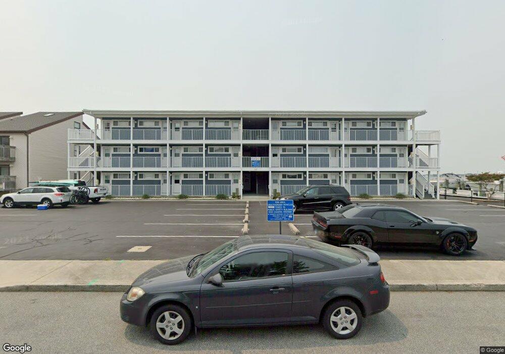
225 26th St Unit 15 Ocean City, MD 21842
Estimated Value: $245,000 - $305,000
--
Bed
1
Bath
396
Sq Ft
$707/Sq Ft
Est. Value
About This Home
This home is located at 225 26th St Unit 15, Ocean City, MD 21842 and is currently estimated at $280,067, approximately $707 per square foot. 225 26th St Unit 15 is a home located in Worcester County with nearby schools including Ocean City Elementary School, Stephen Decatur Middle School, and Berlin Intermediate School.
Ownership History
Date
Name
Owned For
Owner Type
Purchase Details
Closed on
Jan 31, 2018
Sold by
Butts Glenn C and Butts Carroll G
Bought by
Morris Andrew X and Morris Linda H
Current Estimated Value
Purchase Details
Closed on
Jun 26, 1990
Sold by
Sutton Donald B and Sutton Joann
Bought by
Smith Gary J and Smith Delores A
Home Financials for this Owner
Home Financials are based on the most recent Mortgage that was taken out on this home.
Original Mortgage
$35,000
Interest Rate
10.16%
Create a Home Valuation Report for This Property
The Home Valuation Report is an in-depth analysis detailing your home's value as well as a comparison with similar homes in the area
Home Values in the Area
Average Home Value in this Area
Purchase History
| Date | Buyer | Sale Price | Title Company |
|---|---|---|---|
| Morris Andrew X | $130,000 | Commonwealth Land Title Ins | |
| Smith Gary J | $55,000 | -- |
Source: Public Records
Mortgage History
| Date | Status | Borrower | Loan Amount |
|---|---|---|---|
| Previous Owner | Smith Gary J | $35,000 |
Source: Public Records
Tax History Compared to Growth
Tax History
| Year | Tax Paid | Tax Assessment Tax Assessment Total Assessment is a certain percentage of the fair market value that is determined by local assessors to be the total taxable value of land and additions on the property. | Land | Improvement |
|---|---|---|---|---|
| 2025 | $3,434 | $251,500 | $0 | $0 |
| 2024 | $2,654 | $190,200 | $0 | $0 |
| 2023 | $1,812 | $128,900 | $64,400 | $64,500 |
| 2022 | $1,765 | $125,600 | $0 | $0 |
| 2021 | $1,728 | $122,300 | $0 | $0 |
| 2020 | $1,681 | $119,000 | $59,500 | $59,500 |
| 2019 | $1,670 | $117,400 | $0 | $0 |
| 2018 | $1,631 | $115,800 | $0 | $0 |
| 2017 | $1,621 | $114,200 | $0 | $0 |
| 2016 | -- | $114,200 | $0 | $0 |
| 2015 | $1,521 | $94,200 | $0 | $0 |
| 2014 | $1,521 | $102,900 | $0 | $0 |
Source: Public Records
Map
Nearby Homes
- 212 25th St
- 2701 Judlee Ave
- 2601 Sparrow Ln Unit JOOOO5/2601J
- 320 Sunset Dr Unit 1
- 207 Bayshore Dr
- 224 Flounder Ln
- 411 Bayshore Dr Unit 301
- 2707 Judlee Ave
- 2707 Judlee Ave
- 413 Bayshore Dr Unit 201
- 2301 Philadelphia Ave Unit 210
- 300 Robin Dr
- 300 Robin Dr
- 102 25th St Unit 302
- 419 Bayshore Dr Unit 101
- 424 Lark Ln
- 424 Lark Ln
- 417 Robin Dr
- 417 Robin Dr
- 413 Robin Dr
- 225 26th St Unit 17
- 225 26th St Unit 21
- 225 26th St Unit 22
- 225 26th St Unit 4
- 225 26th St Unit 8
- 225 26th St Unit 16
- 225 26th St Unit 2
- 225 26th St Unit 20
- 225 26th St Unit 6
- 225 26th St Unit 24
- 225 26th St Unit 19
- 225 26th St Unit 11
- 225 26th St Unit 10
- 225 26th St Unit 9
- 225 26th St Unit 1
- 225 26th St Unit 13
- 225 26th St Unit 3
- 225 26th St Unit 12
- 225 26th St Unit 7
- 225 26th St Unit 18