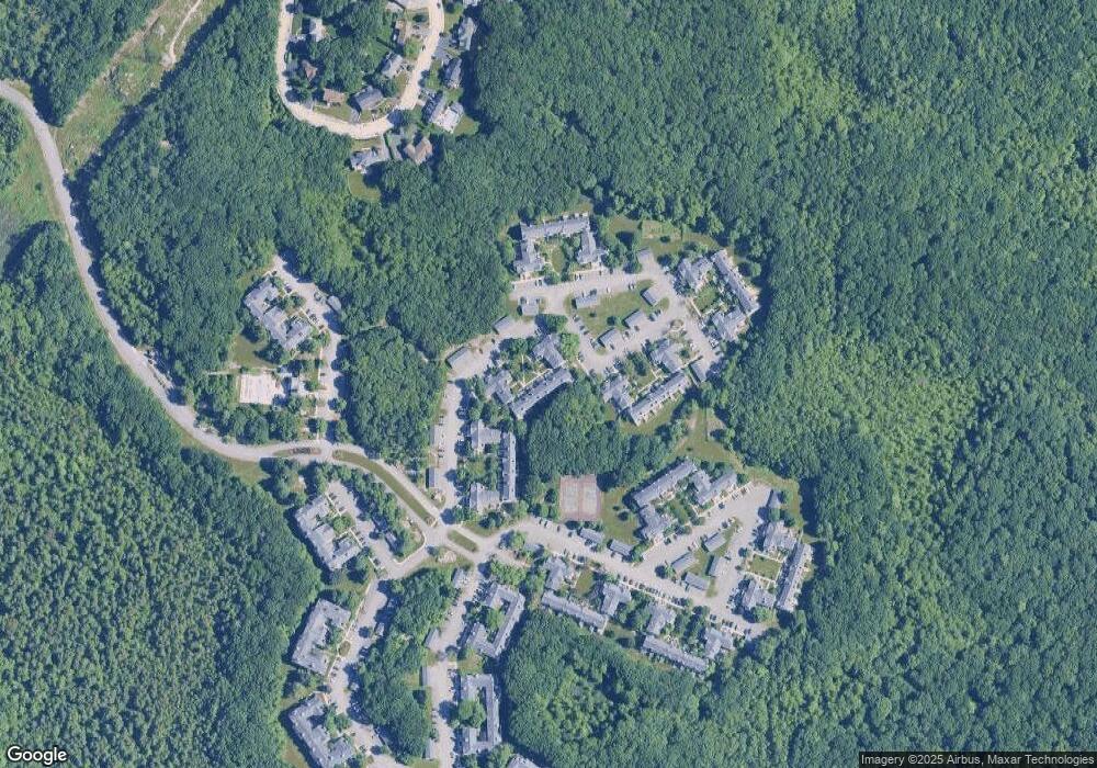
225 Allerton Commons Ln Braintree, MA 02184
South Braintree NeighborhoodEstimated Value: $473,000 - $554,000
2
Beds
2
Baths
1,121
Sq Ft
$455/Sq Ft
Est. Value
About This Home
This home is located at 225 Allerton Commons Ln, Braintree, MA 02184 and is currently estimated at $509,654, approximately $454 per square foot. 225 Allerton Commons Ln is a home located in Norfolk County with nearby schools including Braintree High School, First Baptist Christian School, and CATS Academy Boston.
Ownership History
Date
Name
Owned For
Owner Type
Purchase Details
Closed on
Jan 22, 2015
Sold by
Lane Veronica
Bought by
Verinica Lane Ret
Current Estimated Value
Purchase Details
Closed on
Aug 12, 2010
Sold by
Hull Claire W
Bought by
Mariante Benjamin R and Mariante Michele C
Purchase Details
Closed on
Oct 30, 2002
Sold by
Irwin Edward T
Bought by
Hull Claire W
Purchase Details
Closed on
Oct 29, 1999
Sold by
Hopkins Tr Florence M
Bought by
Irwin Edward T
Purchase Details
Closed on
Nov 3, 1994
Sold by
Devon Wood Lp
Bought by
Hopkins Florence M
Create a Home Valuation Report for This Property
The Home Valuation Report is an in-depth analysis detailing your home's value as well as a comparison with similar homes in the area
Home Values in the Area
Average Home Value in this Area
Purchase History
| Date | Buyer | Sale Price | Title Company |
|---|---|---|---|
| Verinica Lane Ret | -- | -- | |
| Mariante Benjamin R | $289,000 | -- | |
| Hull Claire W | $282,500 | -- | |
| Irwin Edward T | $195,000 | -- | |
| Hopkins Florence M | $141,320 | -- |
Source: Public Records
Mortgage History
| Date | Status | Borrower | Loan Amount |
|---|---|---|---|
| Previous Owner | Hopkins Florence M | $152,000 | |
| Previous Owner | Hopkins Florence M | $111,500 |
Source: Public Records
Tax History Compared to Growth
Tax History
| Year | Tax Paid | Tax Assessment Tax Assessment Total Assessment is a certain percentage of the fair market value that is determined by local assessors to be the total taxable value of land and additions on the property. | Land | Improvement |
|---|---|---|---|---|
| 2025 | $4,748 | $475,800 | $0 | $475,800 |
| 2024 | $4,259 | $449,300 | $0 | $449,300 |
| 2023 | $3,817 | $391,100 | $0 | $391,100 |
| 2022 | $3,636 | $365,400 | $0 | $365,400 |
| 2021 | $3,552 | $357,000 | $0 | $357,000 |
| 2020 | $3,380 | $342,800 | $0 | $342,800 |
| 2019 | $3,330 | $330,000 | $0 | $330,000 |
| 2018 | $3,218 | $305,300 | $0 | $305,300 |
| 2017 | $3,169 | $295,100 | $0 | $295,100 |
| 2016 | $3,017 | $274,800 | $0 | $274,800 |
| 2015 | $2,941 | $265,700 | $0 | $265,700 |
| 2014 | $2,886 | $252,700 | $0 | $252,700 |
Source: Public Records
Map
Nearby Homes
- 134 Tyson Commons Ln
- 30 Bradford Commons Ln
- 68 Massapoag St Unit 7
- 308 Forest St
- 16 Jay Rd
- 24 Fisher Rd
- 30 Thetford Ave
- 441 Grove St
- 211 Randolph St
- 432 Grove St
- 193 Randolph St
- 92 Mercury St
- 1501 Liberty St
- 972 Liberty St
- 262 West St
- 255 West St
- 117 Amherst Rd
- 256 Evergreen Ave
- 115 Richard Rd
- 501 Commerce Dr Unit 2310
- 226 Allerton Commons Ln
- 228 Allerton Commons Ln
- 227 Allerton Commons Ln
- 224 Allerton Commons Ln
- 223 Allerton Commons Ln
- 222 Allerton Commons Ln
- 221 Allerton Commons Ln
- 220 Allerton Commons Ln
- 219 Allerton Commons Ln
- 218 Allerton Commons Ln
- 217 Allerton Commons Ln
- 216 Allerton Commons Ln
- 215 Allerton Commons Ln
- 214 Allerton Commons Ln
- 213 Allerton Commons Ln
- 211 Allerton Commons Ln
- 212 Allerton Commons Ln
- 210 Allerton Commons Ln
- 209 Allerton Commons Ln
- 205 Allerton Commons Ln
