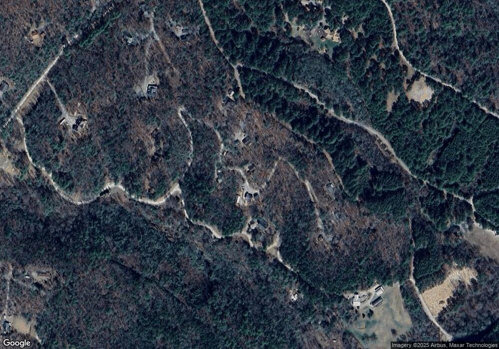
225 Amandas Way Unit 19 Murphy, NC 28906
Estimated Value: $246,000 - $272,000
2
Beds
2
Baths
878
Sq Ft
$292/Sq Ft
Est. Value
About This Home
This home is located at 225 Amandas Way Unit 19, Murphy, NC 28906 and is currently estimated at $256,154, approximately $291 per square foot. 225 Amandas Way Unit 19 is a home located in Cherokee County with nearby schools including Ranger Elementary/Middle School and Hiwassee Dam High School.
Ownership History
Date
Name
Owned For
Owner Type
Purchase Details
Closed on
Jun 6, 2017
Sold by
Tanner Bill and Tanner Dawn
Bought by
Shields Matthew Sean and Shields Paula Annette
Current Estimated Value
Home Financials for this Owner
Home Financials are based on the most recent Mortgage that was taken out on this home.
Original Mortgage
$119,000
Outstanding Balance
$100,342
Interest Rate
4.62%
Mortgage Type
Adjustable Rate Mortgage/ARM
Estimated Equity
$155,812
Purchase Details
Closed on
Jul 25, 2005
Sold by
Mackan John J and Mackan Lisa A
Bought by
Tanner Bill and Tanner Dawn
Home Financials for this Owner
Home Financials are based on the most recent Mortgage that was taken out on this home.
Original Mortgage
$115,650
Interest Rate
5.46%
Mortgage Type
New Conventional
Create a Home Valuation Report for This Property
The Home Valuation Report is an in-depth analysis detailing your home's value as well as a comparison with similar homes in the area
Home Values in the Area
Average Home Value in this Area
Purchase History
| Date | Buyer | Sale Price | Title Company |
|---|---|---|---|
| Shields Matthew Sean | $119,000 | None Available | |
| Tanner Bill | $129,000 | -- |
Source: Public Records
Mortgage History
| Date | Status | Borrower | Loan Amount |
|---|---|---|---|
| Open | Shields Matthew Sean | $119,000 | |
| Previous Owner | Tanner Bill | $115,650 |
Source: Public Records
Tax History Compared to Growth
Tax History
| Year | Tax Paid | Tax Assessment Tax Assessment Total Assessment is a certain percentage of the fair market value that is determined by local assessors to be the total taxable value of land and additions on the property. | Land | Improvement |
|---|---|---|---|---|
| 2025 | $1,034 | $144,370 | $0 | $0 |
| 2024 | $8 | $144,370 | $0 | $0 |
| 2023 | $8 | $144,370 | $0 | $0 |
| 2022 | $0 | $116,150 | $0 | $0 |
| 2021 | $710 | $116,150 | $18,000 | $98,150 |
| 2020 | $664 | $116,150 | $0 | $0 |
| 2019 | $629 | $96,770 | $0 | $0 |
| 2018 | $615 | $96,770 | $0 | $0 |
| 2017 | $608 | $95,540 | $0 | $0 |
| 2016 | $608 | $95,540 | $0 | $0 |
| 2015 | $608 | $95,540 | $22,440 | $73,100 |
| 2012 | -- | $95,540 | $22,440 | $73,100 |
Source: Public Records
Map
Nearby Homes
- 259 Degatide Dr
- 115 Degatide Dr
- 415 Kestrel Ridge Cir
- 43 Kestrel Ridge Cir
- Lot 43 Kestrel Ridge Cir
- 570 Hawthorne Ln
- 180 Hawthorne Ln
- 00 Antler Ln
- 305 Antler Ln
- 54 Hawthorne Ln
- n/a Maegan's Drive Par 3
- Lot 7 Foot Hill Estates
- Lot 1 Weece Mountain Estate
- 00 Headwaters Dr
- 10 Oakcrest Ln
- Lot 2 Lynae Ln
- Lot 27 Appalachian Estates Rd
- Lot 22 Appalachian Estates Rd
- 00 Mountain Watch Ln
- 00 Morrow Rd
- 225 Amandas Way
- 26-A Amandas Way
- 1.40 Ac Amandas Way
- 18 Amandas Way
- 240 Amandas Way
- 240 Amandas Way
- 177 Amandas Way
- 186 Amandas Way
- 171 Amandas Way
- 167 Amanda's Way
- 167 Amandas Way
- 281 Degatide Dr
- 259 Degatide Dr
- 375 Amandas Way
- 143 Amandas Way
- 143 Amandas Way Unit 21
- 0 Degatide Dr
- 00 Degatide Dr
- 26E Degatide Dr
- TR 12 Degatide Dr
