225 Ambrosia Way Atlanta, GA 30349
Estimated Value: $387,000 - $474,000
4
Beds
3
Baths
2,698
Sq Ft
$153/Sq Ft
Est. Value
About This Home
This home is located at 225 Ambrosia Way, Atlanta, GA 30349 and is currently estimated at $412,313, approximately $152 per square foot. 225 Ambrosia Way is a home located in Fulton County with nearby schools including Wolf Creek Elementary, Sandtown Middle School, and Westlake High School.
Ownership History
Date
Name
Owned For
Owner Type
Purchase Details
Closed on
May 26, 2006
Sold by
Patrick Malloy Communities Llc
Bought by
Grandpierre Reginald S
Current Estimated Value
Home Financials for this Owner
Home Financials are based on the most recent Mortgage that was taken out on this home.
Original Mortgage
$49,229
Interest Rate
6.16%
Mortgage Type
New Conventional
Create a Home Valuation Report for This Property
The Home Valuation Report is an in-depth analysis detailing your home's value as well as a comparison with similar homes in the area
Home Values in the Area
Average Home Value in this Area
Purchase History
| Date | Buyer | Sale Price | Title Company |
|---|---|---|---|
| Grandpierre Reginald S | $246,200 | -- |
Source: Public Records
Mortgage History
| Date | Status | Borrower | Loan Amount |
|---|---|---|---|
| Closed | Grandpierre Reginald S | $49,229 | |
| Open | Grandpierre Reginald S | $196,916 |
Source: Public Records
Tax History Compared to Growth
Tax History
| Year | Tax Paid | Tax Assessment Tax Assessment Total Assessment is a certain percentage of the fair market value that is determined by local assessors to be the total taxable value of land and additions on the property. | Land | Improvement |
|---|---|---|---|---|
| 2025 | $2,831 | $144,920 | $39,760 | $105,160 |
| 2023 | $3,893 | $137,920 | $39,640 | $98,280 |
| 2022 | $2,464 | $111,280 | $30,920 | $80,360 |
| 2021 | $2,351 | $99,400 | $19,800 | $79,600 |
| 2020 | $2,359 | $98,200 | $19,560 | $78,640 |
| 2019 | $2,616 | $96,520 | $19,240 | $77,280 |
| 2018 | $2,495 | $80,000 | $12,960 | $67,040 |
| 2017 | $1,943 | $64,760 | $14,200 | $50,560 |
| 2016 | $1,942 | $64,760 | $14,200 | $50,560 |
| 2015 | $1,948 | $64,760 | $14,200 | $50,560 |
| 2014 | $2,028 | $64,760 | $14,200 | $50,560 |
Source: Public Records
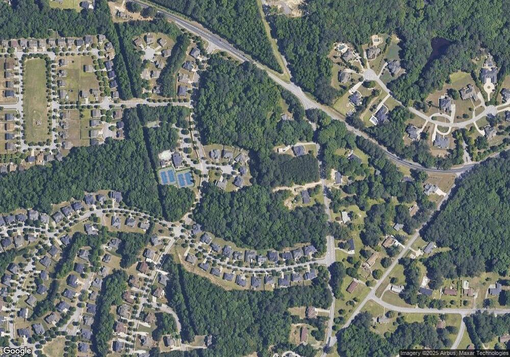
Map
Nearby Homes
- 3820 Union Rd SW
- 3665 Union Rd SW
- 145 Redsage Ridge
- 3858 Parham Way
- 5663 Eternal Dr
- 3640 Union Rd SW
- 3870 Parham Way
- 5618 Livesage Dr
- 5270 Serenity Ln SW
- 0 Peace Valley Dr SW Unit 7621854
- 5692 Greensage Dr
- 3560 Union Rd SW
- 4114 Bigsage Dr
- 3413 Wickum Rd SW
- 3720 Butner Rd
- 4040 Trimrose Ct
- 4040 Trimrose Ct Unit LOT 71
- 4044 Trimrose Ct
- 220 Ambrosia Way Unit 111
- 220 Ambrosia Way
- 215 Ambrosia Way
- 210 Ambrosia Way
- 205 Ambrosia Way
- 0 Ambrosia Way Unit 7064386
- 0 Ambrosia Way Unit 7161346
- 0 Ambrosia Way
- 200 Ambrosia Way
- 3825 Union Rd SW
- 3785 Union Rd SW
- 3737 Union Rd SW
- 5441 the Vyne Ave
- 5421 the Vyne Ave
- 5439 the Vyne Ave
- 3825 The Great Dr
- 0 the Vyne Ave Unit 7519619
- 0 the Vyne Ave Unit 8693445
- 0 the Vyne Ave Unit 8577844
- 0 the Vyne Ave Unit 8507345